


Upper Grave No.8 Reservoir Report
Last Updated: April 27, 2026
Nearby: Upper Grave No.7 Upper Grave No.9
°F
°F
mph
Wind
%
Humidity
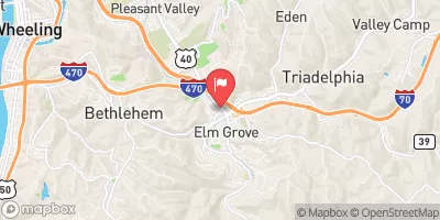
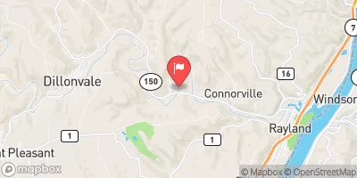
Upper Grave No.8 is a flood risk reduction dam located in Cameron, West Virginia, along the Grave Creek.
Summary
Completed in 1959 by the USDA NRCS, this earth dam stands 44 feet tall with a hydraulic height of 37 feet and a length of 210 feet. With a storage capacity of 58 acre-feet, it serves to mitigate flood risks in the area, particularly in Marshall County.
Managed by the Natural Resources Conservation Service, Upper Grave No.8 has a high hazard potential and undergoes inspections every two years, with the last assessment conducted in April 2014. Despite its satisfactory condition, the dam poses moderate risk (rating 3) and is regulated by the West Virginia Department of Environmental Protection (DWWM). With a primary purpose of flood risk reduction, this structure plays a crucial role in protecting the surrounding community from potential inundation events.
As an essential infrastructure for water resource management, Upper Grave No.8 contributes to the overall resilience of the region against flood hazards. Its strategic location, efficient design, and regulatory oversight ensure that it continues to fulfill its primary purpose of flood risk reduction while maintaining satisfactory operational standards. For water resource and climate enthusiasts, this dam serves as a noteworthy example of effective flood mitigation measures in West Virginia.
Regional Streamflow Levels

15-Day Long Term Forecast
Year Completed |
1959 |
Dam Length |
210 |
Dam Height |
44 |
River Or Stream |
GRAVE CREEK |
Primary Dam Type |
Earth |
Surface Area |
1 |
Hydraulic Height |
37 |
Drainage Area |
0.19 |
Nid Storage |
58 |
Outlet Gates |
Uncontrolled |
Hazard Potential |
High |
Foundations |
Rock, Soil |
Nid Height |
44 |
Seasonal Comparison
5-Day Hourly Forecast Detail
Dam Data Reference
Condition Assessment
SatisfactoryNo existing or potential dam safety deficiencies are recognized. Acceptable performance is expected under all loading conditions (static, hydrologic, seismic) in accordance with the minimum applicable state or federal regulatory criteria or tolerable risk guidelines.
Fair
No existing dam safety deficiencies are recognized for normal operating conditions. Rare or extreme hydrologic and/or seismic events may result in a dam safety deficiency. Risk may be in the range to take further action. Note: Rare or extreme event is defined by the regulatory agency based on their minimum
Poor A dam safety deficiency is recognized for normal operating conditions which may realistically occur. Remedial action is necessary. POOR may also be used when uncertainties exist as to critical analysis parameters which identify a potential dam safety deficiency. Investigations and studies are necessary.
Unsatisfactory
A dam safety deficiency is recognized that requires immediate or emergency remedial action for problem resolution.
Not Rated
The dam has not been inspected, is not under state or federal jurisdiction, or has been inspected but, for whatever reason, has not been rated.
Not Available
Dams for which the condition assessment is restricted to approved government users.
Hazard Potential Classification
HighDams assigned the high hazard potential classification are those where failure or mis-operation will probably cause loss of human life.
Significant
Dams assigned the significant hazard potential classification are those dams where failure or mis-operation results in no probable loss of human life but can cause economic loss, environment damage, disruption of lifeline facilities, or impact other concerns. Significant hazard potential classification dams are often located in predominantly rural or agricultural areas but could be in areas with population and significant infrastructure.
Low
Dams assigned the low hazard potential classification are those where failure or mis-operation results in no probable loss of human life and low economic and/or environmental losses. Losses are principally limited to the owner's property.
Undetermined
Dams for which a downstream hazard potential has not been designated or is not provided.
Not Available
Dams for which the downstream hazard potential is restricted to approved government users.
 Dunkard Fork Near Majorsville