
Pit R Ph #7 Reservoir Report
Last Updated: January 11, 2026
Pit R PH #7 is a hydroelectric power plant located in California's Shasta County.
°F
°F
mph
Wind
%
Humidity
Summary
The plant was built in the 1960s and has a capacity of 40 megawatts. The hydrology of the area is influenced by the Pit River, which provides the water that the plant uses to generate electricity. The river also provides irrigation water for agriculture in the area, including crops such as alfalfa, hay, and potatoes. The area has a significant snowpack, which also contributes to the water supply for the plant and for agriculture. The region is popular for recreational activities such as fishing, camping, and hiking, with the nearby Shasta Lake providing opportunities for boating and water sports. Overall, Pit R PH #7 is an important source of hydroelectric power and water for agriculture and recreation in the region.
Reservoir Details
| Storage 24hr Change | 3.46% |
| Percent of Normal | 100% |
| Minimum |
3,111.0 acre-ft
2021-10-08 |
| Maximum |
34,142.0 acre-ft
2022-09-04 |
| Average | 32,945 acre-ft |
| Dam_Height | 35 |
| Hydraulic_Height | 30 |
| Drainage_Area | 4897 |
| Year_Completed | 1965 |
| Nid_Storage | 0.1 |
| Hazard_Potential | Significant |
| Structural_Height | 35 |
| River_Or_Stream | Pit River |
| Primary_Dam_Type | Rockfill |
| Nid_Height | 35 |
Seasonal Comparison
Storage Levels
Pool Elevation Levels
Top Conserv Storage Levels
Inflow Levels
Weather Forecast
Nearby Streamflow Levels
 Sacramento R A Delta Ca
|
2740cfs |
 Burney C A Burney Falls Nr Burney Ca
|
168cfs |
 Cow C Nr Millville Ca
|
736cfs |
 Anderson-Cottonwood Id Cn At Sharon St Redding Ca
|
41cfs |
 Pit R Bl Pit No 1 Ph Nr Fall River Mills Ca
|
1940cfs |
 Sacramento R A Keswick Ca
|
15200cfs |
Dam Data Reference
Condition Assessment
SatisfactoryNo existing or potential dam safety deficiencies are recognized. Acceptable performance is expected under all loading conditions (static, hydrologic, seismic) in accordance with the minimum applicable state or federal regulatory criteria or tolerable risk guidelines.
Fair
No existing dam safety deficiencies are recognized for normal operating conditions. Rare or extreme hydrologic and/or seismic events may result in a dam safety deficiency. Risk may be in the range to take further action. Note: Rare or extreme event is defined by the regulatory agency based on their minimum
Poor A dam safety deficiency is recognized for normal operating conditions which may realistically occur. Remedial action is necessary. POOR may also be used when uncertainties exist as to critical analysis parameters which identify a potential dam safety deficiency. Investigations and studies are necessary.
Unsatisfactory
A dam safety deficiency is recognized that requires immediate or emergency remedial action for problem resolution.
Not Rated
The dam has not been inspected, is not under state or federal jurisdiction, or has been inspected but, for whatever reason, has not been rated.
Not Available
Dams for which the condition assessment is restricted to approved government users.
Hazard Potential Classification
HighDams assigned the high hazard potential classification are those where failure or mis-operation will probably cause loss of human life.
Significant
Dams assigned the significant hazard potential classification are those dams where failure or mis-operation results in no probable loss of human life but can cause economic loss, environment damage, disruption of lifeline facilities, or impact other concerns. Significant hazard potential classification dams are often located in predominantly rural or agricultural areas but could be in areas with population and significant infrastructure.
Low
Dams assigned the low hazard potential classification are those where failure or mis-operation results in no probable loss of human life and low economic and/or environmental losses. Losses are principally limited to the owner's property.
Undetermined
Dams for which a downstream hazard potential has not been designated or is not provided.
Not Available
Dams for which the downstream hazard potential is restricted to approved government users.
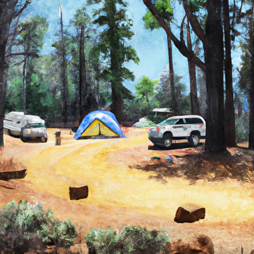
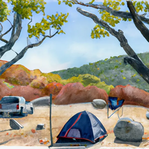
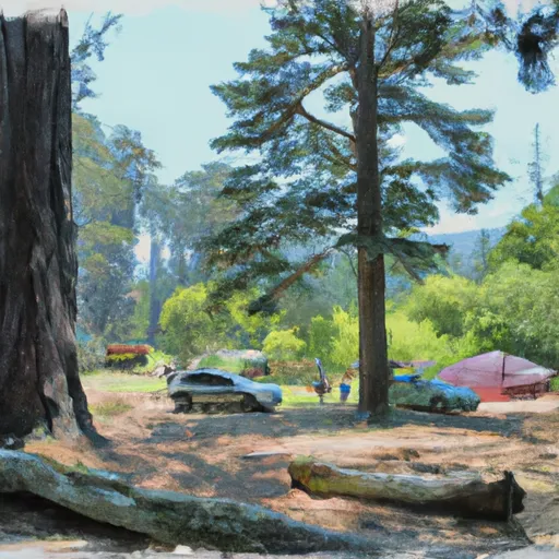
Area Campgrounds
| Location | Reservations | Toilets |
|---|---|---|
 Chirpchatter Campground
|
||
 Madrone
|
||
 Madrone Campground
|
||
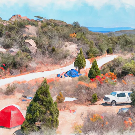 Arbuckle Flat
|
||
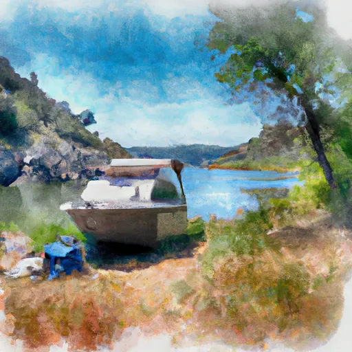 Arbuckle Flat Boat in Campground
|
||
 Rend Island Campground
|
 Pit No. 7 Afterbay
 Pit R Ph #7
 Pit R Ph #6