


Grayson Lake Dam Reservoir Report
Last Updated: April 25, 2026
Nearby: L.C. Hall Dam Brushy Lake
°F
°F
mph
Wind
%
Humidity
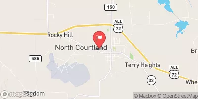
Grayson Lake Dam, located in Winston County, Alabama, was completed in 1952 and serves as a focal point for recreational activities in the area.
Summary
The dam, primarily owned by a private entity, stands at a structural height of 36 feet, with a hydraulic height of 34 feet. It is situated on the TR-Collier Creek and has a maximum storage capacity of 122 acre-feet, making it a significant water resource for the region.
The dam, classified as an earth dam, is managed by the Nashville District of the US Army Corps of Engineers and falls under Congressional District 04, Alabama, represented by Robert B. Aderholt. While the dam is primarily used for recreation, it also serves as a vital component of the local water management system, with a hazard potential rated as significant. Despite not being rated for its condition, the dam continues to play a crucial role in water resource management in the area and holds a key position in ensuring water security for the local community.
Water and climate enthusiasts visiting Grayson Lake Dam can appreciate its contribution to water storage and recreational activities in Alabama. With its strategic location on TR-Collier Creek and significant storage capacity, the dam stands as a testament to effective water management practices in the region. As discussions around climate change and water conservation continue to evolve, Grayson Lake Dam remains a crucial infrastructure for ensuring water sustainability and resilience in the face of changing environmental conditions.
Regional Streamflow Levels
15-Day Long Term Forecast
Year Completed |
1952 |
Dam Length |
130 |
River Or Stream |
TR-COLLIER CREEK |
Primary Dam Type |
Earth |
Hydraulic Height |
34 |
Nid Storage |
122 |
Structural Height |
36 |
Hazard Potential |
Significant |
Nid Height |
36 |
Seasonal Comparison
5-Day Hourly Forecast Detail
Dam Data Reference
Condition Assessment
SatisfactoryNo existing or potential dam safety deficiencies are recognized. Acceptable performance is expected under all loading conditions (static, hydrologic, seismic) in accordance with the minimum applicable state or federal regulatory criteria or tolerable risk guidelines.
Fair
No existing dam safety deficiencies are recognized for normal operating conditions. Rare or extreme hydrologic and/or seismic events may result in a dam safety deficiency. Risk may be in the range to take further action. Note: Rare or extreme event is defined by the regulatory agency based on their minimum
Poor A dam safety deficiency is recognized for normal operating conditions which may realistically occur. Remedial action is necessary. POOR may also be used when uncertainties exist as to critical analysis parameters which identify a potential dam safety deficiency. Investigations and studies are necessary.
Unsatisfactory
A dam safety deficiency is recognized that requires immediate or emergency remedial action for problem resolution.
Not Rated
The dam has not been inspected, is not under state or federal jurisdiction, or has been inspected but, for whatever reason, has not been rated.
Not Available
Dams for which the condition assessment is restricted to approved government users.
Hazard Potential Classification
HighDams assigned the high hazard potential classification are those where failure or mis-operation will probably cause loss of human life.
Significant
Dams assigned the significant hazard potential classification are those dams where failure or mis-operation results in no probable loss of human life but can cause economic loss, environment damage, disruption of lifeline facilities, or impact other concerns. Significant hazard potential classification dams are often located in predominantly rural or agricultural areas but could be in areas with population and significant infrastructure.
Low
Dams assigned the low hazard potential classification are those where failure or mis-operation results in no probable loss of human life and low economic and/or environmental losses. Losses are principally limited to the owner's property.
Undetermined
Dams for which a downstream hazard potential has not been designated or is not provided.
Not Available
Dams for which the downstream hazard potential is restricted to approved government users.
Area Campgrounds
| Location | Reservations | Toilets |
|---|---|---|
 Brushy Lake Recreation Area
|
||
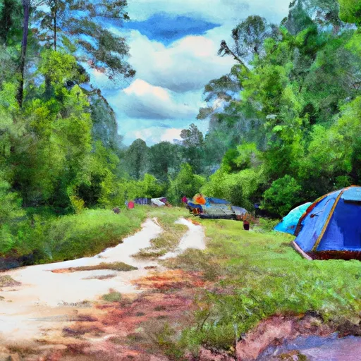 Brushy Lake Recreational Area Campground
|
||
 Claymore Camp #1
|
||
 McDougle Camp
|
||
 Wolf Pen Hunters Camp
|
||
 Corinth Recreation Area
|