
Fort Sherman Dam Reservoir Report
Last Updated: December 26, 2025
Located in Titus, Texas, the Fort Sherman Dam is a vital water supply structure designed by URS and Forrest and Cotton and completed in 1978.
°F
°F
mph
Wind
%
Humidity
Summary
This earth dam stands at a height of 69 feet and spans a length of 7060 feet, with a storage capacity of 306,093 acre-feet. Situated on Big Cypress Creek, the dam serves the primary purpose of providing water supply for the region, with a normal storage capacity of 204,678 acre-feet and a surface area of 9004 acres.
Managed by the Texas Commission on Environmental Quality (TCEQ), the Fort Sherman Dam is regulated, permitted, inspected, and enforced by the state, ensuring its structural integrity and safe operation. With a drainage area of 239 square miles and a maximum discharge of 234,603 cubic feet per second, the dam plays a crucial role in managing water resources in the area. The dam features outlet gates for controlled water release, including slide gates and uncontrolled spillways.
Despite not having a designated hazard potential rating, the Fort Sherman Dam is assessed to be in satisfactory condition as of April 2021. Regular inspections and a maintenance schedule contribute to its operational safety. This significant water infrastructure, nestled in the picturesque surroundings of Titus, Texas, underscores the importance of sustainable water resource management and climate resilience in the region.
Dam Height |
69 |
Hydraulic Height |
69 |
Drainage Area |
239 |
Year Completed |
1978 |
Structural Height |
69 |
Nid Storage |
306093 |
Foundations |
Soil |
Surface Area |
9004 |
Outlet Gates |
Other Controlled - 1, Slide (sluice gate) - 1, Uncontrolled - 1 |
River Or Stream |
BIG CYPRESS CREEK |
Dam Length |
7060 |
Hazard Potential |
Not Available |
Primary Dam Type |
Earth |
Nid Height |
69 |
Seasonal Comparison
Weather Forecast
Nearby Streamflow Levels
Dam Data Reference
Condition Assessment
SatisfactoryNo existing or potential dam safety deficiencies are recognized. Acceptable performance is expected under all loading conditions (static, hydrologic, seismic) in accordance with the minimum applicable state or federal regulatory criteria or tolerable risk guidelines.
Fair
No existing dam safety deficiencies are recognized for normal operating conditions. Rare or extreme hydrologic and/or seismic events may result in a dam safety deficiency. Risk may be in the range to take further action. Note: Rare or extreme event is defined by the regulatory agency based on their minimum
Poor A dam safety deficiency is recognized for normal operating conditions which may realistically occur. Remedial action is necessary. POOR may also be used when uncertainties exist as to critical analysis parameters which identify a potential dam safety deficiency. Investigations and studies are necessary.
Unsatisfactory
A dam safety deficiency is recognized that requires immediate or emergency remedial action for problem resolution.
Not Rated
The dam has not been inspected, is not under state or federal jurisdiction, or has been inspected but, for whatever reason, has not been rated.
Not Available
Dams for which the condition assessment is restricted to approved government users.
Hazard Potential Classification
HighDams assigned the high hazard potential classification are those where failure or mis-operation will probably cause loss of human life.
Significant
Dams assigned the significant hazard potential classification are those dams where failure or mis-operation results in no probable loss of human life but can cause economic loss, environment damage, disruption of lifeline facilities, or impact other concerns. Significant hazard potential classification dams are often located in predominantly rural or agricultural areas but could be in areas with population and significant infrastructure.
Low
Dams assigned the low hazard potential classification are those where failure or mis-operation results in no probable loss of human life and low economic and/or environmental losses. Losses are principally limited to the owner's property.
Undetermined
Dams for which a downstream hazard potential has not been designated or is not provided.
Not Available
Dams for which the downstream hazard potential is restricted to approved government users.
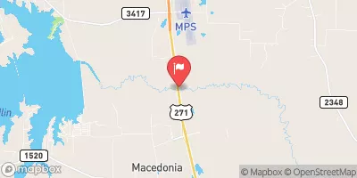
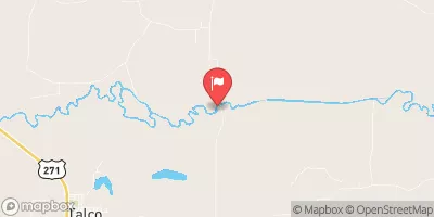
 Titus County Park
 Monticello Park - Monticello Reservoir
 Lake Bob Sandlin State Park
 Jack Guthrie Park - Monticello Reservoir
 Twin Oaks Park - Lake Cypress Springs
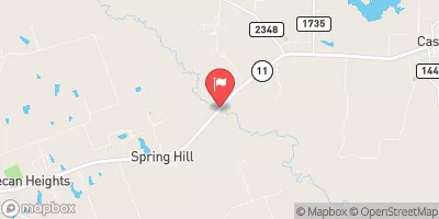
 Dogwood Park
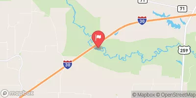
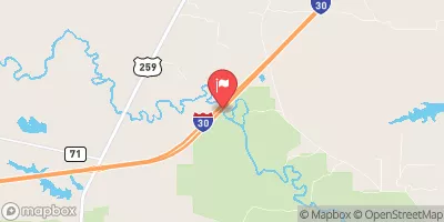
 Fort Sherman Dam
 Lk Bob Sandlin Nr Mount Pleasant
 Monticello Res Nr Mount Pleasant
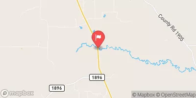
 Lk Cypress Spgs Nr Mount Vernon
 Titus County