
Ne Trib Leon River Ws Scs Site 23 Dam Reservoir Report
Last Updated: December 30, 2025
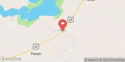
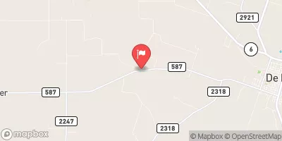
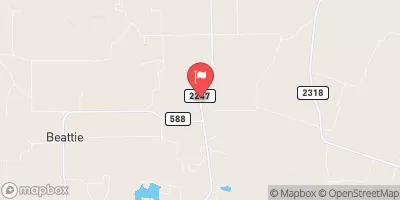
The Ne Trib Leon River WS SCS Site 23 Dam, located in Comanche, Texas, is a crucial structure designed by the USDA NRCS in 1966 for flood risk reduction along the TR-RESLEY CREEK.
°F
°F
mph
Wind
%
Humidity
Summary
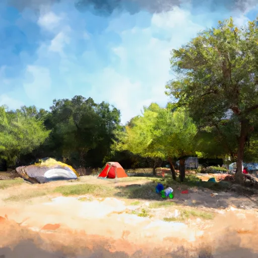
Standing at 42 feet tall and 2175 feet long, this earth dam plays a key role in managing the 4.12 square miles of drainage area and storing up to 1900 acre-feet of water. Despite its primary purpose being flood risk reduction, it also serves as a recreational area, offering 28 acres of surface area for outdoor activities.
Managed by the local government and regulated by the Texas Commission on Environmental Quality (TCEQ), the Ne Trib Leon River WS SCS Site 23 Dam has not been rated for condition assessment but is considered to have a high risk potential. Although it lacks a spillway, the dam has one outlet gate and has not experienced any modifications over the years. With no emergency action plan in place, it remains vital for water resource and climate enthusiasts to monitor and advocate for the safety and maintenance of this important infrastructure.
Year Completed |
1966 |
Dam Length |
2175 |
Dam Height |
42 |
River Or Stream |
TR-RESLEY CREEK |
Primary Dam Type |
Earth |
Surface Area |
28 |
Hydraulic Height |
42 |
Drainage Area |
4.12 |
Nid Storage |
1900 |
Structural Height |
42 |
Outlet Gates |
None - 1 |
Hazard Potential |
Not Available |
Foundations |
Unlisted/Unknown |
Nid Height |
42 |
Seasonal Comparison
Weather Forecast
Nearby Streamflow Levels
 Leon Rv Nr Hasse
|
13cfs |
 Leon Rv Nr Hamilton
|
13cfs |
 N Bosque Rv At Hico
|
4cfs |
 Leon Rv Nr De Leon
|
0cfs |
 Sabana Rv Nr De Leon
|
0cfs |
 Copperas Ck At Fm 2247 Nr Comanche
|
2cfs |
Dam Data Reference
Condition Assessment
SatisfactoryNo existing or potential dam safety deficiencies are recognized. Acceptable performance is expected under all loading conditions (static, hydrologic, seismic) in accordance with the minimum applicable state or federal regulatory criteria or tolerable risk guidelines.
Fair
No existing dam safety deficiencies are recognized for normal operating conditions. Rare or extreme hydrologic and/or seismic events may result in a dam safety deficiency. Risk may be in the range to take further action. Note: Rare or extreme event is defined by the regulatory agency based on their minimum
Poor A dam safety deficiency is recognized for normal operating conditions which may realistically occur. Remedial action is necessary. POOR may also be used when uncertainties exist as to critical analysis parameters which identify a potential dam safety deficiency. Investigations and studies are necessary.
Unsatisfactory
A dam safety deficiency is recognized that requires immediate or emergency remedial action for problem resolution.
Not Rated
The dam has not been inspected, is not under state or federal jurisdiction, or has been inspected but, for whatever reason, has not been rated.
Not Available
Dams for which the condition assessment is restricted to approved government users.
Hazard Potential Classification
HighDams assigned the high hazard potential classification are those where failure or mis-operation will probably cause loss of human life.
Significant
Dams assigned the significant hazard potential classification are those dams where failure or mis-operation results in no probable loss of human life but can cause economic loss, environment damage, disruption of lifeline facilities, or impact other concerns. Significant hazard potential classification dams are often located in predominantly rural or agricultural areas but could be in areas with population and significant infrastructure.
Low
Dams assigned the low hazard potential classification are those where failure or mis-operation results in no probable loss of human life and low economic and/or environmental losses. Losses are principally limited to the owner's property.
Undetermined
Dams for which a downstream hazard potential has not been designated or is not provided.
Not Available
Dams for which the downstream hazard potential is restricted to approved government users.
Area Campgrounds
| Location | Reservations | Toilets |
|---|---|---|
 Dublin City Park
|
||
 Sowell Creek - Proctor Lake
|
||
 Weiser Community Park
|
 Ne Trib Leon River Ws Scs Site 23 Dam