
Poinsett Wid Site 113 Reservoir Report
Last Updated: December 6, 2025
Located in Poinsett County, Arkansas, Poinsett Wid Site 113 is a vital structure designed by the USDA NRCS to reduce flood risks along the Big Creek - TR.
°F
°F
mph
Wind
%
Humidity
Summary
Completed in 1981, this earth dam stands at 25 feet high and spans 1000 feet, with a storage capacity of 198 acre-feet. The dam serves a primary purpose of flood risk reduction and is regulated by the Arkansas Natural Resources Commission, with state permitting, inspection, and enforcement in place.
With a high hazard potential and a moderate risk assessment rating, Poinsett Wid Site 113 is a critical infrastructure for the local community in Greenfield. The dam's uncontrolled spillway and outlet gates provide emergency water discharge capabilities, although the structure has not been rated for its condition assessment. While the last inspection took place in March 2016, the dam's emergency action plan status and risk management measures remain unspecified, highlighting the need for continued monitoring and maintenance to ensure public safety and water resource preservation in the region.
Water resource and climate enthusiasts will appreciate the significance of Poinsett Wid Site 113 as a key component of flood risk management in Poinsett County. As part of the USDA NRCS's efforts to protect communities from potential disasters, this earth dam plays a crucial role in mitigating flood impacts along the Big Creek - TR. With its high hazard potential and moderate risk assessment, the dam underscores the importance of proactive risk management and emergency preparedness to safeguard the local population and surrounding natural environment.
Year Completed |
1981 |
Dam Length |
1000 |
Dam Height |
25 |
River Or Stream |
BIG CREEK - TR |
Primary Dam Type |
Earth |
Surface Area |
17 |
Drainage Area |
0.5 |
Nid Storage |
198 |
Outlet Gates |
Uncontrolled |
Hazard Potential |
High |
Nid Height |
25 |
Seasonal Comparison
Weather Forecast
Nearby Streamflow Levels
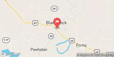
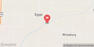 Cache River At Egypt
|
21cfs |
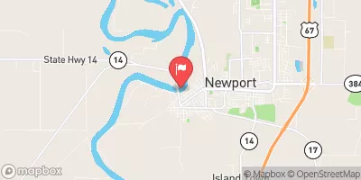 White River At Newport
|
11300cfs |
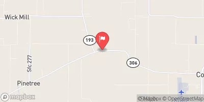 Languille River Near Colt
|
12cfs |
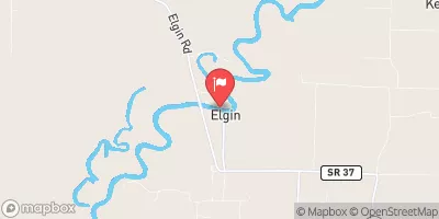 Black River At Elgin Ferry
|
3780cfs |
 Black River At Black Rock
|
4290cfs |
 Languille River At Palestine
|
11cfs |
Dam Data Reference
Condition Assessment
SatisfactoryNo existing or potential dam safety deficiencies are recognized. Acceptable performance is expected under all loading conditions (static, hydrologic, seismic) in accordance with the minimum applicable state or federal regulatory criteria or tolerable risk guidelines.
Fair
No existing dam safety deficiencies are recognized for normal operating conditions. Rare or extreme hydrologic and/or seismic events may result in a dam safety deficiency. Risk may be in the range to take further action. Note: Rare or extreme event is defined by the regulatory agency based on their minimum
Poor A dam safety deficiency is recognized for normal operating conditions which may realistically occur. Remedial action is necessary. POOR may also be used when uncertainties exist as to critical analysis parameters which identify a potential dam safety deficiency. Investigations and studies are necessary.
Unsatisfactory
A dam safety deficiency is recognized that requires immediate or emergency remedial action for problem resolution.
Not Rated
The dam has not been inspected, is not under state or federal jurisdiction, or has been inspected but, for whatever reason, has not been rated.
Not Available
Dams for which the condition assessment is restricted to approved government users.
Hazard Potential Classification
HighDams assigned the high hazard potential classification are those where failure or mis-operation will probably cause loss of human life.
Significant
Dams assigned the significant hazard potential classification are those dams where failure or mis-operation results in no probable loss of human life but can cause economic loss, environment damage, disruption of lifeline facilities, or impact other concerns. Significant hazard potential classification dams are often located in predominantly rural or agricultural areas but could be in areas with population and significant infrastructure.
Low
Dams assigned the low hazard potential classification are those where failure or mis-operation results in no probable loss of human life and low economic and/or environmental losses. Losses are principally limited to the owner's property.
Undetermined
Dams for which a downstream hazard potential has not been designated or is not provided.
Not Available
Dams for which the downstream hazard potential is restricted to approved government users.
 Poinsett Wid Site 113
 Craighead Forest Park
 White Hall Wildlife Management Area
 Jonesboro Southside Softball Complex
 St. Francis Sunken Lands Wildlife Management Area