


Hartwell Dam Reservoir Report
Last Updated: April 27, 2026
°F
°F
mph
Wind
%
Humidity
Hartwell Dam, located on the Savannah River in Georgia, serves multiple purposes including hydroelectric power generation, flood risk reduction, and water supply.
Summary
Built in 1962 by the US Army Corps of Engineers, the dam stands at 155 feet high and has a total length of 17,852 feet. It has a maximum storage capacity of 3,438,700 acre-feet and covers a surface area of 55,950 acres. The dam's spillway gates have only been opened four times due to flooding, and the risk assessment for the project characterizes its risk as low, though there is still a potential for dangerous flood waters during extreme storm events.
USACE has implemented various risk management measures to prepare for emergency incidents and ensure the safety and integrity of Hartwell Dam. This includes regularly updating the Emergency Action Plan, conducting emergency exercises with local response teams, and performing regular inspections and maintenance on the dam structure. USACE works closely with local authorities, such as Augusta-Richmond County, during flood events to coordinate spillway releases from downstream dams like Thurmond Dam, which aids in mitigating flooding for downstream populations. Despite a slight chance of high lake levels resulting in embankment breaches, USACE's proactive approach and collaboration with local stakeholders demonstrate a commitment to ensuring the safety and resilience of Hartwell Dam in the face of potential risks.
Overall, Hartwell Dam plays a critical role in managing water resources and mitigating flood risks along the Savannah River. With a focus on proactive risk management and collaboration with local partners, USACE is dedicated to maintaining the safety and functionality of the dam to protect downstream communities and ensure the sustainable use of water resources in the region.
Regional Streamflow Levels
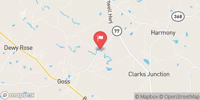 Beaverdam Creek Ab Elberton Ga
|
20cfs |
 Rocky River Nr Starr
|
28cfs |
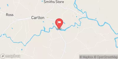
 Broad River Above Carlton
|
312cfs |
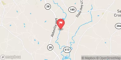
 South Fork Broad River At Carlton
|
87cfs |
 Broad River Near Bell
|
428cfs |
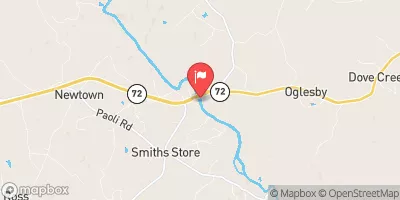
 Little River Near Mt. Carmel
|
42cfs |
15-Day Long Term Forecast
Year Completed |
1962 |
Dam Length |
17852 |
Dam Height |
155 |
River Or Stream |
SAVANNAH RIVER |
Primary Dam Type |
Concrete |
Surface Area |
55950 |
Hydraulic Height |
199 |
Drainage Area |
2088 |
Nid Storage |
3438700 |
Structural Height |
204 |
Outlet Gates |
Tainter (radial) - 0 |
Hazard Potential |
High |
Nid Height |
204 |
Seasonal Comparison
5-Day Hourly Forecast Detail
Dam Data Reference
Condition Assessment
SatisfactoryNo existing or potential dam safety deficiencies are recognized. Acceptable performance is expected under all loading conditions (static, hydrologic, seismic) in accordance with the minimum applicable state or federal regulatory criteria or tolerable risk guidelines.
Fair
No existing dam safety deficiencies are recognized for normal operating conditions. Rare or extreme hydrologic and/or seismic events may result in a dam safety deficiency. Risk may be in the range to take further action. Note: Rare or extreme event is defined by the regulatory agency based on their minimum
Poor A dam safety deficiency is recognized for normal operating conditions which may realistically occur. Remedial action is necessary. POOR may also be used when uncertainties exist as to critical analysis parameters which identify a potential dam safety deficiency. Investigations and studies are necessary.
Unsatisfactory
A dam safety deficiency is recognized that requires immediate or emergency remedial action for problem resolution.
Not Rated
The dam has not been inspected, is not under state or federal jurisdiction, or has been inspected but, for whatever reason, has not been rated.
Not Available
Dams for which the condition assessment is restricted to approved government users.
Hazard Potential Classification
HighDams assigned the high hazard potential classification are those where failure or mis-operation will probably cause loss of human life.
Significant
Dams assigned the significant hazard potential classification are those dams where failure or mis-operation results in no probable loss of human life but can cause economic loss, environment damage, disruption of lifeline facilities, or impact other concerns. Significant hazard potential classification dams are often located in predominantly rural or agricultural areas but could be in areas with population and significant infrastructure.
Low
Dams assigned the low hazard potential classification are those where failure or mis-operation results in no probable loss of human life and low economic and/or environmental losses. Losses are principally limited to the owner's property.
Undetermined
Dams for which a downstream hazard potential has not been designated or is not provided.
Not Available
Dams for which the downstream hazard potential is restricted to approved government users.
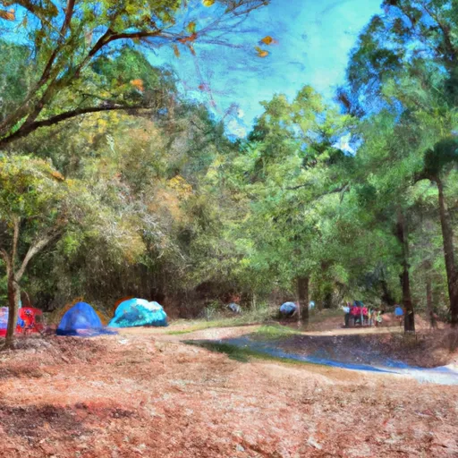
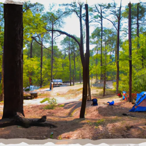
Area Campgrounds
| Location | Reservations | Toilets |
|---|---|---|
 Watsadlers
|
||
 Sadlers Creek State Park
|
||
 Miltown
|
||
 Hart State Park
|
||
 Springfield
|
||
 Springfield - Hartwell Lake
|
 Boat Ramp Hart County