
Augusta Canal Right Embankment Reservoir Report
Last Updated: January 11, 2026
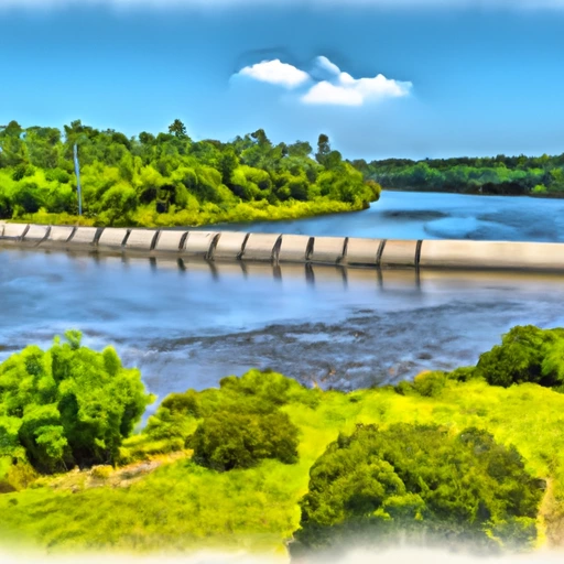
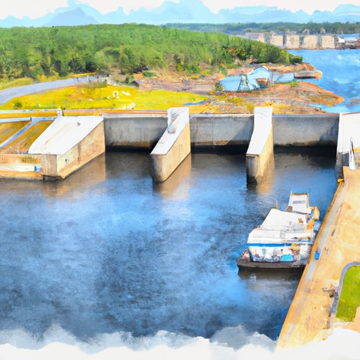
The Augusta Canal Right Embankment, located in Augusta, Georgia, is a significant water resource structure primarily used for water supply and hydroelectric purposes.
°F
°F
mph
Wind
%
Humidity
Summary
Built in 1847, this earth dam stands at a height of 14 feet and spans a length of 36,082 feet, with a storage capacity of 1,100 acre-feet. Despite its age, the dam continues to serve its purpose effectively, providing essential water resources to the surrounding area.
Managed by the Federal Energy Regulatory Commission, the Augusta Canal Right Embankment has a high hazard potential and is considered to be at risk due to its age and condition assessment that is currently unavailable. While the dam has not undergone modification in recent years, it remains a vital component of the local water supply infrastructure. With its stone core and rock foundation, this historic structure plays a crucial role in maintaining water levels and supporting the surrounding ecosystem.
As an integral part of the Augusta Canal system, the Right Embankment is a key feature in the water management and energy production efforts in the region. With its rich history and continued functionality, this earth dam stands as a testament to the importance of sustainable water resource management and climate resilience in the face of changing environmental conditions.
Year Completed |
1847 |
Dam Length |
36082 |
Dam Height |
14 |
River Or Stream |
Augusta Canal |
Primary Dam Type |
Earth |
Surface Area |
110 |
Drainage Area |
37.5 |
Nid Storage |
1100 |
Hazard Potential |
High |
Foundations |
Rock |
Nid Height |
14 |
Seasonal Comparison
Weather Forecast
Nearby Streamflow Levels
 Augusta Canal Nr Augusta (Upper)
|
1470cfs |
 Butler Creek Below 7th Avenue
|
9cfs |
 Savannah River At Augusta
|
4240cfs |
 Spirit Creek At Us 1
|
13cfs |
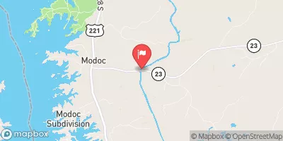 Stevens Creek Near Modoc
|
61cfs |
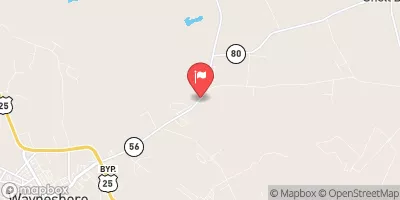 Brier Creek Near Waynesboro
|
281cfs |
Dam Data Reference
Condition Assessment
SatisfactoryNo existing or potential dam safety deficiencies are recognized. Acceptable performance is expected under all loading conditions (static, hydrologic, seismic) in accordance with the minimum applicable state or federal regulatory criteria or tolerable risk guidelines.
Fair
No existing dam safety deficiencies are recognized for normal operating conditions. Rare or extreme hydrologic and/or seismic events may result in a dam safety deficiency. Risk may be in the range to take further action. Note: Rare or extreme event is defined by the regulatory agency based on their minimum
Poor A dam safety deficiency is recognized for normal operating conditions which may realistically occur. Remedial action is necessary. POOR may also be used when uncertainties exist as to critical analysis parameters which identify a potential dam safety deficiency. Investigations and studies are necessary.
Unsatisfactory
A dam safety deficiency is recognized that requires immediate or emergency remedial action for problem resolution.
Not Rated
The dam has not been inspected, is not under state or federal jurisdiction, or has been inspected but, for whatever reason, has not been rated.
Not Available
Dams for which the condition assessment is restricted to approved government users.
Hazard Potential Classification
HighDams assigned the high hazard potential classification are those where failure or mis-operation will probably cause loss of human life.
Significant
Dams assigned the significant hazard potential classification are those dams where failure or mis-operation results in no probable loss of human life but can cause economic loss, environment damage, disruption of lifeline facilities, or impact other concerns. Significant hazard potential classification dams are often located in predominantly rural or agricultural areas but could be in areas with population and significant infrastructure.
Low
Dams assigned the low hazard potential classification are those where failure or mis-operation results in no probable loss of human life and low economic and/or environmental losses. Losses are principally limited to the owner's property.
Undetermined
Dams for which a downstream hazard potential has not been designated or is not provided.
Not Available
Dams for which the downstream hazard potential is restricted to approved government users.
Nearby Reservoirs
-
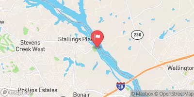
 Augusta Canal Right Embankment
-
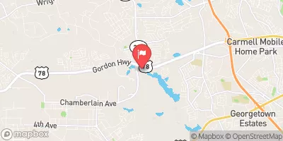
Aug. Canal Left Embkmnt + Structures (Below + Bulkhead Structure)
-
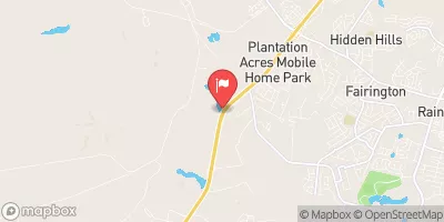
Lake Olmstead Dam
-
Highland Avenue Wtp Pond Dam #1 East
-
Highland Avenue Wtp Pond Dam #2 West
-
Lee Lake Dam
-
 Savannah Rvr At Stevens Creek Dam Nr Morgana
-
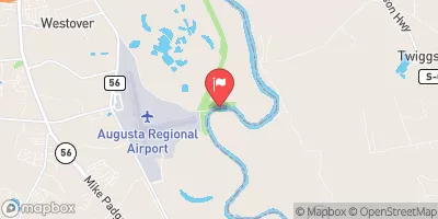
 Butler Creek Reservoir At Fort Gordon
-
 Savannah Rv Above New Savannah Bluff Lock & Dam