


Mashburn Dam Reservoir Report
Last Updated: April 23, 2026
Nearby: Stackhouse Dam Upper Stackhouse Dam
°F
°F
mph
Wind
%
Humidity
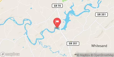
Mashburn Dam in Stackhouse, North Carolina, is a private-owned earth dam located on King Creek.
Summary
The dam, with a hydraulic height of 27.5 feet and a structural height of 32 feet, primarily serves recreational purposes. With a normal storage capacity of 26 acre-feet and a total surface area of 2.4 acres, Mashburn Dam is a popular spot for outdoor enthusiasts looking to enjoy water-based activities.
Despite its low hazard potential, Mashburn Dam is in poor condition according to a 2013 assessment. The dam has not undergone any significant modifications since its construction, and its last inspection took place in January 2013. The dam's emergency action plan status and risk assessment measures are currently unknown, highlighting potential areas for improvement in the overall safety and management of the structure.
Located in Madison County, North Carolina, Mashburn Dam falls under the regulatory jurisdiction of the North Carolina Department of Environmental Quality's Dam Safety Program. With a history dating back to an unknown completion date, the dam presents an opportunity for further evaluation and potential enhancements to ensure its long-term sustainability and safety for both the surrounding community and the environment.
Regional Streamflow Levels


15-Day Long Term Forecast
Dam Length |
250 |
River Or Stream |
King Creek |
Primary Dam Type |
Earth |
Surface Area |
2.4 |
Hydraulic Height |
27.5 |
Nid Storage |
31 |
Structural Height |
32 |
Hazard Potential |
Low |
Nid Height |
32 |
Seasonal Comparison
5-Day Hourly Forecast Detail
Dam Data Reference
Condition Assessment
SatisfactoryNo existing or potential dam safety deficiencies are recognized. Acceptable performance is expected under all loading conditions (static, hydrologic, seismic) in accordance with the minimum applicable state or federal regulatory criteria or tolerable risk guidelines.
Fair
No existing dam safety deficiencies are recognized for normal operating conditions. Rare or extreme hydrologic and/or seismic events may result in a dam safety deficiency. Risk may be in the range to take further action. Note: Rare or extreme event is defined by the regulatory agency based on their minimum
Poor A dam safety deficiency is recognized for normal operating conditions which may realistically occur. Remedial action is necessary. POOR may also be used when uncertainties exist as to critical analysis parameters which identify a potential dam safety deficiency. Investigations and studies are necessary.
Unsatisfactory
A dam safety deficiency is recognized that requires immediate or emergency remedial action for problem resolution.
Not Rated
The dam has not been inspected, is not under state or federal jurisdiction, or has been inspected but, for whatever reason, has not been rated.
Not Available
Dams for which the condition assessment is restricted to approved government users.
Hazard Potential Classification
HighDams assigned the high hazard potential classification are those where failure or mis-operation will probably cause loss of human life.
Significant
Dams assigned the significant hazard potential classification are those dams where failure or mis-operation results in no probable loss of human life but can cause economic loss, environment damage, disruption of lifeline facilities, or impact other concerns. Significant hazard potential classification dams are often located in predominantly rural or agricultural areas but could be in areas with population and significant infrastructure.
Low
Dams assigned the low hazard potential classification are those where failure or mis-operation results in no probable loss of human life and low economic and/or environmental losses. Losses are principally limited to the owner's property.
Undetermined
Dams for which a downstream hazard potential has not been designated or is not provided.
Not Available
Dams for which the downstream hazard potential is restricted to approved government users.
Area Campgrounds
| Location | Reservations | Toilets |
|---|---|---|
 Big Pine Campsite
|
||
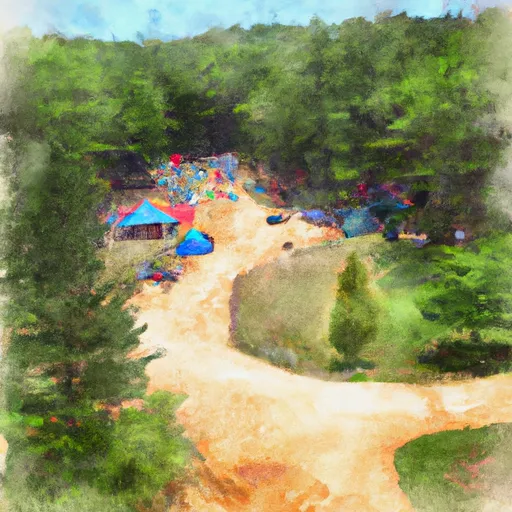 Silvermine Group Campground
|
||
 Evan's Island Campsite
|
||
 Rocky Bluff
|
||
 Rocky Bluff Campground
|
||
 Courtland Place
|
 Anderson Branch
 Bailey Branch
 Moses Turn
 Dillard Place
 Allen Branch Pond