


Wilderness Creek Falls Dam Upper Reservoir Report
Last Updated: April 14, 2026
°F
°F
mph
Wind
%
Humidity
Wilderness Creek Falls Dam Upper, located in Cherokee, North Carolina, was completed in 2004 with a primary purpose of serving as a Fish and Wildlife Pond.
Summary
The earth dam stands at a structural height of 30 feet and has a storage capacity of 18 acre-feet. Situated on a tributary to Wolf Creek, the dam covers a surface area of 1.5 acres and has a drainage area of 65 square miles.
Despite being privately owned, the dam is inspected by the state of North Carolina and has been assessed to be in fair condition with a low hazard potential. The last inspection was conducted in December 2012, and the dam has since met the required safety guidelines. With its focus on fish and wildlife preservation, Wilderness Creek Falls Dam Upper serves as a valuable resource for the local ecosystem and contributes to the conservation efforts in the area.
Regional Streamflow Levels
 Ocoee River At Copperhill
|
297cfs |
 Toccoa River Near Dial
|
294cfs |
 Valley River At Tomotla
|
147cfs |
 Tellico River At Tellico Plains
|
128cfs |
 Nottely River Near Blairsville
|
85cfs |
 Cartecay River Near Ellijay
|
181cfs |
15-Day Long Term Forecast
Year Completed |
2004 |
River Or Stream |
Trib to Wolf Creek |
Primary Dam Type |
Earth |
Surface Area |
1.5 |
Drainage Area |
65 |
Nid Storage |
18 |
Structural Height |
30 |
Hazard Potential |
Low |
Nid Height |
30 |
Seasonal Comparison
5-Day Hourly Forecast Detail
Dam Data Reference
Condition Assessment
SatisfactoryNo existing or potential dam safety deficiencies are recognized. Acceptable performance is expected under all loading conditions (static, hydrologic, seismic) in accordance with the minimum applicable state or federal regulatory criteria or tolerable risk guidelines.
Fair
No existing dam safety deficiencies are recognized for normal operating conditions. Rare or extreme hydrologic and/or seismic events may result in a dam safety deficiency. Risk may be in the range to take further action. Note: Rare or extreme event is defined by the regulatory agency based on their minimum
Poor A dam safety deficiency is recognized for normal operating conditions which may realistically occur. Remedial action is necessary. POOR may also be used when uncertainties exist as to critical analysis parameters which identify a potential dam safety deficiency. Investigations and studies are necessary.
Unsatisfactory
A dam safety deficiency is recognized that requires immediate or emergency remedial action for problem resolution.
Not Rated
The dam has not been inspected, is not under state or federal jurisdiction, or has been inspected but, for whatever reason, has not been rated.
Not Available
Dams for which the condition assessment is restricted to approved government users.
Hazard Potential Classification
HighDams assigned the high hazard potential classification are those where failure or mis-operation will probably cause loss of human life.
Significant
Dams assigned the significant hazard potential classification are those dams where failure or mis-operation results in no probable loss of human life but can cause economic loss, environment damage, disruption of lifeline facilities, or impact other concerns. Significant hazard potential classification dams are often located in predominantly rural or agricultural areas but could be in areas with population and significant infrastructure.
Low
Dams assigned the low hazard potential classification are those where failure or mis-operation results in no probable loss of human life and low economic and/or environmental losses. Losses are principally limited to the owner's property.
Undetermined
Dams for which a downstream hazard potential has not been designated or is not provided.
Not Available
Dams for which the downstream hazard potential is restricted to approved government users.
Area Campgrounds
| Location | Reservations | Toilets |
|---|---|---|
 Tumbling Creek Campground
|
||
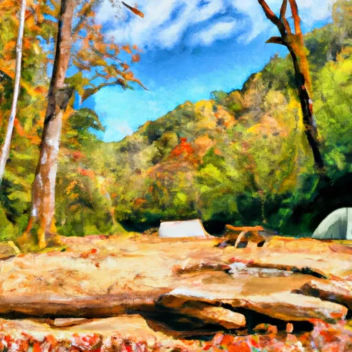 Tumbling Creek
|
||
 Thunder Rock
|
||
 Thunder Rock Campground
|
||
 Morganton Point Campground
|
||
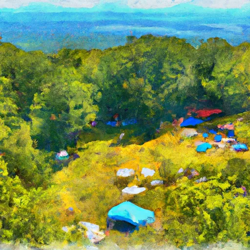 Morganton Point
|
 Toccoa Avenue 104, McCaysville