Aquilla Lk Abv Aquilla Reservoir Report
Nearby: Stribling Gss No 2 Kennedy Gss
Last Updated: February 4, 2026
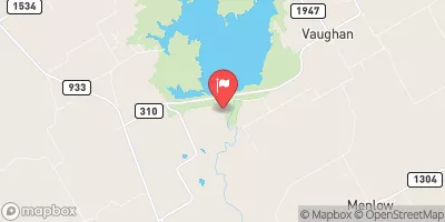
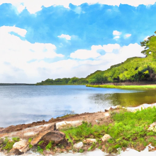
Aquilla Lake is a reservoir located in Hill County, Texas.
°F
°F
mph
Wind
%
Humidity
15-Day Weather Outlook
Summary
The lake was created in 1983 by damming Aquilla Creek, a tributary of the Brazos River. The purpose of the dam was to control flooding, provide irrigation water, and generate hydroelectric power. The lake has a surface area of 3,400 acres and a storage capacity of 82,900 acre-feet. The hydrology of the lake is influenced by several small streams and the Brazos River, which flows into the Gulf of Mexico. The lake provides surface water for agricultural irrigation and municipal water supply. It also supports recreational activities such as boating, fishing, and camping. The snowpack providers for the region are limited, as the area experiences mild winter weather with occasional snow and ice storms.
Reservoir Details
| Lake Or Reservoir Water Surface Elevation Above Ngvd 1929, Ft 24hr Change | 0.0% |
| Percent of Normal | 100% |
| Minimum |
530.32 ft
2013-09-19 |
| Maximum |
550.59 ft
2018-10-21 |
| Average | 536 ft |
| Dam_Height | 104 |
| Hydraulic_Height | 100 |
| Drainage_Area | 252 |
| Year_Completed | 1983 |
| Nid_Storage | 420840 |
| Structural_Height | 104 |
| Foundations | Rock, Soil |
| Surface_Area | 3280 |
| Hazard_Potential | High |
| Outlet_Gates | Uncontrolled - 0 |
| River_Or_Stream | AQUILLA CREEK |
| Dam_Length | 11800 |
| Primary_Dam_Type | Earth |
| Nid_Height | 104 |
Seasonal Comparison
Wind Direction, Degrees Clockwise From North Levels
Precipitation, Total, In Levels
Lake Or Reservoir Water Surface Elevation Above Ngvd 1929, Ft Levels
Hourly Weather Forecast
Nearby Streamflow Levels
 Aquilla Ck Abv Aquilla
|
0cfs |
 Brazos Rv Nr Aquilla
|
65cfs |
 Ash Ck At Hwy 171 Nr Malone
|
865cfs |
 White Rk Ck At Fm 308 Nr Irene
|
515cfs |
 Richland Ck At Hwy 22 Nr Mertens
|
934cfs |
 Nolan Rv At Blum
|
11cfs |
Dam Data Reference
Condition Assessment
SatisfactoryNo existing or potential dam safety deficiencies are recognized. Acceptable performance is expected under all loading conditions (static, hydrologic, seismic) in accordance with the minimum applicable state or federal regulatory criteria or tolerable risk guidelines.
Fair
No existing dam safety deficiencies are recognized for normal operating conditions. Rare or extreme hydrologic and/or seismic events may result in a dam safety deficiency. Risk may be in the range to take further action. Note: Rare or extreme event is defined by the regulatory agency based on their minimum
Poor A dam safety deficiency is recognized for normal operating conditions which may realistically occur. Remedial action is necessary. POOR may also be used when uncertainties exist as to critical analysis parameters which identify a potential dam safety deficiency. Investigations and studies are necessary.
Unsatisfactory
A dam safety deficiency is recognized that requires immediate or emergency remedial action for problem resolution.
Not Rated
The dam has not been inspected, is not under state or federal jurisdiction, or has been inspected but, for whatever reason, has not been rated.
Not Available
Dams for which the condition assessment is restricted to approved government users.
Hazard Potential Classification
HighDams assigned the high hazard potential classification are those where failure or mis-operation will probably cause loss of human life.
Significant
Dams assigned the significant hazard potential classification are those dams where failure or mis-operation results in no probable loss of human life but can cause economic loss, environment damage, disruption of lifeline facilities, or impact other concerns. Significant hazard potential classification dams are often located in predominantly rural or agricultural areas but could be in areas with population and significant infrastructure.
Low
Dams assigned the low hazard potential classification are those where failure or mis-operation results in no probable loss of human life and low economic and/or environmental losses. Losses are principally limited to the owner's property.
Undetermined
Dams for which a downstream hazard potential has not been designated or is not provided.
Not Available
Dams for which the downstream hazard potential is restricted to approved government users.

 Aquilla Dam
 Aquilla Lk Abv Aquilla
 Whitney Lk Nr Whitney
 Old School Public Boat Ramp - Aquila Lake