Barker Res Nr Addicks Reservoir Report
Nearby: Addicks Dam Old Second Lift Dam
Last Updated: February 13, 2026
Barker Reservoir, located in Addicks, Texas, was constructed in the 1940s by the US Army Corps of Engineers to control flooding in the Buffalo Bayou watershed.
Summary
The hydrology of the reservoir is mainly influenced by rainfall and the flow of water from upstream. The reservoir has a capacity of 205,000 acre-feet and covers an area of 26,000 acres. The surface flow of water in the reservoir is mainly provided by the Buffalo Bayou, which is a primary source of drinking water for the Houston metropolitan area. There is no snowpack in this region. The reservoir is primarily used for flood control, but it also serves as a source of irrigation for agricultural purposes and is a popular recreational area for fishing and boating.
°F
°F
mph
Wind
%
Humidity
15-Day Weather Outlook
Reservoir Details
| 24hr Change | None% |
| Percent of Normal | None% |
| Minimum |
0.01
2021-10-27 |
| Maximum |
0.27
2022-12-11 |
| Average | |
| Dam_Height | 36.5 |
| Hydraulic_Height | 33 |
| Drainage_Area | 130 |
| Year_Completed | 1945 |
| Nid_Storage | 209000 |
| Structural_Height | 36.5 |
| Foundations | Soil |
| Surface_Area | 1 |
| Hazard_Potential | High |
| Outlet_Gates | Slide (sluice gate) - 0 |
| River_Or_Stream | BUFFALO BAYOU |
| Dam_Length | 71900 |
| Primary_Dam_Type | Gravity |
| Nid_Height | 37 |
Seasonal Comparison
Precipitation, Total, In Levels
Reservoir Storage, Acre-Ft Levels
5-Day Hourly Forecast Detail
Nearby Streamflow Levels
Dam Data Reference
Condition Assessment
SatisfactoryNo existing or potential dam safety deficiencies are recognized. Acceptable performance is expected under all loading conditions (static, hydrologic, seismic) in accordance with the minimum applicable state or federal regulatory criteria or tolerable risk guidelines.
Fair
No existing dam safety deficiencies are recognized for normal operating conditions. Rare or extreme hydrologic and/or seismic events may result in a dam safety deficiency. Risk may be in the range to take further action. Note: Rare or extreme event is defined by the regulatory agency based on their minimum
Poor A dam safety deficiency is recognized for normal operating conditions which may realistically occur. Remedial action is necessary. POOR may also be used when uncertainties exist as to critical analysis parameters which identify a potential dam safety deficiency. Investigations and studies are necessary.
Unsatisfactory
A dam safety deficiency is recognized that requires immediate or emergency remedial action for problem resolution.
Not Rated
The dam has not been inspected, is not under state or federal jurisdiction, or has been inspected but, for whatever reason, has not been rated.
Not Available
Dams for which the condition assessment is restricted to approved government users.
Hazard Potential Classification
HighDams assigned the high hazard potential classification are those where failure or mis-operation will probably cause loss of human life.
Significant
Dams assigned the significant hazard potential classification are those dams where failure or mis-operation results in no probable loss of human life but can cause economic loss, environment damage, disruption of lifeline facilities, or impact other concerns. Significant hazard potential classification dams are often located in predominantly rural or agricultural areas but could be in areas with population and significant infrastructure.
Low
Dams assigned the low hazard potential classification are those where failure or mis-operation results in no probable loss of human life and low economic and/or environmental losses. Losses are principally limited to the owner's property.
Undetermined
Dams for which a downstream hazard potential has not been designated or is not provided.
Not Available
Dams for which the downstream hazard potential is restricted to approved government users.


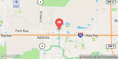

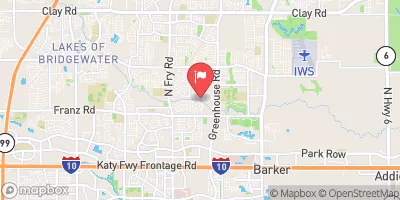
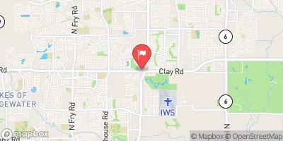
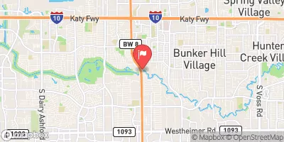
 Barker Dam
 Barker Res Nr Addicks
 Addicks Res Nr Addicks