Livingston Reservoir Near Goodrich Reservoir
As of July 27, 2026, Livingston Res Nr Goodrich is holding 1,600,000 ac-ft of water — 1217192% of normal storage for this date. Storage data refreshed throughout the day.

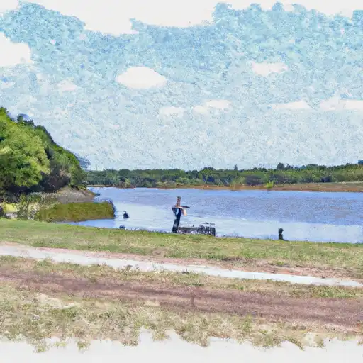
Livingston Res Nr Goodrich
Livingston Reservoir is a man-made lake located near Goodrich, Texas. It was constructed in the 1960s to provide a reliable water source for the city of Houston. The reservoir covers over 90,000 acres and has a capacity of 1.2 million acre-feet of water. The hydrology of the reservoir is mainly fed by the Trinity River, which provides a year-round flow of water. There are also several smaller streams and creeks that flow into the reservoir. The water in the reservoir is used primarily for municipal and industrial purposes, but it also provides water for irrigation and recreational activities. The surface flow of the reservoir is regulated by the Trinity River Authority, and the snowpack provider is the National Oceanic and Atmospheric Administration. The reservoir is a popular spot for boating, fishing, and camping, and it also supports a thriving agricultural industry in the surrounding area.
Daily levels at Livingston Res Nr Goodrich
Storage volume, pool elevation, and total release plotted from the operating agency's daily observations.
Reservoir storage, acre-ft
ac-ft · code 00054
Lake or reservoir water surface elevation above NGVD 1929, ft
ft · code 62614
Wind direction, degrees clockwise from north
Deg · code 00036
Wind speed, mph
mph · code 00035
Plan around the weather
Same NOAA / yr.no feed Snoflo's iOS app uses. Watch the precipitation column on the meteogram -- rain on the basin upstream typically lifts inflow 24-72 hours later.
Next 5 days, hour by hour
Temperature line with weather symbols on top, snow + rain accumulation as columns, humidity as a dotted line.
5-day forecast table
Every 3 hours, broken out across temperature, snow, rain, humidity, and wind. Each cell is colour-coded relative to the column min/max.
| Time | Condition | Temp (°F) | Snow (in) | Rain (in) | Humidity (%) | Wind (mps) | Wind dir |
|---|---|---|---|---|---|---|---|
| Loading detailed forecast… | |||||||
15-day temperature & precipitation
Daily temperatures, snow, and rain projected over the next two weeks.
Nearby streamflow gauges
USGS streamgauges around Livingston Res Nr Goodrich -- inflows here typically show up in storage 24-72 hours later.
| Streamgauge | Discharge | View |
|---|---|---|
| Trinity Rv Nr Goodrich | 1,880 cfs | → |
| Long King Ck At Livingston | 7 cfs | → |
| Trinity Rv At Romayor | 2,090 cfs | → |
| Menard Ck Nr Rye | 48 cfs | → |
| Kickapoo Ck At Onalaska | 1 cfs | → |
| E Fk San Jacinto Rv Nr Cleveland | 29 cfs | → |
Make a day of it
Boat launches, lakeside camping, fishing access, and other reservoirs near Livingston Res Nr Goodrich.
Boat launches
See all →


Campgrounds
See all →


Fishing spots
See all →


River runs
See all →


About Livingston Res Nr Goodrich
What is the water level at Livingston Reservoir Near Goodrich Reservoir right now?
As of July 27, 2026, Livingston Reservoir Near Goodrich Reservoir is holding 1,600,000 ac-ft, about 1217192% of normal for this date. Pool elevation and the year-over-year trend are shown above.
Is Livingston Reservoir Near Goodrich Reservoir high or low right now?
Compare the percent-of-normal figure on this page: above 100% means storage is higher than the historical average for the date (a wet year), below 100% means lower (a dry year or drought). The daily-levels chart shows the current trend.
Where does the data for Livingston Reservoir Near Goodrich come from?
Daily storage, pool elevation, and release rates are sourced from USGS, USBR, and USACE monitoring stations. Weather forecast comes from NOAA / yr.no -- the same feed Snoflo's iOS app uses.
How often is the report updated?
Storage observations are updated daily by the operating agency. The 15-day weather forecast refreshes throughout the day. Snoflo caches and renders the most recent observation -- check the "as of" timestamp on the storage card.
What does the Hazard hazard rating mean?
The Corps of Engineers' hazard potential classification grades probable consequences if the dam fails: High = probable loss of human life; Significant = no probable loss of human life but possible economic loss / environmental damage; Low = no probable loss of human life, only minor economic / environmental losses. See the Dam Data Reference card below for the full definitions.
What's "% of normal"?
The current storage value compared to the historical average storage on this calendar day. 100% = right on average; values above 100% mean above-normal storage (wet year); values below mean below-normal (dry year or drought).
Can I get alerts when storage crosses a threshold?
Yes -- alerts are managed in the Snoflo iOS app. Favorite this reservoir, set a threshold, and you'll get a push the moment conditions cross.