Lk Alan Henry Res Nr Justiceburg Reservoir
As of July 19, 2026, Lk Alan Henry Res Nr Justiceburg is holding 2,211 ft of water — 100% of normal storage for this date. Storage data refreshed throughout the day.

Lk Alan Henry Res Nr Justiceburg
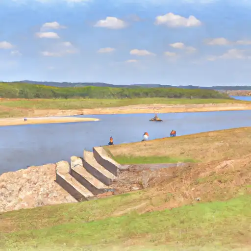
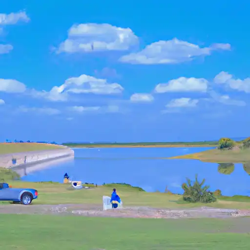
Lake Alan Henry Reservoir is a popular recreational destination located in Justiceburg, Texas. The reservoir, which was completed in 1993, was created by damming the Double Mountain Fork of the Brazos River. The lake is named after Alan Henry, a water district board member who played a key role in the reservoir’s construction. The hydrology of the lake is primarily supplied by rainfall and surface water runoff, and the area receives an annual average of 22 inches of precipitation. The reservoir provides water to the city of Lubbock and surrounding communities, and is also a popular spot for fishing, boating, and camping. The lake’s watershed includes several creeks and tributaries, and the area is known for its diverse wildlife and natural beauty.
Daily levels at Lk Alan Henry Res Nr Justiceburg
Storage volume, pool elevation, and total release plotted from the operating agency's daily observations.
Lake or reservoir water surface elevation above NGVD 1929, ft
ft · code 62614
Precipitation, total, in
in · code 00045
Plan around the weather
Same NOAA / yr.no feed Snoflo's iOS app uses. Watch the precipitation column on the meteogram -- rain on the basin upstream typically lifts inflow 24-72 hours later.
Next 5 days, hour by hour
Temperature line with weather symbols on top, snow + rain accumulation as columns, humidity as a dotted line.
5-day forecast table
Every 3 hours, broken out across temperature, snow, rain, humidity, and wind. Each cell is colour-coded relative to the column min/max.
| Time | Condition | Temp (°F) | Snow (in) | Rain (in) | Humidity (%) | Wind (mps) | Wind dir |
|---|---|---|---|---|---|---|---|
| Loading detailed forecast… | |||||||
15-day temperature & precipitation
Daily temperatures, snow, and rain projected over the next two weeks.
Nearby streamflow gauges
USGS streamgauges around Lk Alan Henry Res Nr Justiceburg -- inflows here typically show up in storage 24-72 hours later.
| Streamgauge | Discharge | View |
|---|---|---|
| Dmf Brazos Rv At Justiceburg | 1 cfs | → |
| Colorado Rv Nr Gail | 137 cfs | → |
| Deep Ck Nr Dunn | 7 cfs | → |
| Clear Fk Brazos Rv Nr Roby | 1 cfs | → |
| Colorado Rv At Colorado City | 220 cfs | → |
| Dmf Brazos Rv Nr Aspermont | 90 cfs | → |


About Lk Alan Henry Res Nr Justiceburg
Where does the data for Lk Alan Henry Res Nr Justiceburg come from?
Daily storage, pool elevation, and release rates are sourced from USGS, USBR, and USACE monitoring stations. Weather forecast comes from NOAA / yr.no -- the same feed Snoflo's iOS app uses.
How often is the report updated?
Storage observations are updated daily by the operating agency. The 15-day weather forecast refreshes throughout the day. Snoflo caches and renders the most recent observation -- check the "as of" timestamp on the storage card.
What does the Hazard hazard rating mean?
The Corps of Engineers' hazard potential classification grades probable consequences if the dam fails: High = probable loss of human life; Significant = no probable loss of human life but possible economic loss / environmental damage; Low = no probable loss of human life, only minor economic / environmental losses. See the Dam Data Reference card below for the full definitions.
What's "% of normal"?
The current storage value compared to the historical average storage on this calendar day. 100% = right on average; values above 100% mean above-normal storage (wet year); values below mean below-normal (dry year or drought).
Can I get alerts when storage crosses a threshold?
Yes -- alerts are managed in the Snoflo iOS app. Favorite this reservoir, set a threshold, and you'll get a push the moment conditions cross.