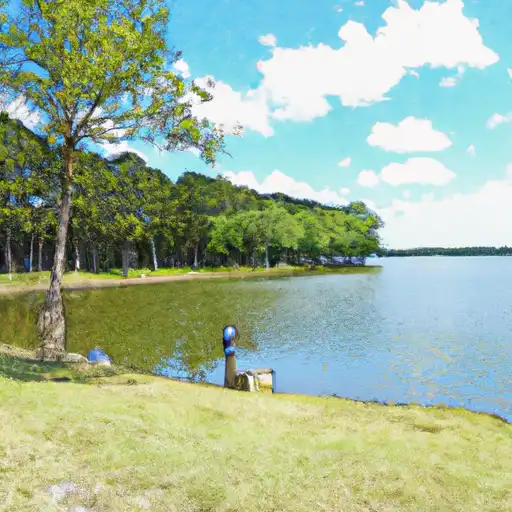
Lk Limestone Nr Marquez Reservoir
As of July 17, 2026, Lk Limestone Nr Marquez is holding 363 ft of water — 100% of normal storage for this date. Storage data refreshed throughout the day.

Lk Limestone Nr Marquez
LK Limestone near Marquez, TX is historically significant as it was once owned by Texas governor Bill Clements. The limestone quarry is a major hydrological feature of the area and is fed by several small creeks and springs. The surface flows in the area are primarily regulated by the Navasota River, which is a vital source of water for the surrounding agricultural lands. Snowpack providers in the area include the occasional winter storm, which can result in snow and ice accumulation on the ground. The quarry is used for limestone extraction and is an important resource for construction and road-building industries in the region. There are no recreational activities available at the quarry.
Daily levels at Lk Limestone Nr Marquez
Storage volume, pool elevation, and total release plotted from the operating agency's daily observations.
Lake or reservoir water surface elevation above NGVD 1929, ft
ft · code 62614
Precipitation, total, in
in · code 00045
Plan around the weather
Same NOAA / yr.no feed Snoflo's iOS app uses. Watch the precipitation column on the meteogram -- rain on the basin upstream typically lifts inflow 24-72 hours later.
Next 5 days, hour by hour
Temperature line with weather symbols on top, snow + rain accumulation as columns, humidity as a dotted line.
5-day forecast table
Every 3 hours, broken out across temperature, snow, rain, humidity, and wind. Each cell is colour-coded relative to the column min/max.
| Time | Condition | Temp (°F) | Snow (in) | Rain (in) | Humidity (%) | Wind (mps) | Wind dir |
|---|---|---|---|---|---|---|---|
| Loading detailed forecast… | |||||||
15-day temperature & precipitation
Daily temperatures, snow, and rain projected over the next two weeks.
Nearby streamflow gauges
USGS streamgauges around Lk Limestone Nr Marquez -- inflows here typically show up in storage 24-72 hours later.
| Streamgauge | Discharge | View |
|---|---|---|
| Navasota Rv Nr Easterly | 55 cfs | → |
| Big Ck Nr Freestone | 30 cfs | → |
| Navasota Rv Abv Groesbeck | 0 cfs | → |
| Navasota Rv At Old Spanish Rd Nr Bryan | 87 cfs | → |
| Upper Keechi Ck Nr Oakwood | 70 cfs | → |
| Brazos Rv Nr Highbank | 838 cfs | → |


About Lk Limestone Nr Marquez
Where does the data for Lk Limestone Nr Marquez come from?
Daily storage, pool elevation, and release rates are sourced from USGS, USBR, and USACE monitoring stations. Weather forecast comes from NOAA / yr.no -- the same feed Snoflo's iOS app uses.
How often is the report updated?
Storage observations are updated daily by the operating agency. The 15-day weather forecast refreshes throughout the day. Snoflo caches and renders the most recent observation -- check the "as of" timestamp on the storage card.
What does the Hazard hazard rating mean?
The Corps of Engineers' hazard potential classification grades probable consequences if the dam fails: High = probable loss of human life; Significant = no probable loss of human life but possible economic loss / environmental damage; Low = no probable loss of human life, only minor economic / environmental losses. See the Dam Data Reference card below for the full definitions.
What's "% of normal"?
The current storage value compared to the historical average storage on this calendar day. 100% = right on average; values above 100% mean above-normal storage (wet year); values below mean below-normal (dry year or drought).
Can I get alerts when storage crosses a threshold?
Yes -- alerts are managed in the Snoflo iOS app. Favorite this reservoir, set a threshold, and you'll get a push the moment conditions cross.