Lk Meredith Nr Sanford Reservoir Report
Last Updated: February 13, 2026
LK Meredith Reservoir, located in Sanford, Texas, was constructed in 1965 and named after the late L.K.
Summary
Meredith, a prominent businessman and rancher in the region. The reservoir has a capacity of 1.2 billion gallons and is used for various purposes, including flood control, municipal water supply, and recreation. The surface flow into the reservoir is primarily from the Canadian River, which is fed by snowmelt from the Rocky Mountains. The reservoir also receives some water from local streams and creeks. The primary recreational uses of the reservoir include fishing, boating, and camping. Additionally, the reservoir supports a significant agricultural industry in the surrounding area, particularly for cotton and wheat crops.
°F
°F
mph
Wind
%
Humidity
15-Day Weather Outlook
Reservoir Details
| Lake Or Reservoir Water Surface Elevation Above Ngvd 1929, Ft 24hr Change | 0.0% |
| Percent of Normal | 100% |
| Minimum |
2,839.15 ft
2013-08-07 |
| Maximum |
2,893.53 ft
2025-09-23 |
| Average | 2,871 ft |
| Dam_Height | 228 |
| Hydraulic_Height | 192 |
| Drainage_Area | 20220 |
| Year_Completed | 1965 |
| Nid_Storage | 2385983 |
| Structural_Height | 228 |
| Foundations | Rock, Soil |
| Surface_Area | 16513 |
| Hazard_Potential | High |
| Outlet_Gates | None, Other Controlled - 5, Valve - 2 |
| River_Or_Stream | CANADIAN RIVER |
| Dam_Length | 6380 |
| Primary_Dam_Type | Earth |
| Nid_Height | 228 |
Seasonal Comparison
Lake Or Reservoir Water Surface Elevation Above Ngvd 1929, Ft Levels
5-Day Hourly Forecast Detail
Nearby Streamflow Levels
 Big Blue Ck Nr Fritch
|
3cfs |
 Canadian Rv Nr Amarillo
|
23cfs |
 Palo Duro Ck Nr Spearman
|
0cfs |
 Pr Dog Twn Fk Red Rv Nr Wayside
|
10cfs |
Dam Data Reference
Condition Assessment
SatisfactoryNo existing or potential dam safety deficiencies are recognized. Acceptable performance is expected under all loading conditions (static, hydrologic, seismic) in accordance with the minimum applicable state or federal regulatory criteria or tolerable risk guidelines.
Fair
No existing dam safety deficiencies are recognized for normal operating conditions. Rare or extreme hydrologic and/or seismic events may result in a dam safety deficiency. Risk may be in the range to take further action. Note: Rare or extreme event is defined by the regulatory agency based on their minimum
Poor A dam safety deficiency is recognized for normal operating conditions which may realistically occur. Remedial action is necessary. POOR may also be used when uncertainties exist as to critical analysis parameters which identify a potential dam safety deficiency. Investigations and studies are necessary.
Unsatisfactory
A dam safety deficiency is recognized that requires immediate or emergency remedial action for problem resolution.
Not Rated
The dam has not been inspected, is not under state or federal jurisdiction, or has been inspected but, for whatever reason, has not been rated.
Not Available
Dams for which the condition assessment is restricted to approved government users.
Hazard Potential Classification
HighDams assigned the high hazard potential classification are those where failure or mis-operation will probably cause loss of human life.
Significant
Dams assigned the significant hazard potential classification are those dams where failure or mis-operation results in no probable loss of human life but can cause economic loss, environment damage, disruption of lifeline facilities, or impact other concerns. Significant hazard potential classification dams are often located in predominantly rural or agricultural areas but could be in areas with population and significant infrastructure.
Low
Dams assigned the low hazard potential classification are those where failure or mis-operation results in no probable loss of human life and low economic and/or environmental losses. Losses are principally limited to the owner's property.
Undetermined
Dams for which a downstream hazard potential has not been designated or is not provided.
Not Available
Dams for which the downstream hazard potential is restricted to approved government users.
Area Campgrounds
| Location | Reservations | Toilets |
|---|---|---|
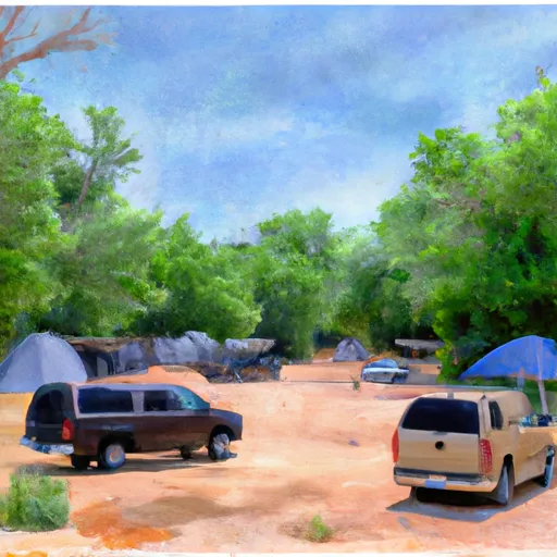 Sanford-Yake Campground
|
||
 Bugbee
|
||
 Fritch Fortress Campground
|
||
 Blue West Campground
|
||
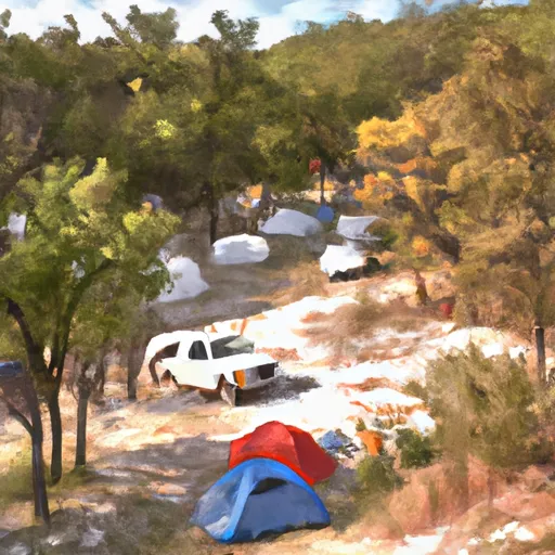 Chimney Hollow Campground
|
||
 Harbor Bay Campground
|

 Sanford
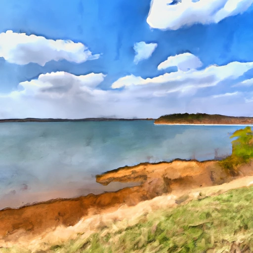 Lk Meredith Nr Sanford