Lk Mineral Wells Nr Mineral Wells Reservoir
As of July 20, 2026, Lk Mineral Wells Nr Mineral Wells is holding 863 ft of water — 100% of normal storage for this date. Storage data refreshed throughout the day.

Lk Mineral Wells Nr Mineral Wells
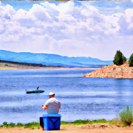
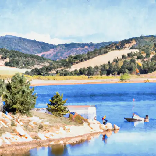
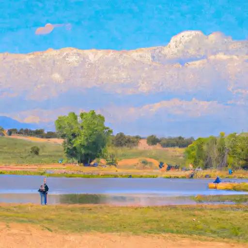
LK Mineral Wells NR Mineral Wells, TX is a reservoir located in Palo Pinto County, Texas. The reservoir was created in 1931 by damming the Brazos River. The reservoir's primary purpose is to provide water for municipal, industrial, and agricultural uses. The lake has a surface area of 1,540 acres and a capacity of 34,024 acre-feet. The hydrology of the LK Mineral Wells NR Mineral Wells, TX is influenced by the Brazos River, which provides the majority of the lake's inflow. The lake has several surface flow providers, including the Brazos River Authority and the Texas Water Development Board. The lake also receives water from snowpack runoff during the winter months. The reservoir is popular for boating, fishing, and swimming, with several parks and boat ramps located along its shoreline. Agricultural uses include irrigation for crops, while recreational uses include hunting and birdwatching.
Daily levels at Lk Mineral Wells Nr Mineral Wells
Storage volume, pool elevation, and total release plotted from the operating agency's daily observations.
Lake or reservoir water surface elevation above NGVD 1929, ft
ft · code 62614
Plan around the weather
Same NOAA / yr.no feed Snoflo's iOS app uses. Watch the precipitation column on the meteogram -- rain on the basin upstream typically lifts inflow 24-72 hours later.
Next 5 days, hour by hour
Temperature line with weather symbols on top, snow + rain accumulation as columns, humidity as a dotted line.
5-day forecast table
Every 3 hours, broken out across temperature, snow, rain, humidity, and wind. Each cell is colour-coded relative to the column min/max.
| Time | Condition | Temp (°F) | Snow (in) | Rain (in) | Humidity (%) | Wind (mps) | Wind dir |
|---|---|---|---|---|---|---|---|
| Loading detailed forecast… | |||||||
15-day temperature & precipitation
Daily temperatures, snow, and rain projected over the next two weeks.
Nearby streamflow gauges
USGS streamgauges around Lk Mineral Wells Nr Mineral Wells -- inflows here typically show up in storage 24-72 hours later.
| Streamgauge | Discharge | View |
|---|---|---|
| Cottonwood Creek At Woodmen Rd Nr Colo Springs | 2 cfs | → |
| Cottonwood Ck At Union Blvd | 2 cfs | → |
| Pine Creek Abv Briargate Pkwy | 3 cfs | → |
| Jimmy Camp Creek At Fountain | 0 cfs | → |
| Fountain Creek At Security | 89 cfs | → |
| Cottonwood Creek At Mouth | 2 cfs | → |


About Lk Mineral Wells Nr Mineral Wells
Where does the data for Lk Mineral Wells Nr Mineral Wells come from?
Daily storage, pool elevation, and release rates are sourced from USGS, USBR, and USACE monitoring stations. Weather forecast comes from NOAA / yr.no -- the same feed Snoflo's iOS app uses.
How often is the report updated?
Storage observations are updated daily by the operating agency. The 15-day weather forecast refreshes throughout the day. Snoflo caches and renders the most recent observation -- check the "as of" timestamp on the storage card.
What does the Hazard hazard rating mean?
The Corps of Engineers' hazard potential classification grades probable consequences if the dam fails: High = probable loss of human life; Significant = no probable loss of human life but possible economic loss / environmental damage; Low = no probable loss of human life, only minor economic / environmental losses. See the Dam Data Reference card below for the full definitions.
What's "% of normal"?
The current storage value compared to the historical average storage on this calendar day. 100% = right on average; values above 100% mean above-normal storage (wet year); values below mean below-normal (dry year or drought).
Can I get alerts when storage crosses a threshold?
Yes -- alerts are managed in the Snoflo iOS app. Favorite this reservoir, set a threshold, and you'll get a push the moment conditions cross.