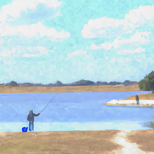
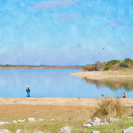
Lk Stamford Nr Haskell Reservoir
As of July 18, 2026, Lk Stamford Nr Haskell is holding 1,414 ft of water — 100% of normal storage for this date. Storage data refreshed throughout the day.

Lk Stamford Nr Haskell
Lake Stamford is a reservoir located in Haskell County, Texas, and was created by the Stamford Dam in the 1950s. The lake is fed by the Double Mountain Fork of the Brazos River, which provides a significant portion of its water supply. In addition to the river, the lake is also sustained by various surface runoff and snowpack providers, including rainfall and melting snow. Agriculture is a key industry in the surrounding area, with crops such as cotton, wheat, and sorghum being grown. The lake is also popular for recreational activities, including fishing, boating, and camping. However, in recent years, the lake has experienced periods of low water levels due to drought conditions. Efforts have been made to manage water use and conserve the lake's water supply.
Daily levels at Lk Stamford Nr Haskell
Storage volume, pool elevation, and total release plotted from the operating agency's daily observations.
Lake or reservoir water surface elevation above NGVD 1929, ft
ft · code 62614
Plan around the weather
Same NOAA / yr.no feed Snoflo's iOS app uses. Watch the precipitation column on the meteogram -- rain on the basin upstream typically lifts inflow 24-72 hours later.
Next 5 days, hour by hour
Temperature line with weather symbols on top, snow + rain accumulation as columns, humidity as a dotted line.
5-day forecast table
Every 3 hours, broken out across temperature, snow, rain, humidity, and wind. Each cell is colour-coded relative to the column min/max.
| Time | Condition | Temp (°F) | Snow (in) | Rain (in) | Humidity (%) | Wind (mps) | Wind dir |
|---|---|---|---|---|---|---|---|
| Loading detailed forecast… | |||||||
15-day temperature & precipitation
Daily temperatures, snow, and rain projected over the next two weeks.
Nearby streamflow gauges
USGS streamgauges around Lk Stamford Nr Haskell -- inflows here typically show up in storage 24-72 hours later.
| Streamgauge | Discharge | View |
|---|---|---|
| California Ck Nr Stamford | 0 cfs | → |
| Clear Fk Brazos Rv At Lueders | 19 cfs | → |
| Millers Ck Nr Munday | 495 cfs | → |
| Clear Fk Brazos Rv At Ft Griffin | 28 cfs | → |
| Dmf Brazos Rv Nr Rule | 2 cfs | → |
| Clear Fk Brazos Rv At Nugent | 0 cfs | → |


About Lk Stamford Nr Haskell
Where does the data for Lk Stamford Nr Haskell come from?
Daily storage, pool elevation, and release rates are sourced from USGS, USBR, and USACE monitoring stations. Weather forecast comes from NOAA / yr.no -- the same feed Snoflo's iOS app uses.
How often is the report updated?
Storage observations are updated daily by the operating agency. The 15-day weather forecast refreshes throughout the day. Snoflo caches and renders the most recent observation -- check the "as of" timestamp on the storage card.
What does the Hazard hazard rating mean?
The Corps of Engineers' hazard potential classification grades probable consequences if the dam fails: High = probable loss of human life; Significant = no probable loss of human life but possible economic loss / environmental damage; Low = no probable loss of human life, only minor economic / environmental losses. See the Dam Data Reference card below for the full definitions.
What's "% of normal"?
The current storage value compared to the historical average storage on this calendar day. 100% = right on average; values above 100% mean above-normal storage (wet year); values below mean below-normal (dry year or drought).
Can I get alerts when storage crosses a threshold?
Yes -- alerts are managed in the Snoflo iOS app. Favorite this reservoir, set a threshold, and you'll get a push the moment conditions cross.