Lk Travis Nr Austin Reservoir
As of July 20, 2026, Lk Travis Nr Austin is holding 684 ft of water — 105% of normal storage for this date. Storage data refreshed throughout the day.

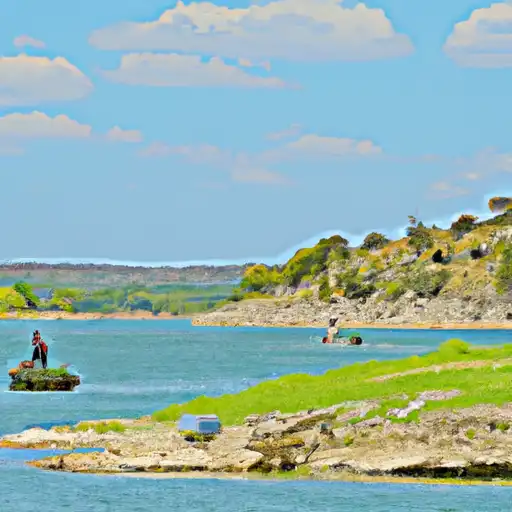
Lk Travis Nr Austin
Lake Travis is a large reservoir located northwest of Austin, TX, Texas, spanning over 30 miles in length and 4.5 miles in width. The lake was formed in 1942 following the construction of the Mansfield Dam on the Colorado River. As a result, the lake has become a popular destination for boating, fishing, swimming, and other water-based recreational activities.
The hydrology of Lake Travis is heavily influenced by rainfall in the region, which feeds into the Colorado River and ultimately the lake. Snowpack from the nearby Rocky Mountains also contributes to surface flow in the lake.
Agriculture is an important use of the surrounding land, with many ranches and farms producing crops such as corn, hay, and cotton. The lake also serves as a source of drinking water for nearby communities. In recent years, the lake has experienced periods of drought and low water levels due to decreased rainfall in the region.
Daily levels at Lk Travis Nr Austin
Storage volume, pool elevation, and total release plotted from the operating agency's daily observations.
Elevation of reservoir water surface above datum, ft
ft · code 00062
Lake or reservoir water surface elevation above NAVD 1988, ft
ft · code 62615
Lake or reservoir water surface elevation above NGVD 1929, ft
ft · code 62614
Plan around the weather
Same NOAA / yr.no feed Snoflo's iOS app uses. Watch the precipitation column on the meteogram -- rain on the basin upstream typically lifts inflow 24-72 hours later.
Next 5 days, hour by hour
Temperature line with weather symbols on top, snow + rain accumulation as columns, humidity as a dotted line.
5-day forecast table
Every 3 hours, broken out across temperature, snow, rain, humidity, and wind. Each cell is colour-coded relative to the column min/max.
| Time | Condition | Temp (°F) | Snow (in) | Rain (in) | Humidity (%) | Wind (mps) | Wind dir |
|---|---|---|---|---|---|---|---|
| Loading detailed forecast… | |||||||
15-day temperature & precipitation
Daily temperatures, snow, and rain projected over the next two weeks.
Nearby streamflow gauges
USGS streamgauges around Lk Travis Nr Austin -- inflows here typically show up in storage 24-72 hours later.
| Streamgauge | Discharge | View |
|---|---|---|
| Barton Ck At Sh 71 Nr Oak Hill | 8 cfs | → |
| Bull Ck At Loop 360 Nr Austin | 3 cfs | → |
| Lake Ck At Lake Ck Pkwy Nr Austin | 1 cfs | → |
| Barton Ck At Lost Ck Blvd Nr Austin | 13 cfs | → |
| Shoal Ck At Silverway Dr | · | → |
| Williamson Ck At Oak Hill | · | → |


About Lk Travis Nr Austin
Where does the data for Lk Travis Nr Austin come from?
Daily storage, pool elevation, and release rates are sourced from USGS, USBR, and USACE monitoring stations. Weather forecast comes from NOAA / yr.no -- the same feed Snoflo's iOS app uses.
How often is the report updated?
Storage observations are updated daily by the operating agency. The 15-day weather forecast refreshes throughout the day. Snoflo caches and renders the most recent observation -- check the "as of" timestamp on the storage card.
What does the Hazard hazard rating mean?
The Corps of Engineers' hazard potential classification grades probable consequences if the dam fails: High = probable loss of human life; Significant = no probable loss of human life but possible economic loss / environmental damage; Low = no probable loss of human life, only minor economic / environmental losses. See the Dam Data Reference card below for the full definitions.
What's "% of normal"?
The current storage value compared to the historical average storage on this calendar day. 100% = right on average; values above 100% mean above-normal storage (wet year); values below mean below-normal (dry year or drought).
Can I get alerts when storage crosses a threshold?
Yes -- alerts are managed in the Snoflo iOS app. Favorite this reservoir, set a threshold, and you'll get a push the moment conditions cross.