
Deerfield No. 4 - Forebay Reservoir Report
Nearby: Deerfield No. 4 Deerfield No. 3
Last Updated: December 5, 2025
Deerfield No.
°F
°F
mph
Wind
%
Humidity
Summary
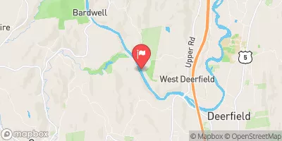
4 - Forebay is a private hydroelectric structure located in Shelburne Falls, Massachusetts, along the Deerfield River. Built in 1912, this earth dam stands at 20 feet tall and spans 630 feet in length, with a maximum storage capacity of 1067 acre-feet. The dam serves multiple purposes, including hydroelectric power generation and recreation, making it a vital resource for both energy production and outdoor activities in the area.
Managed by the Federal Energy Regulatory Commission, Deerfield No. 4 - Forebay has a low hazard potential and a high risk assessment rating of 2. Despite its age, the dam's condition assessment is not available, with the last inspection conducted in July 2018. The emergency action plan for the structure was last revised in December 2008, highlighting the need for regular monitoring and maintenance to ensure the safety and functionality of this important water resource infrastructure.
With its picturesque location and historical significance, Deerfield No. 4 - Forebay stands as a testament to the enduring relationship between water resources and climate in the region. As water enthusiasts and climate advocates continue to champion sustainable practices, the preservation and upkeep of structures like Deerfield No. 4 - Forebay play a crucial role in maintaining the balance between energy production, recreation, and environmental stewardship in the area.
Year Completed |
1912 |
Dam Length |
630 |
Dam Height |
20 |
River Or Stream |
Deerfield River |
Primary Dam Type |
Earth |
Surface Area |
75 |
Drainage Area |
404 |
Nid Storage |
1067 |
Hazard Potential |
Low |
Nid Height |
20 |
Seasonal Comparison
Weather Forecast
Nearby Streamflow Levels
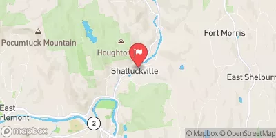 North River At Shattuckville
|
42cfs |
 South River Near Conway
|
13cfs |
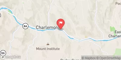 Deerfield River At Charlemont
|
761cfs |
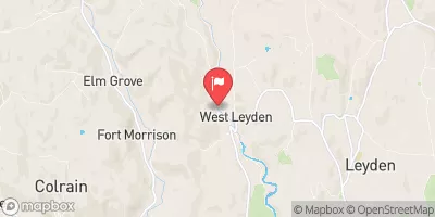 Green River Near Colrain
|
26cfs |
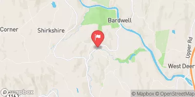
 Deerfield River Near West Deerfield
|
340cfs |
 Connecticut River At Montague City
|
4540cfs |
Dam Data Reference
Condition Assessment
SatisfactoryNo existing or potential dam safety deficiencies are recognized. Acceptable performance is expected under all loading conditions (static, hydrologic, seismic) in accordance with the minimum applicable state or federal regulatory criteria or tolerable risk guidelines.
Fair
No existing dam safety deficiencies are recognized for normal operating conditions. Rare or extreme hydrologic and/or seismic events may result in a dam safety deficiency. Risk may be in the range to take further action. Note: Rare or extreme event is defined by the regulatory agency based on their minimum
Poor A dam safety deficiency is recognized for normal operating conditions which may realistically occur. Remedial action is necessary. POOR may also be used when uncertainties exist as to critical analysis parameters which identify a potential dam safety deficiency. Investigations and studies are necessary.
Unsatisfactory
A dam safety deficiency is recognized that requires immediate or emergency remedial action for problem resolution.
Not Rated
The dam has not been inspected, is not under state or federal jurisdiction, or has been inspected but, for whatever reason, has not been rated.
Not Available
Dams for which the condition assessment is restricted to approved government users.
Hazard Potential Classification
HighDams assigned the high hazard potential classification are those where failure or mis-operation will probably cause loss of human life.
Significant
Dams assigned the significant hazard potential classification are those dams where failure or mis-operation results in no probable loss of human life but can cause economic loss, environment damage, disruption of lifeline facilities, or impact other concerns. Significant hazard potential classification dams are often located in predominantly rural or agricultural areas but could be in areas with population and significant infrastructure.
Low
Dams assigned the low hazard potential classification are those where failure or mis-operation results in no probable loss of human life and low economic and/or environmental losses. Losses are principally limited to the owner's property.
Undetermined
Dams for which a downstream hazard potential has not been designated or is not provided.
Not Available
Dams for which the downstream hazard potential is restricted to approved government users.
Area Campgrounds
| Location | Reservations | Toilets |
|---|---|---|
 Mohawk Trail State Forest
|
||
 Barton Cove
|
||
 DAR State Forest
|
 Deerfield No. 4 - Forebay
 Rocky Mountain Park
 Pelham Lake Park
 Green Mountain National Forest
 Conway State Forest