Mackenzie Res Nr Silverton Reservoir
As of July 21, 2026, Mackenzie Res Nr Silverton is holding 3,020 ft of water — 100% of normal storage for this date. Storage data refreshed throughout the day.

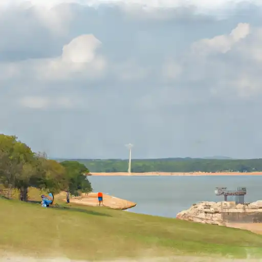
Mackenzie Res Nr Silverton
Mackenzie Res NR Silverton is a man-made reservoir located in Briscoe County, Texas. The reservoir was constructed in 1977 by the Canadian River Municipal Water Authority to provide water to the surrounding municipalities. The reservoir has a surface area of 5,675 acres and can hold up to 137,000 acre-feet of water.
The hydrology of the reservoir is primarily supplied by the Silverton Creek and Palo Duro Creek. The reservoir also receives water from the snowpack melt, which contributes to the surface flow. The main use of the reservoir is for municipal and industrial purposes, but it also provides water for agricultural activities such as irrigation.
Recreational activities are limited due to the reservoir's primary use for water supply. However, fishing is allowed in the reservoir, and it is stocked with various species of fish, including catfish and bass. The Mackenzie Reservoir also provides an opportunity for wildlife habitat and birdwatching.
Daily levels at Mackenzie Res Nr Silverton
Storage volume, pool elevation, and total release plotted from the operating agency's daily observations.
Lake or reservoir water surface elevation above NGVD 1929, ft
ft · code 62614
Precipitation, total, in
in · code 00045
Plan around the weather
Same NOAA / yr.no feed Snoflo's iOS app uses. Watch the precipitation column on the meteogram -- rain on the basin upstream typically lifts inflow 24-72 hours later.
Next 5 days, hour by hour
Temperature line with weather symbols on top, snow + rain accumulation as columns, humidity as a dotted line.
5-day forecast table
Every 3 hours, broken out across temperature, snow, rain, humidity, and wind. Each cell is colour-coded relative to the column min/max.
| Time | Condition | Temp (°F) | Snow (in) | Rain (in) | Humidity (%) | Wind (mps) | Wind dir |
|---|---|---|---|---|---|---|---|
| Loading detailed forecast… | |||||||
15-day temperature & precipitation
Daily temperatures, snow, and rain projected over the next two weeks.
Nearby streamflow gauges
USGS streamgauges around Mackenzie Res Nr Silverton -- inflows here typically show up in storage 24-72 hours later.
| Streamgauge | Discharge | View |
|---|---|---|
| Pr Dog Twn Fk Red Rv Nr Wayside | · | → |
| Pr Dog Twn Fk Red Rv Nr Brice | · | → |
| Running Water Draw At Plainview | · | → |
| Tierra Blanca Ck Abv Buffalo Lk Nr Umbarger | · | → |
| Lelia Lk Ck Bl Bell Ck Nr Hedley | 1 cfs | → |


About Mackenzie Res Nr Silverton
Where does the data for Mackenzie Res Nr Silverton come from?
Daily storage, pool elevation, and release rates are sourced from USGS, USBR, and USACE monitoring stations. Weather forecast comes from NOAA / yr.no -- the same feed Snoflo's iOS app uses.
How often is the report updated?
Storage observations are updated daily by the operating agency. The 15-day weather forecast refreshes throughout the day. Snoflo caches and renders the most recent observation -- check the "as of" timestamp on the storage card.
What does the Hazard hazard rating mean?
The Corps of Engineers' hazard potential classification grades probable consequences if the dam fails: High = probable loss of human life; Significant = no probable loss of human life but possible economic loss / environmental damage; Low = no probable loss of human life, only minor economic / environmental losses. See the Dam Data Reference card below for the full definitions.
What's "% of normal"?
The current storage value compared to the historical average storage on this calendar day. 100% = right on average; values above 100% mean above-normal storage (wet year); values below mean below-normal (dry year or drought).
Can I get alerts when storage crosses a threshold?
Yes -- alerts are managed in the Snoflo iOS app. Favorite this reservoir, set a threshold, and you'll get a push the moment conditions cross.