Medina Lk Nr San Antonio Reservoir
As of July 20, 2026, Medina Lk Nr San Antonio is holding 68,890 ac-ft of water — 6740% of normal storage for this date. Storage data refreshed throughout the day.

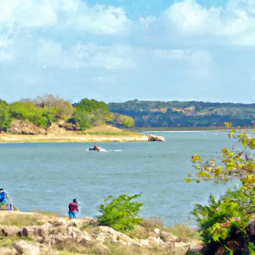
Medina Lk Nr San Antonio
Medina Lake, located near San Antonio, Texas, was created in the early 1900s as a result of the Medina Dam construction on the Medina River. The lake has a surface area of 5,575 acres and a capacity of 254,000 acre-feet. The primary source of water for the lake is the Medina River, with additional inflows from Parker Creek and Black Creek. The lake serves as a source of drinking water and irrigation for surrounding agricultural areas. The lake also provides recreational activities such as fishing, boating, and swimming. The lake's hydrology is affected by the area's frequent droughts and the amount of snowpack in the surrounding regions. During droughts, the lake's water levels can drop significantly, impacting its recreational and agricultural uses.
Daily levels at Medina Lk Nr San Antonio
Storage volume, pool elevation, and total release plotted from the operating agency's daily observations.
Reservoir storage, acre-ft
ac-ft · code 00054
Lake or reservoir water surface elevation above NGVD 1929, ft
ft · code 62614
Precipitation, total, in
in · code 00045
Plan around the weather
Same NOAA / yr.no feed Snoflo's iOS app uses. Watch the precipitation column on the meteogram -- rain on the basin upstream typically lifts inflow 24-72 hours later.
Next 5 days, hour by hour
Temperature line with weather symbols on top, snow + rain accumulation as columns, humidity as a dotted line.
5-day forecast table
Every 3 hours, broken out across temperature, snow, rain, humidity, and wind. Each cell is colour-coded relative to the column min/max.
| Time | Condition | Temp (°F) | Snow (in) | Rain (in) | Humidity (%) | Wind (mps) | Wind dir |
|---|---|---|---|---|---|---|---|
| Loading detailed forecast… | |||||||
15-day temperature & precipitation
Daily temperatures, snow, and rain projected over the next two weeks.
Nearby streamflow gauges
USGS streamgauges around Medina Lk Nr San Antonio -- inflows here typically show up in storage 24-72 hours later.
| Streamgauge | Discharge | View |
|---|---|---|
| San Geronimo Ck Nr Helotes | 110 cfs | → |
| Middle Verde Ck At Sh 173 Nr Bandera | 37 cfs | → |
| Helotes Ck At Helotes | · | → |
| Medina Rv At Bandera | 100 cfs | → |
| Hondo Ck At Sh 173 Nr Hondo | 9 cfs | → |
| Hondo Ck Nr Tarpley | 288 cfs | → |


About Medina Lk Nr San Antonio
Where does the data for Medina Lk Nr San Antonio come from?
Daily storage, pool elevation, and release rates are sourced from USGS, USBR, and USACE monitoring stations. Weather forecast comes from NOAA / yr.no -- the same feed Snoflo's iOS app uses.
How often is the report updated?
Storage observations are updated daily by the operating agency. The 15-day weather forecast refreshes throughout the day. Snoflo caches and renders the most recent observation -- check the "as of" timestamp on the storage card.
What does the Hazard hazard rating mean?
The Corps of Engineers' hazard potential classification grades probable consequences if the dam fails: High = probable loss of human life; Significant = no probable loss of human life but possible economic loss / environmental damage; Low = no probable loss of human life, only minor economic / environmental losses. See the Dam Data Reference card below for the full definitions.
What's "% of normal"?
The current storage value compared to the historical average storage on this calendar day. 100% = right on average; values above 100% mean above-normal storage (wet year); values below mean below-normal (dry year or drought).
Can I get alerts when storage crosses a threshold?
Yes -- alerts are managed in the Snoflo iOS app. Favorite this reservoir, set a threshold, and you'll get a push the moment conditions cross.