
Shupak #1 Reservoir Report
Last Updated: December 5, 2025
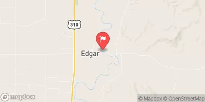
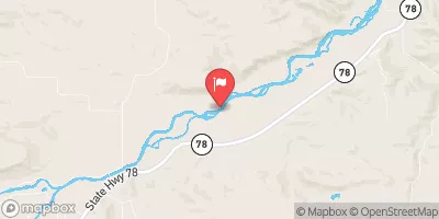
Shupak #1, also known as Shupak Dam, is a private-owned structure located in Golden, Montana along the TR-Clarks Fork Yellowstone River.
°F
°F
mph
Wind
%
Humidity
Summary
Built in 1963 by the USDA NRCS, this earth-type dam stands at 18 feet high and has a length of 570 feet, providing irrigation to the surrounding area. With a maximum storage capacity of 146 acre-feet and a normal storage of 90 acre-feet, Shupak #1 plays a vital role in supporting agriculture in Carbon County.
Despite being classified as a low hazard potential structure with a "Not Rated" condition assessment, Shupak #1 is regulated by the Montana Department of Natural Resources and Conservation (DNRC), with state permitting, inspection, and enforcement in place to ensure its safety and compliance. The dam has a spillway width of 20 feet and a maximum discharge of 230 cubic feet per second, serving as a critical component for managing water flow in the region. As a significant water resource infrastructure, Shupak #1 highlights the importance of sustainable water management practices in the face of changing climate conditions.
As water resource and climate enthusiasts, understanding the design, purpose, and operational aspects of dams like Shupak #1 is crucial for safeguarding water security and resilience in the face of environmental challenges. With its role in irrigation and water storage, Shupak #1 exemplifies the intersection of human infrastructure and natural resources, emphasizing the need for effective regulation, maintenance, and risk management to ensure the long-term sustainability of water systems in Montana and beyond.
Year Completed |
1963 |
Dam Length |
570 |
Dam Height |
18 |
River Or Stream |
TR-CLARKS FORK YELLOWSTONE R. |
Primary Dam Type |
Earth |
Surface Area |
16 |
Hydraulic Height |
14 |
Drainage Area |
0.55 |
Nid Storage |
146 |
Hazard Potential |
Low |
Nid Height |
18 |
Seasonal Comparison
Weather Forecast
Nearby Streamflow Levels
Dam Data Reference
Condition Assessment
SatisfactoryNo existing or potential dam safety deficiencies are recognized. Acceptable performance is expected under all loading conditions (static, hydrologic, seismic) in accordance with the minimum applicable state or federal regulatory criteria or tolerable risk guidelines.
Fair
No existing dam safety deficiencies are recognized for normal operating conditions. Rare or extreme hydrologic and/or seismic events may result in a dam safety deficiency. Risk may be in the range to take further action. Note: Rare or extreme event is defined by the regulatory agency based on their minimum
Poor A dam safety deficiency is recognized for normal operating conditions which may realistically occur. Remedial action is necessary. POOR may also be used when uncertainties exist as to critical analysis parameters which identify a potential dam safety deficiency. Investigations and studies are necessary.
Unsatisfactory
A dam safety deficiency is recognized that requires immediate or emergency remedial action for problem resolution.
Not Rated
The dam has not been inspected, is not under state or federal jurisdiction, or has been inspected but, for whatever reason, has not been rated.
Not Available
Dams for which the condition assessment is restricted to approved government users.
Hazard Potential Classification
HighDams assigned the high hazard potential classification are those where failure or mis-operation will probably cause loss of human life.
Significant
Dams assigned the significant hazard potential classification are those dams where failure or mis-operation results in no probable loss of human life but can cause economic loss, environment damage, disruption of lifeline facilities, or impact other concerns. Significant hazard potential classification dams are often located in predominantly rural or agricultural areas but could be in areas with population and significant infrastructure.
Low
Dams assigned the low hazard potential classification are those where failure or mis-operation results in no probable loss of human life and low economic and/or environmental losses. Losses are principally limited to the owner's property.
Undetermined
Dams for which a downstream hazard potential has not been designated or is not provided.
Not Available
Dams for which the downstream hazard potential is restricted to approved government users.
 Shupak #1
 Bridger
 Bridger Bend
 Bull Springs
 Beaver Lodge
 Horsethief Station