


Scs-Whitegrass-Waterhole Cr Site-1 Reservoir Report
Last Updated: April 28, 2026
°F
°F
mph
Wind
%
Humidity
SCS-Whitegrass-Waterhole Cr Site-1 is a state-owned dam located in McCurtain, Oklahoma, specifically in the city of Iron Stob Corner.
Summary
Built in 1961 by the USDA NRCS, this Earth dam stands at a height of 18 feet with a length of 1575 feet. Its primary purpose is flood risk reduction, with a storage capacity of 252 acre-feet and a spillway type of Controlled. The dam has a hazard potential rated as high and a condition assessment described as fair.
This site is under the jurisdiction of the Oklahoma Water Resources Board (OWRB) and is regulated, permitted, inspected, and enforced by the state. It is situated on TR-Whitegrass Creek and falls within the Fort Worth District of the US Army Corps of Engineers. The dam's risk assessment is categorized as very high (1), indicating the need for vigilant monitoring and management to mitigate potential hazards and ensure public safety. While the dam's condition is currently assessed as fair, ongoing assessments and modifications may be necessary to maintain its structural integrity and effectiveness in flood risk reduction.
Regional Streamflow Levels
 Glover River Near Glover
|
321cfs |
 Little River Blw Lukfata Creek
|
831cfs |
 Mountain Fork Near Eagletown
|
1620cfs |
 Red River Near De Kalb
|
9010cfs |
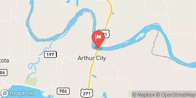 Red River At Arthur City
|
10600cfs |
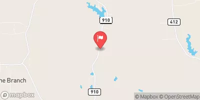 Cuthand Ck At Fm 910 Nr Cuthand
|
20cfs |
15-Day Long Term Forecast
Year Completed |
1961 |
Dam Length |
1575 |
Dam Height |
18 |
River Or Stream |
TR-WHITEGRASS CREEK |
Primary Dam Type |
Earth |
Surface Area |
8 |
Hydraulic Height |
18 |
Nid Storage |
252 |
Structural Height |
18 |
Outlet Gates |
Valve - 1 |
Hazard Potential |
High |
Foundations |
Soil |
Nid Height |
18 |
Seasonal Comparison
5-Day Hourly Forecast Detail
Dam Data Reference
Condition Assessment
SatisfactoryNo existing or potential dam safety deficiencies are recognized. Acceptable performance is expected under all loading conditions (static, hydrologic, seismic) in accordance with the minimum applicable state or federal regulatory criteria or tolerable risk guidelines.
Fair
No existing dam safety deficiencies are recognized for normal operating conditions. Rare or extreme hydrologic and/or seismic events may result in a dam safety deficiency. Risk may be in the range to take further action. Note: Rare or extreme event is defined by the regulatory agency based on their minimum
Poor A dam safety deficiency is recognized for normal operating conditions which may realistically occur. Remedial action is necessary. POOR may also be used when uncertainties exist as to critical analysis parameters which identify a potential dam safety deficiency. Investigations and studies are necessary.
Unsatisfactory
A dam safety deficiency is recognized that requires immediate or emergency remedial action for problem resolution.
Not Rated
The dam has not been inspected, is not under state or federal jurisdiction, or has been inspected but, for whatever reason, has not been rated.
Not Available
Dams for which the condition assessment is restricted to approved government users.
Hazard Potential Classification
HighDams assigned the high hazard potential classification are those where failure or mis-operation will probably cause loss of human life.
Significant
Dams assigned the significant hazard potential classification are those dams where failure or mis-operation results in no probable loss of human life but can cause economic loss, environment damage, disruption of lifeline facilities, or impact other concerns. Significant hazard potential classification dams are often located in predominantly rural or agricultural areas but could be in areas with population and significant infrastructure.
Low
Dams assigned the low hazard potential classification are those where failure or mis-operation results in no probable loss of human life and low economic and/or environmental losses. Losses are principally limited to the owner's property.
Undetermined
Dams for which a downstream hazard potential has not been designated or is not provided.
Not Available
Dams for which the downstream hazard potential is restricted to approved government users.