Toledo Bd Res Nr Burkeville Reservoir
As of July 21, 2026, Toledo Bd Res Nr Burkeville is holding 4,186,000 ac-ft of water — 2446808% of normal storage for this date. Storage data refreshed throughout the day.

Toledo Bd Res Nr Burkeville
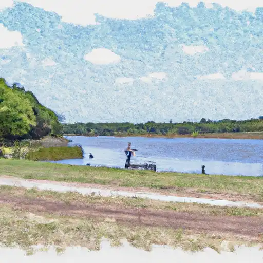
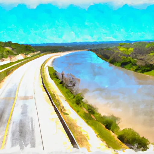
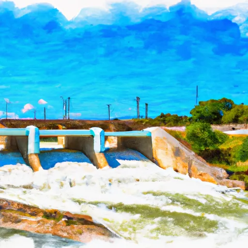
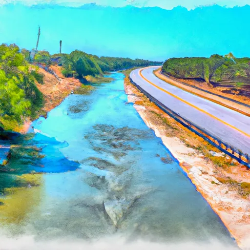
Toledo BD Res NR Burkeville is a reservoir located in the eastern part of Texas. The reservoir was created in 1969 with the construction of the Toledo Bend Dam on the Sabine River, which forms the Texas-Louisiana border. The reservoir has a surface area of 185,000 acres, making it one of the largest in the United States. It is primarily used for hydroelectric power generation, flood control, and recreation, including fishing, boating, and camping. The reservoir is fed by several major tributaries and receives water from the Sabine River Basin. The area also receives precipitation from snowpack in the winter months. The reservoir serves as a major source of water for agricultural use and provides drinking water to nearby communities.
Daily levels at Toledo Bd Res Nr Burkeville
Storage volume, pool elevation, and total release plotted from the operating agency's daily observations.
Reservoir storage, acre-ft
ac-ft · code 00054
Lake or reservoir water surface elevation above NGVD 1929, ft
ft · code 62614
Precipitation, total, in
in · code 00045
Plan around the weather
Same NOAA / yr.no feed Snoflo's iOS app uses. Watch the precipitation column on the meteogram -- rain on the basin upstream typically lifts inflow 24-72 hours later.
Next 5 days, hour by hour
Temperature line with weather symbols on top, snow + rain accumulation as columns, humidity as a dotted line.
5-day forecast table
Every 3 hours, broken out across temperature, snow, rain, humidity, and wind. Each cell is colour-coded relative to the column min/max.
| Time | Condition | Temp (°F) | Snow (in) | Rain (in) | Humidity (%) | Wind (mps) | Wind dir |
|---|---|---|---|---|---|---|---|
| Loading detailed forecast… | |||||||
15-day temperature & precipitation
Daily temperatures, snow, and rain projected over the next two weeks.
Nearby streamflow gauges
USGS streamgauges around Toledo Bd Res Nr Burkeville -- inflows here typically show up in storage 24-72 hours later.
| Streamgauge | Discharge | View |
|---|---|---|
| Sabine Rv At Toledo Bd Res Nr Burkeville | 185 cfs | → |
| Sabine Rv Nr Burkeville | 351 cfs | → |
| Bayou Toro Near Toro | 14 cfs | → |
| Bayou Anacoco Near Rosepine | 92 cfs | → |
| Big Cow Ck Nr Newton | 65 cfs | → |
| Sabine Rv Nr Bon Wier | 1,520 cfs | → |


About Toledo Bd Res Nr Burkeville
Where does the data for Toledo Bd Res Nr Burkeville come from?
Daily storage, pool elevation, and release rates are sourced from USGS, USBR, and USACE monitoring stations. Weather forecast comes from NOAA / yr.no -- the same feed Snoflo's iOS app uses.
How often is the report updated?
Storage observations are updated daily by the operating agency. The 15-day weather forecast refreshes throughout the day. Snoflo caches and renders the most recent observation -- check the "as of" timestamp on the storage card.
What does the Hazard hazard rating mean?
The Corps of Engineers' hazard potential classification grades probable consequences if the dam fails: High = probable loss of human life; Significant = no probable loss of human life but possible economic loss / environmental damage; Low = no probable loss of human life, only minor economic / environmental losses. See the Dam Data Reference card below for the full definitions.
What's "% of normal"?
The current storage value compared to the historical average storage on this calendar day. 100% = right on average; values above 100% mean above-normal storage (wet year); values below mean below-normal (dry year or drought).
Can I get alerts when storage crosses a threshold?
Yes -- alerts are managed in the Snoflo iOS app. Favorite this reservoir, set a threshold, and you'll get a push the moment conditions cross.