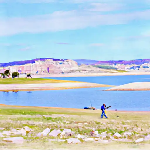
Huntington North Reservoir Reservoir
As of July 22, 2026, Huntington North Reservoir is holding 1,482 acre-ft of water — 43% of normal storage for this date. Storage data refreshed throughout the day.

Huntington North Reservoir
Huntington North Reservoir is a man-made reservoir located in Carbon County, Utah. The reservoir was constructed in 1962 by the Utah Division of Wildlife Resources and offers prime fishing opportunities for rainbow and brown trout. The reservoir's hydrology is primarily fed by surface flow from Huntington Creek and snowpack runoff from the surrounding mountains. Its water is primarily used for irrigation purposes and recreation activities such as boating, camping, and swimming. The reservoir is managed by the Division of Wildlife Resources who regularly monitor water levels and fish populations. Hunting and trapping are also allowed in the area with proper permits.
Daily levels at Huntington North Reservoir
Storage volume, pool elevation, and total release plotted from the operating agency's daily observations.
Storage
acre-ft · code 17
Inflow
cfs · code 29
Pool Elevation
ft · code 49
Total Release
cfs · code 42
Plan around the weather
Same NOAA / yr.no feed Snoflo's iOS app uses. Watch the precipitation column on the meteogram -- rain on the basin upstream typically lifts inflow 24-72 hours later.
Next 5 days, hour by hour
Temperature line with weather symbols on top, snow + rain accumulation as columns, humidity as a dotted line.
5-day forecast table
Every 3 hours, broken out across temperature, snow, rain, humidity, and wind. Each cell is colour-coded relative to the column min/max.
| Time | Condition | Temp (°F) | Snow (in) | Rain (in) | Humidity (%) | Wind (mps) | Wind dir |
|---|---|---|---|---|---|---|---|
| Loading detailed forecast… | |||||||
15-day temperature & precipitation
Daily temperatures, snow, and rain projected over the next two weeks.
Nearby streamflow gauges
USGS streamgauges around Huntington North Reservoir -- inflows here typically show up in storage 24-72 hours later.
| Streamgauge | Discharge | View |
|---|---|---|
| Ephraim Tunnel Near Ephraim | 0 cfs | → |
| Ferron Cr Bl Millsite Res & Divs Nr Ferron | · | → |
| Ferron Creek (Upper Station) Near Ferron | 16 cfs | → |
| Fairview Tunnel Near Fairview | 3 cfs | → |
| Mud Creek Bl Winter Quarters Canyon At Scofield | 8 cfs | → |
| Desert Seep Wash Near Wellington | 2 cfs | → |


About Huntington North Reservoir
Where does the data for Huntington North Reservoir come from?
Daily storage, pool elevation, and release rates are sourced from USGS, USBR, and USACE monitoring stations. Weather forecast comes from NOAA / yr.no -- the same feed Snoflo's iOS app uses.
How often is the report updated?
Storage observations are updated daily by the operating agency. The 15-day weather forecast refreshes throughout the day. Snoflo caches and renders the most recent observation -- check the "as of" timestamp on the storage card.
What does the Hazard hazard rating mean?
The Corps of Engineers' hazard potential classification grades probable consequences if the dam fails: High = probable loss of human life; Significant = no probable loss of human life but possible economic loss / environmental damage; Low = no probable loss of human life, only minor economic / environmental losses. See the Dam Data Reference card below for the full definitions.
What's "% of normal"?
The current storage value compared to the historical average storage on this calendar day. 100% = right on average; values above 100% mean above-normal storage (wet year); values below mean below-normal (dry year or drought).
Can I get alerts when storage crosses a threshold?
Yes -- alerts are managed in the Snoflo iOS app. Favorite this reservoir, set a threshold, and you'll get a push the moment conditions cross.