Starvation Reservoir Reservoir
As of July 20, 2026, Starvation Reservoir is holding 112,618 acre-ft of water — 76% of normal storage for this date. Storage data refreshed throughout the day.

Starvation Reservoir
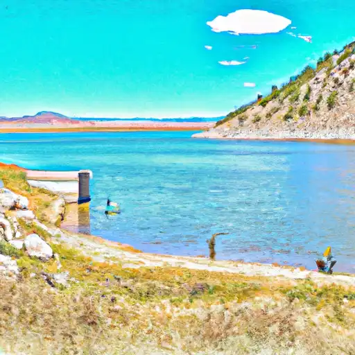
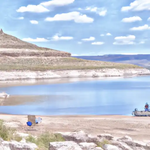
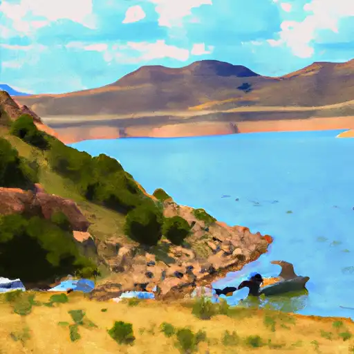
Starvation Reservoir is a man-made reservoir located in Duchesne County, Utah. It was constructed between 1970 and 1977 by the Central Utah Water Conservancy District to store water from the Strawberry River for agricultural and municipal use. The reservoir has a maximum capacity of 171,000 acre-feet of water and covers about 3,500 acres. The primary source of water for the reservoir is snowmelt and runoff from the Uinta Mountains, which provides water for irrigation and other agricultural uses in the surrounding area. Recreational activities such as fishing, boating, and camping are also popular at the reservoir. The surrounding area is home to a variety of wildlife, including deer, elk, and waterfowl.
Daily levels at Starvation Reservoir
Storage volume, pool elevation, and total release plotted from the operating agency's daily observations.
Storage
acre-ft · code 17
Inflow
cfs · code 29
Pool Elevation
ft · code 49
Total Release
cfs · code 42
Plan around the weather
Same NOAA / yr.no feed Snoflo's iOS app uses. Watch the precipitation column on the meteogram -- rain on the basin upstream typically lifts inflow 24-72 hours later.
Next 5 days, hour by hour
Temperature line with weather symbols on top, snow + rain accumulation as columns, humidity as a dotted line.
5-day forecast table
Every 3 hours, broken out across temperature, snow, rain, humidity, and wind. Each cell is colour-coded relative to the column min/max.
| Time | Condition | Temp (°F) | Snow (in) | Rain (in) | Humidity (%) | Wind (mps) | Wind dir |
|---|---|---|---|---|---|---|---|
| Loading detailed forecast… | |||||||
15-day temperature & precipitation
Daily temperatures, snow, and rain projected over the next two weeks.
Nearby streamflow gauges
USGS streamgauges around Starvation Reservoir -- inflows here typically show up in storage 24-72 hours later.
| Streamgauge | Discharge | View |
|---|---|---|
| Strawberry River Near Duchesne | 75 cfs | → |
| Duchesne River Near Tabiona | 74 cfs | → |
| Strawberry River At Pinnacles Near Fruitland | 42 cfs | → |
| Duchesne River At Myton | 75 cfs | → |
| Rock Creek Near Mountain Home | 90 cfs | → |
| Yellowstone River Near Altonah | 152 cfs | → |


About Starvation Reservoir
Where does the data for Starvation Reservoir come from?
Daily storage, pool elevation, and release rates are sourced from USGS, USBR, and USACE monitoring stations. Weather forecast comes from NOAA / yr.no -- the same feed Snoflo's iOS app uses.
How often is the report updated?
Storage observations are updated daily by the operating agency. The 15-day weather forecast refreshes throughout the day. Snoflo caches and renders the most recent observation -- check the "as of" timestamp on the storage card.
What does the Hazard hazard rating mean?
The Corps of Engineers' hazard potential classification grades probable consequences if the dam fails: High = probable loss of human life; Significant = no probable loss of human life but possible economic loss / environmental damage; Low = no probable loss of human life, only minor economic / environmental losses. See the Dam Data Reference card below for the full definitions.
What's "% of normal"?
The current storage value compared to the historical average storage on this calendar day. 100% = right on average; values above 100% mean above-normal storage (wet year); values below mean below-normal (dry year or drought).
Can I get alerts when storage crosses a threshold?
Yes -- alerts are managed in the Snoflo iOS app. Favorite this reservoir, set a threshold, and you'll get a push the moment conditions cross.