Birch Creek No. 2 Reservoir Report
Last Updated: December 22, 2025
Birch Creek No.
°F
°F
mph
Wind
%
Humidity
Summary
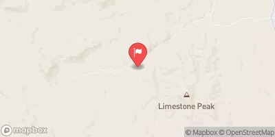
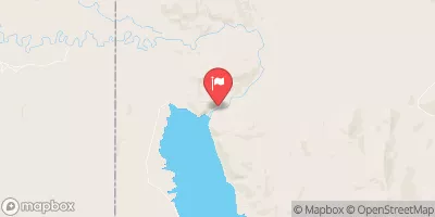
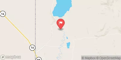
2 is a privately owned irrigation dam located in Woodruff, Utah, along the Birch Creek river. Built in 1951, this earth dam stands at a structural height of 101 feet, with a hydraulic height of 92 feet, and a length of 474 feet. The dam has a normal storage capacity of 2256 acre-feet, serving the irrigation needs of the surrounding area within a drainage area of 17 square miles.
Managed by the Utah Division of Water Rights, Birch Creek No. 2 has a state-regulated status with regular inspections and enforcement to ensure its safety and functionality for water resource management. The dam has a high hazard potential and is classified as being in fair condition as of the last assessment in 2012. With a maximum discharge capacity of 90 cubic feet per second, this dam plays a crucial role in water storage and distribution for agricultural purposes in the region.
Despite its age, Birch Creek No. 2 continues to provide essential water resources for the local community, showcasing the importance of maintaining and monitoring infrastructure for sustainable water management in the face of changing climate conditions. As a key irrigation structure in Rich County, Utah, this dam serves as a vital lifeline for agricultural activities, highlighting the intersection of water resource management and climate resilience in the region.
Year Completed |
1951 |
Dam Length |
474 |
River Or Stream |
BIRCH CREEK |
Primary Dam Type |
Earth |
Hydraulic Height |
92 |
Drainage Area |
17 |
Nid Storage |
2736 |
Structural Height |
101 |
Hazard Potential |
High |
Nid Height |
101 |
Seasonal Comparison
Weather Forecast
Nearby Streamflow Levels
 Big Creek Near Randolph
|
9cfs |
 Bear River Below Reservoir
|
16cfs |
 Bear River Above Reservoir
|
4cfs |
 Lost Creek Near Croyden
|
7cfs |
 Blacksmith Fork Ab U.P.&L. Co
|
60cfs |
 Bear River At Evanston
|
27cfs |
Dam Data Reference
Condition Assessment
SatisfactoryNo existing or potential dam safety deficiencies are recognized. Acceptable performance is expected under all loading conditions (static, hydrologic, seismic) in accordance with the minimum applicable state or federal regulatory criteria or tolerable risk guidelines.
Fair
No existing dam safety deficiencies are recognized for normal operating conditions. Rare or extreme hydrologic and/or seismic events may result in a dam safety deficiency. Risk may be in the range to take further action. Note: Rare or extreme event is defined by the regulatory agency based on their minimum
Poor A dam safety deficiency is recognized for normal operating conditions which may realistically occur. Remedial action is necessary. POOR may also be used when uncertainties exist as to critical analysis parameters which identify a potential dam safety deficiency. Investigations and studies are necessary.
Unsatisfactory
A dam safety deficiency is recognized that requires immediate or emergency remedial action for problem resolution.
Not Rated
The dam has not been inspected, is not under state or federal jurisdiction, or has been inspected but, for whatever reason, has not been rated.
Not Available
Dams for which the condition assessment is restricted to approved government users.
Hazard Potential Classification
HighDams assigned the high hazard potential classification are those where failure or mis-operation will probably cause loss of human life.
Significant
Dams assigned the significant hazard potential classification are those dams where failure or mis-operation results in no probable loss of human life but can cause economic loss, environment damage, disruption of lifeline facilities, or impact other concerns. Significant hazard potential classification dams are often located in predominantly rural or agricultural areas but could be in areas with population and significant infrastructure.
Low
Dams assigned the low hazard potential classification are those where failure or mis-operation results in no probable loss of human life and low economic and/or environmental losses. Losses are principally limited to the owner's property.
Undetermined
Dams for which a downstream hazard potential has not been designated or is not provided.
Not Available
Dams for which the downstream hazard potential is restricted to approved government users.

 Birch Creek No. 2