Fool Creek No 2 Reservoir Report
Nearby: Fool Creek No. 1 Dmad
Last Updated: February 21, 2026
Fool Creek No 2 is a privately owned irrigation dam located in Millard County, Utah.
Summary
Built in 1948, this earth dam serves the primary purpose of providing water for agricultural irrigation in the area. With a hydraulic height of 8 feet and a structural height of 10 feet, the dam has a normal storage capacity of 4419 acre-feet, with a maximum storage capacity of 5217 acre-feet. The drainage area for this dam is 45.6 square miles, ensuring a reliable water supply for the surrounding farmlands.
Managed by the Utah Division of Water Rights, Fool Creek No 2 is considered to have a low hazard potential. While the condition assessment is currently not rated, the dam undergoes regular inspections every 5 years to ensure its safety and functionality. The last inspection was conducted in May 2019. With its strategic location along Fool Creek, this dam plays a crucial role in the water resource management of the region, contributing to the sustainability of agriculture and the local ecosystem. Climate enthusiasts and water resource professionals alike can appreciate the significance of this infrastructure in maintaining water security in the arid landscape of Utah.
°F
°F
mph
Wind
%
Humidity
15-Day Weather Outlook
Year Completed |
1948 |
Dam Length |
120 |
River Or Stream |
FOOL CREEK |
Primary Dam Type |
Earth |
Hydraulic Height |
8 |
Drainage Area |
45.6 |
Nid Storage |
5217 |
Structural Height |
10 |
Hazard Potential |
Low |
Nid Height |
10 |
Seasonal Comparison
5-Day Hourly Forecast Detail
Nearby Streamflow Levels
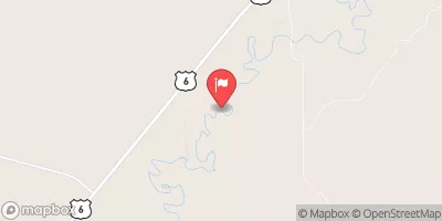
 Sevier River Near Lynndyl
|
27cfs |
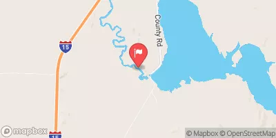
 Sevier River Near Juab
|
0cfs |
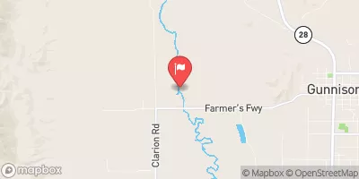
 Sevier River Blw San Pitch River
|
139cfs |
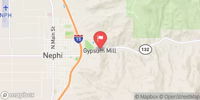
 Salt Creek At Nephi
|
3cfs |
 Currant Creek Near Mona
|
10cfs |
 Vernon Creek Near Vernon
|
2cfs |
Dam Data Reference
Condition Assessment
SatisfactoryNo existing or potential dam safety deficiencies are recognized. Acceptable performance is expected under all loading conditions (static, hydrologic, seismic) in accordance with the minimum applicable state or federal regulatory criteria or tolerable risk guidelines.
Fair
No existing dam safety deficiencies are recognized for normal operating conditions. Rare or extreme hydrologic and/or seismic events may result in a dam safety deficiency. Risk may be in the range to take further action. Note: Rare or extreme event is defined by the regulatory agency based on their minimum
Poor A dam safety deficiency is recognized for normal operating conditions which may realistically occur. Remedial action is necessary. POOR may also be used when uncertainties exist as to critical analysis parameters which identify a potential dam safety deficiency. Investigations and studies are necessary.
Unsatisfactory
A dam safety deficiency is recognized that requires immediate or emergency remedial action for problem resolution.
Not Rated
The dam has not been inspected, is not under state or federal jurisdiction, or has been inspected but, for whatever reason, has not been rated.
Not Available
Dams for which the condition assessment is restricted to approved government users.
Hazard Potential Classification
HighDams assigned the high hazard potential classification are those where failure or mis-operation will probably cause loss of human life.
Significant
Dams assigned the significant hazard potential classification are those dams where failure or mis-operation results in no probable loss of human life but can cause economic loss, environment damage, disruption of lifeline facilities, or impact other concerns. Significant hazard potential classification dams are often located in predominantly rural or agricultural areas but could be in areas with population and significant infrastructure.
Low
Dams assigned the low hazard potential classification are those where failure or mis-operation results in no probable loss of human life and low economic and/or environmental losses. Losses are principally limited to the owner's property.
Undetermined
Dams for which a downstream hazard potential has not been designated or is not provided.
Not Available
Dams for which the downstream hazard potential is restricted to approved government users.

 Fool Creek No 2