East Barre Detention Reservoir At East Barre Reservoir
As of July 20, 2026, East Barre Detention Reservoir At East Barre is holding 1,132 ft of water — 100% of normal storage for this date. Storage data refreshed throughout the day.

East Barre Detention Reservoir At East Barre
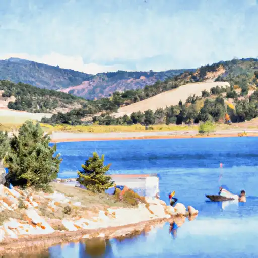
The East Barre Detention Reservoir is located in the town of East Barre, Vermont. This reservoir was constructed in 1979 as a flood control measure under the Flood Control Act of 1944. The reservoir provides flood protection to the downstream communities along the Jail Branch River. The reservoir's hydrology is fed by surface flow and snowpack melt from the surrounding mountains. The primary agricultural use of the area near the reservoir is hay farming. The reservoir also provides recreational opportunities for fishing and boating. The reservoir has a capacity of 28 million gallons and covers an area of 31 acres. It is managed by the United States Army Corps of Engineers.
Daily levels at East Barre Detention Reservoir At East Barre
Storage volume, pool elevation, and total release plotted from the operating agency's daily observations.
Lake or reservoir water surface elevation above NGVD 1929, ft
ft · code 62614
Plan around the weather
Same NOAA / yr.no feed Snoflo's iOS app uses. Watch the precipitation column on the meteogram -- rain on the basin upstream typically lifts inflow 24-72 hours later.
Next 5 days, hour by hour
Temperature line with weather symbols on top, snow + rain accumulation as columns, humidity as a dotted line.
5-day forecast table
Every 3 hours, broken out across temperature, snow, rain, humidity, and wind. Each cell is colour-coded relative to the column min/max.
| Time | Condition | Temp (°F) | Snow (in) | Rain (in) | Humidity (%) | Wind (mps) | Wind dir |
|---|---|---|---|---|---|---|---|
| Loading detailed forecast… | |||||||
15-day temperature & precipitation
Daily temperatures, snow, and rain projected over the next two weeks.
Nearby streamflow gauges
USGS streamgauges around East Barre Detention Reservoir At East Barre -- inflows here typically show up in storage 24-72 hours later.
| Streamgauge | Discharge | View |
|---|---|---|
| East Orange Branch At East Orange | 6 cfs | → |
| Dog River At Northfield Falls | 29 cfs | → |
| Winooski River At Montpelier | 268 cfs | → |
| North Branch Winooski River At Wrightsville | 31 cfs | → |
| Mad River Near Moretown | 73 cfs | → |
| Ayers Brook At Randolph | 13 cfs | → |


About East Barre Detention Reservoir At East Barre
Where does the data for East Barre Detention Reservoir At East Barre come from?
Daily storage, pool elevation, and release rates are sourced from USGS, USBR, and USACE monitoring stations. Weather forecast comes from NOAA / yr.no -- the same feed Snoflo's iOS app uses.
How often is the report updated?
Storage observations are updated daily by the operating agency. The 15-day weather forecast refreshes throughout the day. Snoflo caches and renders the most recent observation -- check the "as of" timestamp on the storage card.
What does the Hazard hazard rating mean?
The Corps of Engineers' hazard potential classification grades probable consequences if the dam fails: High = probable loss of human life; Significant = no probable loss of human life but possible economic loss / environmental damage; Low = no probable loss of human life, only minor economic / environmental losses. See the Dam Data Reference card below for the full definitions.
What's "% of normal"?
The current storage value compared to the historical average storage on this calendar day. 100% = right on average; values above 100% mean above-normal storage (wet year); values below mean below-normal (dry year or drought).
Can I get alerts when storage crosses a threshold?
Yes -- alerts are managed in the Snoflo iOS app. Favorite this reservoir, set a threshold, and you'll get a push the moment conditions cross.