
Cheney Dam Reservoir Report
Nearby: Smith Dam Longinaker Dam
Last Updated: December 25, 2025
Cheney Dam, located in Fremont County, Iowa, is a private earth dam with a primary purpose of fire protection, stock, or small fish pond.
°F
°F
mph
Wind
%
Humidity
Summary
Built in 1961 by the USDA NRCS, this dam stands at 36 feet in height and spans 488 feet in length. With a storage capacity of 37 acre-feet and a surface area of 2 acres, Cheney Dam serves as a vital resource for the local community.
Managed by the Iowa Department of Natural Resources, Cheney Dam is regulated and inspected regularly to ensure its safety and functionality. With a low hazard potential and a moderate risk assessment, the dam plays a crucial role in water resource management in the area. Despite not being rated for condition assessment, Cheney Dam continues to provide essential services for fire protection and livestock maintenance.
Situated along TR-Camp Creek, Cheney Dam is a key infrastructure for the region, offering valuable water storage and flood control capabilities. With its controlled spillway and soil foundation, the dam exemplifies the importance of proper dam maintenance and management in mitigating climate-related risks and ensuring water resource sustainability for future generations.
Year Completed |
1961 |
Dam Length |
488 |
Dam Height |
36 |
River Or Stream |
TR-CAMP CREEK |
Primary Dam Type |
Earth |
Surface Area |
2 |
Drainage Area |
0.15 |
Nid Storage |
37 |
Hazard Potential |
Low |
Foundations |
Soil |
Nid Height |
36 |
Seasonal Comparison
Weather Forecast
Nearby Streamflow Levels
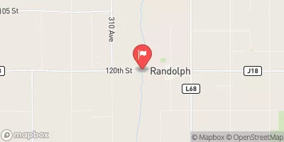 West Nishnabotna River At Randolph
|
349cfs |
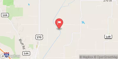 Nishnabotna River Above Hamburg
|
762cfs |
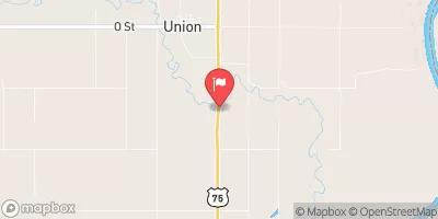 Weeping Water Creek At Union
|
20cfs |
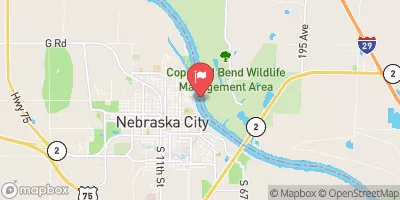 Missouri River At Nebraska City
|
25100cfs |
 East Nishnabotna River At Red Oak
|
302cfs |
 Platte R At Louisville Ne
|
6400cfs |
Dam Data Reference
Condition Assessment
SatisfactoryNo existing or potential dam safety deficiencies are recognized. Acceptable performance is expected under all loading conditions (static, hydrologic, seismic) in accordance with the minimum applicable state or federal regulatory criteria or tolerable risk guidelines.
Fair
No existing dam safety deficiencies are recognized for normal operating conditions. Rare or extreme hydrologic and/or seismic events may result in a dam safety deficiency. Risk may be in the range to take further action. Note: Rare or extreme event is defined by the regulatory agency based on their minimum
Poor A dam safety deficiency is recognized for normal operating conditions which may realistically occur. Remedial action is necessary. POOR may also be used when uncertainties exist as to critical analysis parameters which identify a potential dam safety deficiency. Investigations and studies are necessary.
Unsatisfactory
A dam safety deficiency is recognized that requires immediate or emergency remedial action for problem resolution.
Not Rated
The dam has not been inspected, is not under state or federal jurisdiction, or has been inspected but, for whatever reason, has not been rated.
Not Available
Dams for which the condition assessment is restricted to approved government users.
Hazard Potential Classification
HighDams assigned the high hazard potential classification are those where failure or mis-operation will probably cause loss of human life.
Significant
Dams assigned the significant hazard potential classification are those dams where failure or mis-operation results in no probable loss of human life but can cause economic loss, environment damage, disruption of lifeline facilities, or impact other concerns. Significant hazard potential classification dams are often located in predominantly rural or agricultural areas but could be in areas with population and significant infrastructure.
Low
Dams assigned the low hazard potential classification are those where failure or mis-operation results in no probable loss of human life and low economic and/or environmental losses. Losses are principally limited to the owner's property.
Undetermined
Dams for which a downstream hazard potential has not been designated or is not provided.
Not Available
Dams for which the downstream hazard potential is restricted to approved government users.
 Cheney Dam