


Lower Mountain Lake Dam Reservoir Report
Last Updated: April 28, 2026
°F
°F
mph
Wind
%
Humidity
Lower Mountain Lake Dam, located in Haverhill, New Hampshire, is a significant structure regulated by the NHDES Dam Bureau.
Summary
Completed in 1967, the primary purpose of this earth dam is for recreation, with a storage capacity of 376 acre-feet and a surface area of 41 acres. The dam stands at a height of 33 feet and has a spillway width of 8 feet, capable of handling a maximum discharge of 1650 cubic feet per second.
Despite being classified as having a significant hazard potential, the dam is in fair condition as of the last assessment in October 2017. The inspection frequency is every 4 years, with the last inspection conducted on October 5, 2017. The risk assessment for the dam is moderate, with no specific risk management measures mentioned in the data. Overall, Lower Mountain Lake Dam serves as an important recreational resource in Grafton County and is a key structure for water management in the region.
Regional Streamflow Levels

15-Day Long Term Forecast
Year Completed |
1967 |
Dam Length |
850 |
Dam Height |
33 |
River Or Stream |
WATERMAN BROOK |
Primary Dam Type |
Earth |
Surface Area |
41 |
Drainage Area |
3.71 |
Nid Storage |
376 |
Hazard Potential |
Significant |
Foundations |
Unlisted/Unknown |
Nid Height |
33 |
Seasonal Comparison
5-Day Hourly Forecast Detail
Dam Data Reference
Condition Assessment
SatisfactoryNo existing or potential dam safety deficiencies are recognized. Acceptable performance is expected under all loading conditions (static, hydrologic, seismic) in accordance with the minimum applicable state or federal regulatory criteria or tolerable risk guidelines.
Fair
No existing dam safety deficiencies are recognized for normal operating conditions. Rare or extreme hydrologic and/or seismic events may result in a dam safety deficiency. Risk may be in the range to take further action. Note: Rare or extreme event is defined by the regulatory agency based on their minimum
Poor A dam safety deficiency is recognized for normal operating conditions which may realistically occur. Remedial action is necessary. POOR may also be used when uncertainties exist as to critical analysis parameters which identify a potential dam safety deficiency. Investigations and studies are necessary.
Unsatisfactory
A dam safety deficiency is recognized that requires immediate or emergency remedial action for problem resolution.
Not Rated
The dam has not been inspected, is not under state or federal jurisdiction, or has been inspected but, for whatever reason, has not been rated.
Not Available
Dams for which the condition assessment is restricted to approved government users.
Hazard Potential Classification
HighDams assigned the high hazard potential classification are those where failure or mis-operation will probably cause loss of human life.
Significant
Dams assigned the significant hazard potential classification are those dams where failure or mis-operation results in no probable loss of human life but can cause economic loss, environment damage, disruption of lifeline facilities, or impact other concerns. Significant hazard potential classification dams are often located in predominantly rural or agricultural areas but could be in areas with population and significant infrastructure.
Low
Dams assigned the low hazard potential classification are those where failure or mis-operation results in no probable loss of human life and low economic and/or environmental losses. Losses are principally limited to the owner's property.
Undetermined
Dams for which a downstream hazard potential has not been designated or is not provided.
Not Available
Dams for which the downstream hazard potential is restricted to approved government users.
Area Campgrounds
| Location | Reservations | Toilets |
|---|---|---|
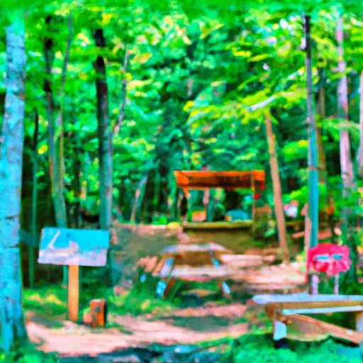
 Harkdale Farm Campsite
|
||
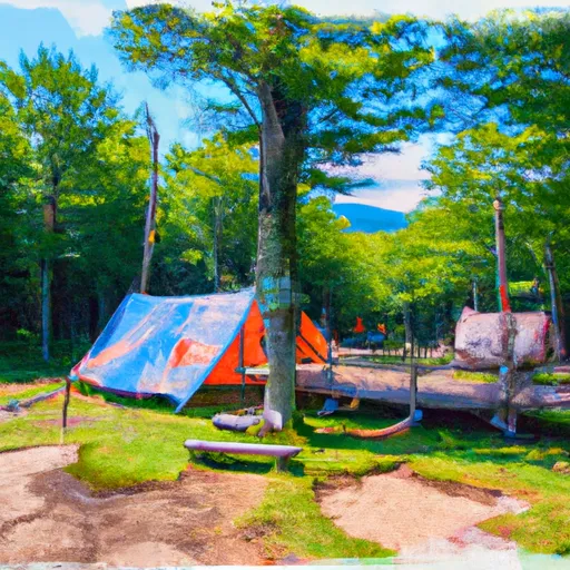
 Wildwood Campground
|
||
 Jeffers Brook Shelter
|
||
 Beaver Brook Shelter
|
||
 Eliza Brook Shelter
|
||
 Kinsman Pond Tentsite
|
 French Pond boat launch