


Ritchie Hill Swm Pond Reservoir Report
Last Updated: May 11, 2026
°F
°F
mph
Wind
%
Humidity
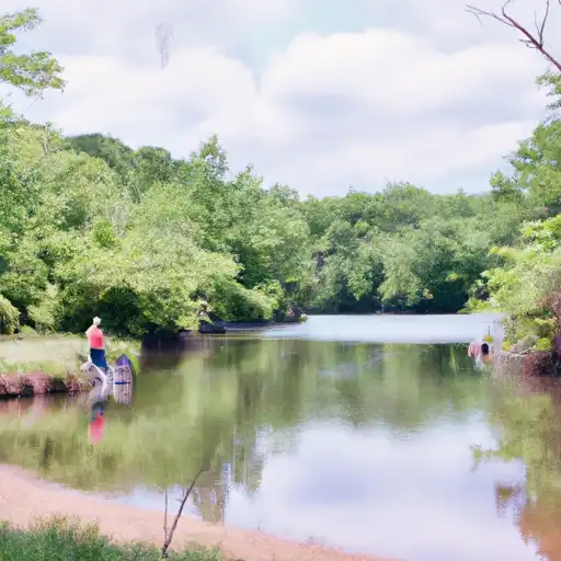
Ritchie Hill Stormwater Management Pond, also known as Ritchie Marlboro Road SWM Facility and Ritchie Station Pond, is a state-owned water resource facility located in Prince George's County, Maryland.
Summary
Designed by Ben Dyer Associates, the pond was completed in 2008 and serves as a crucial component in managing stormwater runoff in the area. The dam, primarily made of earth and stone with a height of 15 feet, helps control flooding and improve water quality in the surrounding Ritchie Branch-TR watershed.
With a surface area of 3 acres and a drainage area of 0.18 square miles, the Ritchie Hill SWM Pond has a significant hazard potential but is currently in satisfactory condition. Regular inspections and maintenance ensure the facility's continued functionality and safety. The facility's uncontrolled spillway, with a width of 20 feet, allows for the controlled release of excess water during heavy rain events, helping to prevent overflow and potential damage to downstream areas. Climate and water resource enthusiasts will appreciate the role this pond plays in mitigating the impact of stormwater runoff and protecting the local environment.
Regional Streamflow Levels


15-Day Long Term Forecast
Year Completed |
2008 |
Dam Height |
15 |
River Or Stream |
Ritchie Branch-TR |
Primary Dam Type |
Earth |
Surface Area |
3 |
Drainage Area |
0.18 |
Hazard Potential |
Significant |
Foundations |
Soil |
Nid Height |
15 |
Seasonal Comparison
5-Day Hourly Forecast Detail
Dam Data Reference
Condition Assessment
SatisfactoryNo existing or potential dam safety deficiencies are recognized. Acceptable performance is expected under all loading conditions (static, hydrologic, seismic) in accordance with the minimum applicable state or federal regulatory criteria or tolerable risk guidelines.
Fair
No existing dam safety deficiencies are recognized for normal operating conditions. Rare or extreme hydrologic and/or seismic events may result in a dam safety deficiency. Risk may be in the range to take further action. Note: Rare or extreme event is defined by the regulatory agency based on their minimum
Poor A dam safety deficiency is recognized for normal operating conditions which may realistically occur. Remedial action is necessary. POOR may also be used when uncertainties exist as to critical analysis parameters which identify a potential dam safety deficiency. Investigations and studies are necessary.
Unsatisfactory
A dam safety deficiency is recognized that requires immediate or emergency remedial action for problem resolution.
Not Rated
The dam has not been inspected, is not under state or federal jurisdiction, or has been inspected but, for whatever reason, has not been rated.
Not Available
Dams for which the condition assessment is restricted to approved government users.
Hazard Potential Classification
HighDams assigned the high hazard potential classification are those where failure or mis-operation will probably cause loss of human life.
Significant
Dams assigned the significant hazard potential classification are those dams where failure or mis-operation results in no probable loss of human life but can cause economic loss, environment damage, disruption of lifeline facilities, or impact other concerns. Significant hazard potential classification dams are often located in predominantly rural or agricultural areas but could be in areas with population and significant infrastructure.
Low
Dams assigned the low hazard potential classification are those where failure or mis-operation results in no probable loss of human life and low economic and/or environmental losses. Losses are principally limited to the owner's property.
Undetermined
Dams for which a downstream hazard potential has not been designated or is not provided.
Not Available
Dams for which the downstream hazard potential is restricted to approved government users.
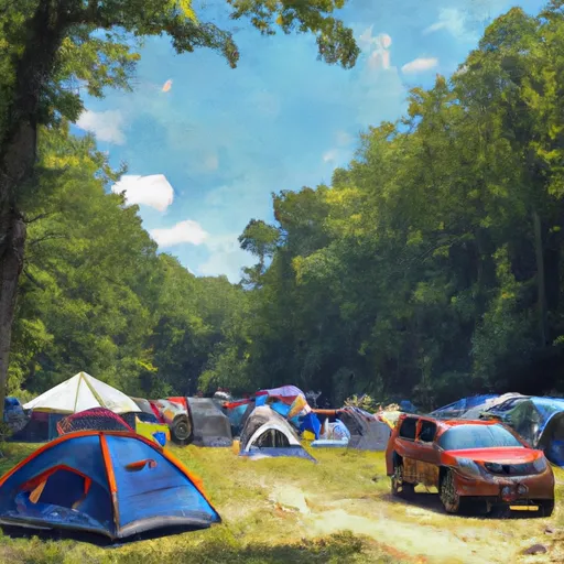
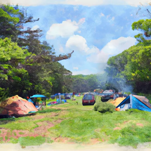
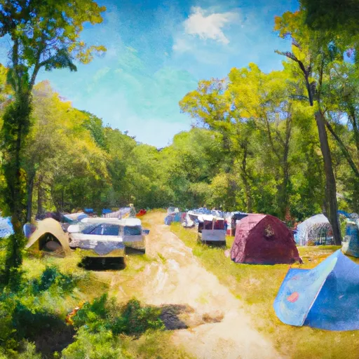
Area Campgrounds
| Location | Reservations | Toilets |
|---|---|---|
 Andrews AFB Military
|
||
 Camp Loop B
|
||
 Camp Loop A
|
||
 Camp Loop C
|
||
 Camp Loop D
|
||
 Greenbelt Park
|
 Atkisson Reservoir Near Bel Air
 Anacostia Park Boat Ramp
 Watts Branch
 Hickey Run
 Oxon Creek
 Spring Branch (historical)
 Kingman Lake