Moses Lake At Moses Lake Reservoir
As of July 17, 2026, Moses Lake At Moses Lake is holding 1,047 ft of water. Storage data refreshed throughout the day.

Moses Lake At Moses Lake
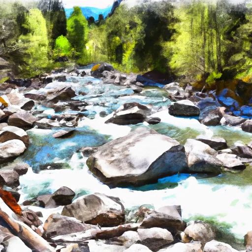
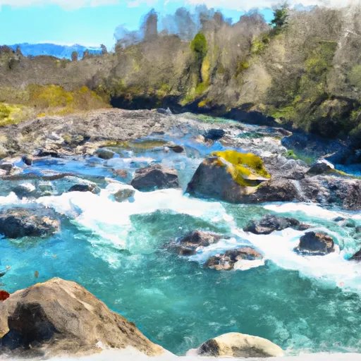
Moses Lake is a city located in Grant County, Washington, named after the nearby Moses Lake. The lake was formed by the Ice Age Missoula Floods, and its hydrology is supplied by surface runoff, precipitation, and snowpack, which is provided by the Cascade Mountains. The lake's water is used for irrigation and recreational activities, including fishing, boating, and swimming. The area around the lake is known for its agricultural production, particularly potatoes, apples, and cherries. The city of Moses Lake has a rich history, with early settlers using the area for ranching, mining, and farming. In the 1940s, the area became a major military training facility and later became a hub for aviation and technology. Today, Moses Lake is an important economic center, with a thriving manufacturing industry and a growing tourism sector.
Daily levels at Moses Lake At Moses Lake
Storage volume, pool elevation, and total release plotted from the operating agency's daily observations.
Lake or reservoir water surface elevation above NGVD 1929, ft
ft · code 62614
Plan around the weather
Same NOAA / yr.no feed Snoflo's iOS app uses. Watch the precipitation column on the meteogram -- rain on the basin upstream typically lifts inflow 24-72 hours later.
Next 5 days, hour by hour
Temperature line with weather symbols on top, snow + rain accumulation as columns, humidity as a dotted line.
5-day forecast table
Every 3 hours, broken out across temperature, snow, rain, humidity, and wind. Each cell is colour-coded relative to the column min/max.
| Time | Condition | Temp (°F) | Snow (in) | Rain (in) | Humidity (%) | Wind (mps) | Wind dir |
|---|---|---|---|---|---|---|---|
| Loading detailed forecast… | |||||||
15-day temperature & precipitation
Daily temperatures, snow, and rain projected over the next two weeks.
Nearby streamflow gauges
USGS streamgauges around Moses Lake At Moses Lake -- inflows here typically show up in storage 24-72 hours later.
| Streamgauge | Discharge | View |
|---|---|---|
| Crab Creek Near Moses Lake | 67 cfs | → |
| Crab Creek Near Beverly | 108 cfs | → |
| Crab Creek At Irby | 3 cfs | → |
| Columbia River Below Priest Rapids Dam | 76,300 cfs | → |
| Wilson Creek Below Corbett Draw Near Almira | 0 cfs | → |
| Coal Creek At Mohler | 0 cfs | → |


About Moses Lake At Moses Lake
Where does the data for Moses Lake At Moses Lake come from?
Daily storage, pool elevation, and release rates are sourced from USGS, USBR, and USACE monitoring stations. Weather forecast comes from NOAA / yr.no -- the same feed Snoflo's iOS app uses.
How often is the report updated?
Storage observations are updated daily by the operating agency. The 15-day weather forecast refreshes throughout the day. Snoflo caches and renders the most recent observation -- check the "as of" timestamp on the storage card.
What does the Hazard hazard rating mean?
The Corps of Engineers' hazard potential classification grades probable consequences if the dam fails: High = probable loss of human life; Significant = no probable loss of human life but possible economic loss / environmental damage; Low = no probable loss of human life, only minor economic / environmental losses. See the Dam Data Reference card below for the full definitions.
What's "% of normal"?
The current storage value compared to the historical average storage on this calendar day. 100% = right on average; values above 100% mean above-normal storage (wet year); values below mean below-normal (dry year or drought).
Can I get alerts when storage crosses a threshold?
Yes -- alerts are managed in the Snoflo iOS app. Favorite this reservoir, set a threshold, and you'll get a push the moment conditions cross.