


Mcnary Lock And Dam - Kennewick Levee 7 Reservoir Report
Last Updated: May 3, 2026
Nearby: Mcnary Lock And Dam - Kennewick Levees 15c, 15d, 15e Mcnary Lock And Dam - Kennewick Levee 20
°F
°F
mph
Wind
%
Humidity
Mcnary Lock and Dam, situated in Oregon along the Columbia River, is a vital structure owned and operated by the US Army Corps of Engineers for flood risk reduction.
Summary
Completed in 1952, this earth dam is part of a larger system of 12 associated structures aimed at managing water levels and preventing potential flooding in the area. The dam's primary purpose is to mitigate the risk of inundation and protect the surrounding communities from the hazards posed by high water levels.
With a high hazard potential, the US Army Corps of Engineers closely monitors and manages the flood risks associated with the dam. Regular inspections, emergency action plans, and risk assessment measures are in place to ensure the structural integrity of the dam and the safety of the nearby residents. By working collaboratively with local emergency managers and the public, the Corps aims to raise awareness, prepare for emergencies, and respond effectively in the event of a dam-related crisis. As climate change continues to bring unpredictable weather patterns, the importance of proactive risk management strategies at Mcnary Lock and Dam becomes increasingly evident, showcasing the critical role it plays in safeguarding the community against potential flooding events.
Regional Streamflow Levels
15-Day Long Term Forecast
Year Completed |
1952 |
River Or Stream |
COLUMBIA |
Primary Dam Type |
Earth |
Hazard Potential |
High |
Seasonal Comparison
5-Day Hourly Forecast Detail
Dam Data Reference
Condition Assessment
SatisfactoryNo existing or potential dam safety deficiencies are recognized. Acceptable performance is expected under all loading conditions (static, hydrologic, seismic) in accordance with the minimum applicable state or federal regulatory criteria or tolerable risk guidelines.
Fair
No existing dam safety deficiencies are recognized for normal operating conditions. Rare or extreme hydrologic and/or seismic events may result in a dam safety deficiency. Risk may be in the range to take further action. Note: Rare or extreme event is defined by the regulatory agency based on their minimum
Poor A dam safety deficiency is recognized for normal operating conditions which may realistically occur. Remedial action is necessary. POOR may also be used when uncertainties exist as to critical analysis parameters which identify a potential dam safety deficiency. Investigations and studies are necessary.
Unsatisfactory
A dam safety deficiency is recognized that requires immediate or emergency remedial action for problem resolution.
Not Rated
The dam has not been inspected, is not under state or federal jurisdiction, or has been inspected but, for whatever reason, has not been rated.
Not Available
Dams for which the condition assessment is restricted to approved government users.
Hazard Potential Classification
HighDams assigned the high hazard potential classification are those where failure or mis-operation will probably cause loss of human life.
Significant
Dams assigned the significant hazard potential classification are those dams where failure or mis-operation results in no probable loss of human life but can cause economic loss, environment damage, disruption of lifeline facilities, or impact other concerns. Significant hazard potential classification dams are often located in predominantly rural or agricultural areas but could be in areas with population and significant infrastructure.
Low
Dams assigned the low hazard potential classification are those where failure or mis-operation results in no probable loss of human life and low economic and/or environmental losses. Losses are principally limited to the owner's property.
Undetermined
Dams for which a downstream hazard potential has not been designated or is not provided.
Not Available
Dams for which the downstream hazard potential is restricted to approved government users.
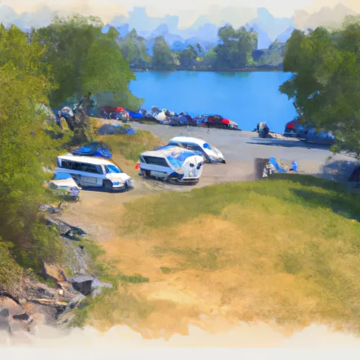
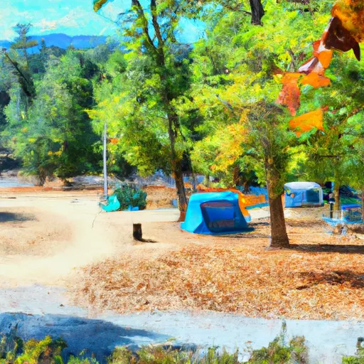
Area Campgrounds
| Location | Reservations | Toilets |
|---|---|---|
 Hood Park
|
||
 Ice Harbor Ramp - Lake Sacajawea
|
||
 Columbia Park
|
||
 Charbonneau Park
|
||
 Madame Dorion Park
|
||
 Fishhook Park
|
 East Donelson Road 222798-224804, Kennewick