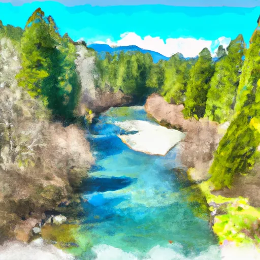
Wynoochee Lake Near Grisdale Reservoir
As of August 2, 2026, Wynoochee Lake Near Grisdale is holding 32,610 ac-ft of water — 4114% of normal storage for this date. Storage data refreshed throughout the day.

Wynoochee Lake Near Grisdale
Wynoochee Lake is a reservoir located near Grisdale, Washington. The lake was created in 1961 by the construction of the Wynoochee Dam on the Wynoochee River. The dam was built to provide hydroelectric power, flood control, and irrigation water. The lake has a capacity of 120,000 acre-feet and provides water to the Chehalis River Basin for agriculture and municipal uses. The hydrology of the lake is influenced by both surface flow and snowpack. The lake is surrounded by the Olympic National Forest and is a popular destination for recreational activities such as fishing, boating, hiking, and camping. The lake is also home to several species of fish, including rainbow trout, cutthroat trout, and kokanee salmon.
Daily levels at Wynoochee Lake Near Grisdale
Storage volume, pool elevation, and total release plotted from the operating agency's daily observations.
Reservoir storage, acre-ft
ac-ft · code 00054
Lake or reservoir water surface elevation above NGVD 1929, ft
ft · code 62614
Precipitation, total, in
in · code 00045
Temperature, air, °F
deg F · code 00021
Plan around the weather
Same NOAA / yr.no feed Snoflo's iOS app uses. Watch the precipitation column on the meteogram -- rain on the basin upstream typically lifts inflow 24-72 hours later.
Next 5 days, hour by hour
Temperature line with weather symbols on top, snow + rain accumulation as columns, humidity as a dotted line.
5-day forecast table
Every 3 hours, broken out across temperature, snow, rain, humidity, and wind. Each cell is colour-coded relative to the column min/max.
| Time | Condition | Temp (°F) | Snow (in) | Rain (in) | Humidity (%) | Wind (mps) | Wind dir |
|---|---|---|---|---|---|---|---|
| Loading detailed forecast… | |||||||
15-day temperature & precipitation
Daily temperatures, snow, and rain projected over the next two weeks.
Nearby streamflow gauges
USGS streamgauges around Wynoochee Lake Near Grisdale -- inflows here typically show up in storage 24-72 hours later.
| Streamgauge | Discharge | View |
|---|---|---|
| Wynoochee River Near Grisdale | 281 cfs | → |
| Wynoochee River Above Save Creek Near Aberdeen | 313 cfs | → |
| Quinault River At Quinault Lake | 548 cfs | → |
| South Fork Skokomish River Near Union | 116 cfs | → |
| Nf Skokomish R Bl Staircase Rpds Nr Hoodsport | 37 cfs | → |
| North Fork Skokomish River Near Potlatch | 154 cfs | → |
Make a day of it
Boat launches, lakeside camping, fishing access, and other reservoirs near Wynoochee Lake Near Grisdale.
Boat launches
See all →


Campgrounds
See all →


River runs
See all →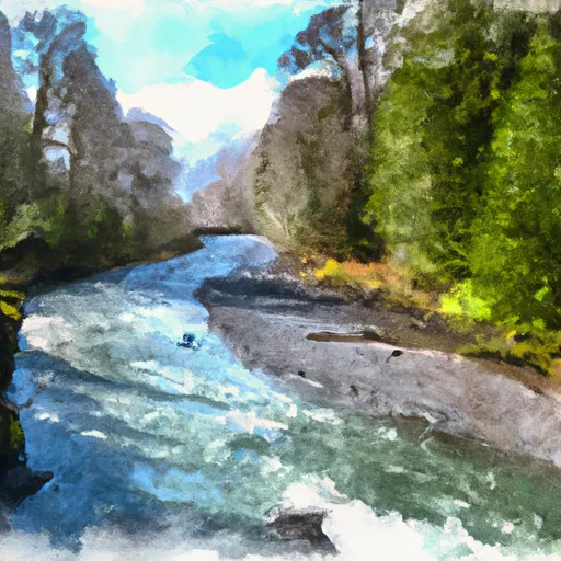


More reservoirs
See all →About Wynoochee Lake Near Grisdale
What is the water level at Wynoochee Lake Near Grisdale Reservoir right now?
As of August 2, 2026, Wynoochee Lake Near Grisdale Reservoir is holding 32,610 ac-ft, about 4114% of normal for this date. Pool elevation and the year-over-year trend are shown above.
Is Wynoochee Lake Near Grisdale Reservoir high or low right now?
Compare the percent-of-normal figure on this page: above 100% means storage is higher than the historical average for the date (a wet year), below 100% means lower (a dry year or drought). The daily-levels chart shows the current trend.
Where does the data for Wynoochee Lake Near Grisdale come from?
Daily storage, pool elevation, and release rates are sourced from USGS, USBR, and USACE monitoring stations. Weather forecast comes from NOAA / yr.no -- the same feed Snoflo's iOS app uses.
How often is the report updated?
Storage observations are updated daily by the operating agency. The 15-day weather forecast refreshes throughout the day. Snoflo caches and renders the most recent observation -- check the "as of" timestamp on the storage card.
What does the Hazard hazard rating mean?
The Corps of Engineers' hazard potential classification grades probable consequences if the dam fails: High = probable loss of human life; Significant = no probable loss of human life but possible economic loss / environmental damage; Low = no probable loss of human life, only minor economic / environmental losses. See the Dam Data Reference card below for the full definitions.
What's "% of normal"?
The current storage value compared to the historical average storage on this calendar day. 100% = right on average; values above 100% mean above-normal storage (wet year); values below mean below-normal (dry year or drought).
Can I get alerts when storage crosses a threshold?
Yes -- alerts are managed in the Snoflo iOS app. Favorite this reservoir, set a threshold, and you'll get a push the moment conditions cross.