
Wynoochee Reservoir Report
Last Updated: January 12, 2026
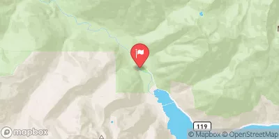
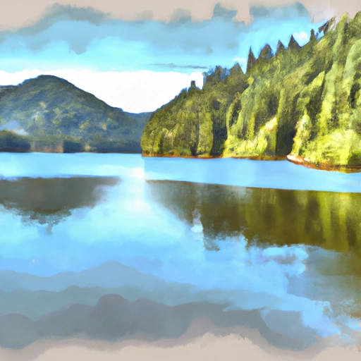
Wynoochee, a gravity dam located in Grays Harbor, Washington, is a key water resource and climate infrastructure owned by the local government.
°F
°F
mph
Wind
%
Humidity
Summary
Built in 1972 by the U.S. Army Corps of Engineers, this dam serves multiple important purposes including water supply, flood risk reduction, hydroelectric power generation, recreation, and fish and wildlife habitat enhancement. With a maximum storage capacity of 76,000 acre-feet and a normal storage capacity of 69,405 acre-feet, Wynoochee plays a crucial role in managing water resources in the region.
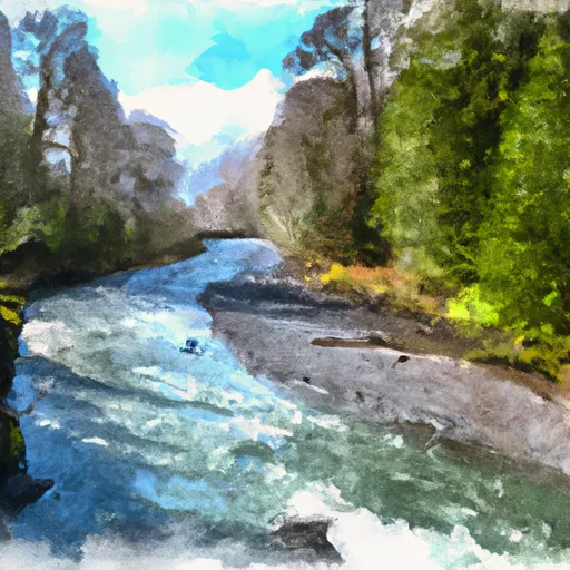
The dam, standing at a height of 175 feet and stretching 1,700 feet in length, has a controlled spillway with a width of 64 feet. The structure is designed to withstand high hazard potential and is regularly inspected by the Federal Energy Regulatory Commission to ensure its safety and functionality. Despite its age, Wynoochee remains a vital component of the local water supply infrastructure, providing essential services to the surrounding community while also supporting ecological and recreational activities along the Wynoochee River.
As climate change continues to impact water resources and infrastructure across the country, the role of dams like Wynoochee in managing water supply, flood risks, and ecosystem health becomes increasingly critical. With its strategic location and multifaceted benefits, Wynoochee stands as a testament to the importance of sustainable water resource management in the face of a changing climate.
Dam Height |
175 |
Hydraulic Height |
170 |
Drainage Area |
41 |
Year Completed |
1972 |
Structural Height |
175 |
Nid Storage |
76000 |
Foundations |
Rock |
Surface Area |
1126 |
Outlet Gates |
Slide (sluice gate) - 2, Tainter (radial) - 2 |
River Or Stream |
Wynoochee River |
Dam Length |
1700 |
Hazard Potential |
High |
Primary Dam Type |
Gravity |
Nid Height |
175 |
Seasonal Comparison
Weather Forecast
Nearby Streamflow Levels
Dam Data Reference
Condition Assessment
SatisfactoryNo existing or potential dam safety deficiencies are recognized. Acceptable performance is expected under all loading conditions (static, hydrologic, seismic) in accordance with the minimum applicable state or federal regulatory criteria or tolerable risk guidelines.
Fair
No existing dam safety deficiencies are recognized for normal operating conditions. Rare or extreme hydrologic and/or seismic events may result in a dam safety deficiency. Risk may be in the range to take further action. Note: Rare or extreme event is defined by the regulatory agency based on their minimum
Poor A dam safety deficiency is recognized for normal operating conditions which may realistically occur. Remedial action is necessary. POOR may also be used when uncertainties exist as to critical analysis parameters which identify a potential dam safety deficiency. Investigations and studies are necessary.
Unsatisfactory
A dam safety deficiency is recognized that requires immediate or emergency remedial action for problem resolution.
Not Rated
The dam has not been inspected, is not under state or federal jurisdiction, or has been inspected but, for whatever reason, has not been rated.
Not Available
Dams for which the condition assessment is restricted to approved government users.
Hazard Potential Classification
HighDams assigned the high hazard potential classification are those where failure or mis-operation will probably cause loss of human life.
Significant
Dams assigned the significant hazard potential classification are those dams where failure or mis-operation results in no probable loss of human life but can cause economic loss, environment damage, disruption of lifeline facilities, or impact other concerns. Significant hazard potential classification dams are often located in predominantly rural or agricultural areas but could be in areas with population and significant infrastructure.
Low
Dams assigned the low hazard potential classification are those where failure or mis-operation results in no probable loss of human life and low economic and/or environmental losses. Losses are principally limited to the owner's property.
Undetermined
Dams for which a downstream hazard potential has not been designated or is not provided.
Not Available
Dams for which the downstream hazard potential is restricted to approved government users.
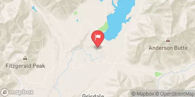
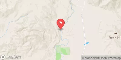
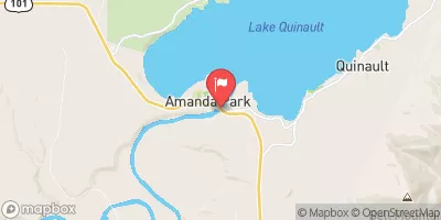
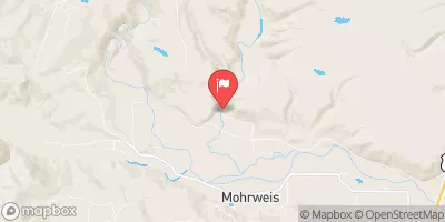
Area Campgrounds
| Location | Reservations | Toilets |
|---|---|---|
 Coho Campground
|
||
 Coho
Coho
|
||
 Cherwoot
|
||
 Chetwoot
|
||
 Satsop Center Campground
|
||
 Wynoochee Falls Campground
|
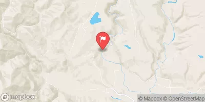
Nearby Reservoirs
 Wynoochee
 Wynoochee Lake Near Grisdale
River Runs
-
 Headwaters And Includes All Tributaries To Confluence With Quinault River
-
 Headwaters And Includes All Tributaries To Confluence With Graves Creek
-
 Headwaters And Includes All Tributaries Downstream From The End Of Graves Creek Road And Confluence With Graves Creek To Western Boundary Of Olympic National Park
-
 Headwaters To Southern Boundary Of Olympic National Park
-
 Headwaters- Includes All Tributaries To Confluence With North Fork Skokomish River