


Bonita Lake Reservoir Report
Last Updated: April 28, 2026
°F
°F
mph
Wind
%
Humidity
Bonita Lake, also known as Lake Bonita, is a private water resource located in Catlettsburg, Kentucky.
Summary
Managed by the Kentucky Division of Water, this recreational lake was completed in 1947 and has a storage capacity of 111 acre-feet, with a normal storage level of 75 acre-feet. The dam, an earth structure standing at 27 feet high and 220 feet long, controls the flow of Chadwick Creek and covers a surface area of 6.5 acres.
Despite its picturesque setting, Bonita Lake has been rated as having a high hazard potential due to poor condition assessment as of June 2018. The dam's spillway, which is uncontrolled and 60 feet wide, adds to the risk associated with the structure. While the lake offers recreational opportunities, such as boating and fishing, its current state highlights the importance of ongoing maintenance and inspection to ensure the safety of both the dam and the surrounding community. Enthusiasts of water resources and climate should keep an eye on future updates regarding Bonita Lake to support its preservation and responsible management.
Regional Streamflow Levels
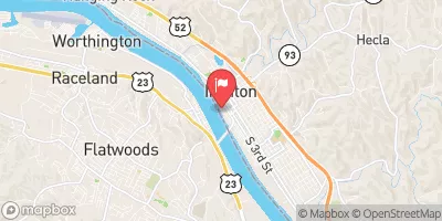 Ohio River At Ironton
|
58800cfs |
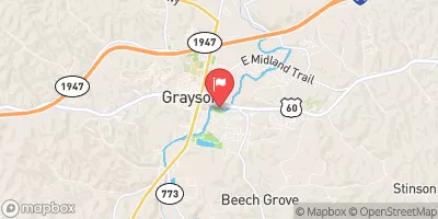 Little Sandy River At Grayson
|
66cfs |
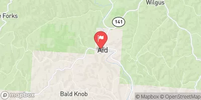 Symmes Creek At Aid Oh
|
66cfs |
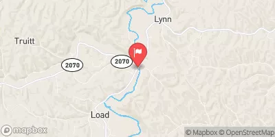 Tygarts Creek Near Greenup
|
29cfs |
 Ohio River At Greenup Dam Near Greenup
|
51800cfs |
 East Fork Twelvepole Creek Near Dunlow
|
8cfs |
15-Day Long Term Forecast
Year Completed |
1947 |
Dam Length |
220 |
Dam Height |
27 |
River Or Stream |
CHADWICK CREEK |
Primary Dam Type |
Earth |
Surface Area |
6.5 |
Drainage Area |
0.32 |
Nid Storage |
111 |
Hazard Potential |
High |
Nid Height |
27 |
Seasonal Comparison
5-Day Hourly Forecast Detail
Dam Data Reference
Condition Assessment
SatisfactoryNo existing or potential dam safety deficiencies are recognized. Acceptable performance is expected under all loading conditions (static, hydrologic, seismic) in accordance with the minimum applicable state or federal regulatory criteria or tolerable risk guidelines.
Fair
No existing dam safety deficiencies are recognized for normal operating conditions. Rare or extreme hydrologic and/or seismic events may result in a dam safety deficiency. Risk may be in the range to take further action. Note: Rare or extreme event is defined by the regulatory agency based on their minimum
Poor A dam safety deficiency is recognized for normal operating conditions which may realistically occur. Remedial action is necessary. POOR may also be used when uncertainties exist as to critical analysis parameters which identify a potential dam safety deficiency. Investigations and studies are necessary.
Unsatisfactory
A dam safety deficiency is recognized that requires immediate or emergency remedial action for problem resolution.
Not Rated
The dam has not been inspected, is not under state or federal jurisdiction, or has been inspected but, for whatever reason, has not been rated.
Not Available
Dams for which the condition assessment is restricted to approved government users.
Hazard Potential Classification
HighDams assigned the high hazard potential classification are those where failure or mis-operation will probably cause loss of human life.
Significant
Dams assigned the significant hazard potential classification are those dams where failure or mis-operation results in no probable loss of human life but can cause economic loss, environment damage, disruption of lifeline facilities, or impact other concerns. Significant hazard potential classification dams are often located in predominantly rural or agricultural areas but could be in areas with population and significant infrastructure.
Low
Dams assigned the low hazard potential classification are those where failure or mis-operation results in no probable loss of human life and low economic and/or environmental losses. Losses are principally limited to the owner's property.
Undetermined
Dams for which a downstream hazard potential has not been designated or is not provided.
Not Available
Dams for which the downstream hazard potential is restricted to approved government users.
 Village South Point