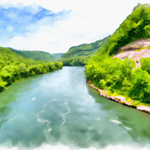
Tug Fork At Statts Mills Reservoir
As of July 17, 2026, Tug Fork At Statts Mills is holding 51 ft of water — 100% of normal storage for this date. Storage data refreshed throughout the day.

Tug Fork At Statts Mills
Tug Fork at Statts Mills, WV in West Virginia is a popular location for outdoor recreation and agriculture. The area has a rich history dating back to the 1800s when the first settlers established farms and mills along the Tug Fork River. The hydrology of the area is characterized by a moderate to high gradient stream system that is typically fed by snowpack and rainfall. The specific surface flow of the river is influenced by several factors, including topography, land use, and weather patterns. The snowpack providers in the area include the Appalachian Mountains, which receive significant amounts of snowfall during the winter months. Agriculture is an important industry in the region, with local farmers utilizing the fertile soil to grow crops and raise livestock. Recreational activities in the area include fishing, boating, hiking, and camping.
Daily levels at Tug Fork At Statts Mills
Storage volume, pool elevation, and total release plotted from the operating agency's daily observations.
Gage height, ft
ft · code 00065
Plan around the weather
Same NOAA / yr.no feed Snoflo's iOS app uses. Watch the precipitation column on the meteogram -- rain on the basin upstream typically lifts inflow 24-72 hours later.
Next 5 days, hour by hour
Temperature line with weather symbols on top, snow + rain accumulation as columns, humidity as a dotted line.
5-day forecast table
Every 3 hours, broken out across temperature, snow, rain, humidity, and wind. Each cell is colour-coded relative to the column min/max.
| Time | Condition | Temp (°F) | Snow (in) | Rain (in) | Humidity (%) | Wind (mps) | Wind dir |
|---|---|---|---|---|---|---|---|
| Loading detailed forecast… | |||||||
15-day temperature & precipitation
Daily temperatures, snow, and rain projected over the next two weeks.
Nearby streamflow gauges
USGS streamgauges around Tug Fork At Statts Mills -- inflows here typically show up in storage 24-72 hours later.
| Streamgauge | Discharge | View |
|---|---|---|
| Pocatalico River At Sissonville | 18 cfs | → |
| W.Fork Little Kanawha River At Rocksdale | 20 cfs | → |
| Little Kanawha River At Palestine | 438 cfs | → |
| Kanawha River At Charleston | 7,500 cfs | → |
| Shade River Near Chester Oh | 15 cfs | → |
| Elk River At Queen Shoals | 348 cfs | → |


About Tug Fork At Statts Mills
Where does the data for Tug Fork At Statts Mills come from?
Daily storage, pool elevation, and release rates are sourced from USGS, USBR, and USACE monitoring stations. Weather forecast comes from NOAA / yr.no -- the same feed Snoflo's iOS app uses.
How often is the report updated?
Storage observations are updated daily by the operating agency. The 15-day weather forecast refreshes throughout the day. Snoflo caches and renders the most recent observation -- check the "as of" timestamp on the storage card.
What does the Hazard hazard rating mean?
The Corps of Engineers' hazard potential classification grades probable consequences if the dam fails: High = probable loss of human life; Significant = no probable loss of human life but possible economic loss / environmental damage; Low = no probable loss of human life, only minor economic / environmental losses. See the Dam Data Reference card below for the full definitions.
What's "% of normal"?
The current storage value compared to the historical average storage on this calendar day. 100% = right on average; values above 100% mean above-normal storage (wet year); values below mean below-normal (dry year or drought).
Can I get alerts when storage crosses a threshold?
Yes -- alerts are managed in the Snoflo iOS app. Favorite this reservoir, set a threshold, and you'll get a push the moment conditions cross.