Devils Lake Near Baraboo Reservoir Report
Nearby: Waterworks Oak Street
Last Updated: February 23, 2026
Devil's Lake is a popular tourist destination located near Baraboo, Wisconsin.
Summary
The lake is situated in a natural basin formed by the Wisconsin Glacier and is surrounded by high bluffs. Historically, the lake has been used for recreational purposes, including swimming, fishing, and boating. Hydrologically, the lake is fed by surface flow and snowpack from the surrounding hills. The lake's water level fluctuates significantly due to changes in precipitation and weather patterns. The lake and surrounding area have also been used for agricultural purposes, primarily for dairy farming, but recent years have seen a shift towards more sustainable agricultural practices. The lake is now protected as a state park and is an important habitat for a variety of plant and animal species.
°F
°F
mph
Wind
%
Humidity
15-Day Weather Outlook
Reservoir Details
| Gage Height, Ft 24hr Change | -0.14% |
| Percent of Normal | 94% |
| Minimum |
4.5 ft
2022-01-26 |
| Maximum |
14.75 ft
2008-06-13 |
| Average | 7 ft |
Seasonal Comparison
Precipitation, Total, In Levels
Gage Height, Ft Levels
5-Day Hourly Forecast Detail
Nearby Streamflow Levels
Dam Data Reference
Condition Assessment
SatisfactoryNo existing or potential dam safety deficiencies are recognized. Acceptable performance is expected under all loading conditions (static, hydrologic, seismic) in accordance with the minimum applicable state or federal regulatory criteria or tolerable risk guidelines.
Fair
No existing dam safety deficiencies are recognized for normal operating conditions. Rare or extreme hydrologic and/or seismic events may result in a dam safety deficiency. Risk may be in the range to take further action. Note: Rare or extreme event is defined by the regulatory agency based on their minimum
Poor A dam safety deficiency is recognized for normal operating conditions which may realistically occur. Remedial action is necessary. POOR may also be used when uncertainties exist as to critical analysis parameters which identify a potential dam safety deficiency. Investigations and studies are necessary.
Unsatisfactory
A dam safety deficiency is recognized that requires immediate or emergency remedial action for problem resolution.
Not Rated
The dam has not been inspected, is not under state or federal jurisdiction, or has been inspected but, for whatever reason, has not been rated.
Not Available
Dams for which the condition assessment is restricted to approved government users.
Hazard Potential Classification
HighDams assigned the high hazard potential classification are those where failure or mis-operation will probably cause loss of human life.
Significant
Dams assigned the significant hazard potential classification are those dams where failure or mis-operation results in no probable loss of human life but can cause economic loss, environment damage, disruption of lifeline facilities, or impact other concerns. Significant hazard potential classification dams are often located in predominantly rural or agricultural areas but could be in areas with population and significant infrastructure.
Low
Dams assigned the low hazard potential classification are those where failure or mis-operation results in no probable loss of human life and low economic and/or environmental losses. Losses are principally limited to the owner's property.
Undetermined
Dams for which a downstream hazard potential has not been designated or is not provided.
Not Available
Dams for which the downstream hazard potential is restricted to approved government users.
Area Campgrounds
| Location | Reservations | Toilets |
|---|---|---|
 Devil’s Lake State Park Campgrounds
|
||
 VFW Campground
|
||
 Dell Boo Campground
|
||
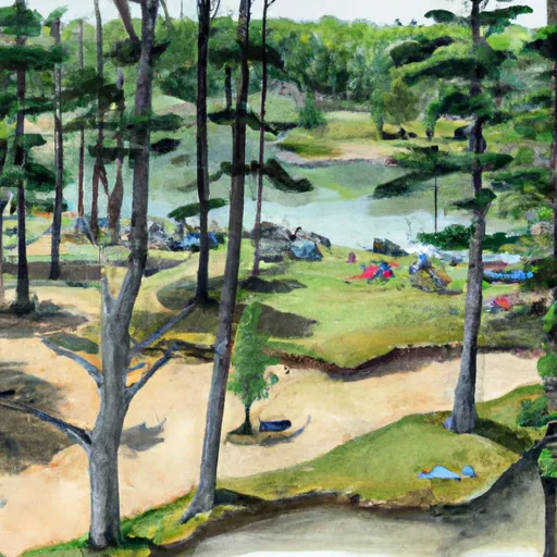 Mirror Lake State Park
|
||
 Bluewater Bay Campground
|
||
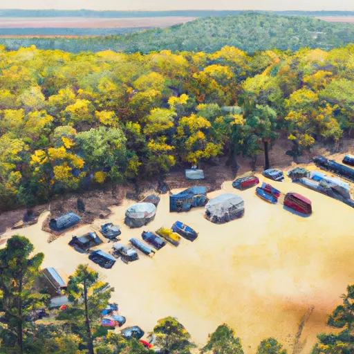 Sandstone Ridge Campground
|

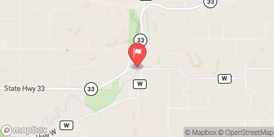
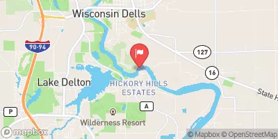

 Linen Mill
 Devils Lake Near Baraboo
 Devils Lake -- State Park