
Taplin Dam Reservoir Report
Nearby: G-3 Pond Clausen Dam
Last Updated: January 8, 2026
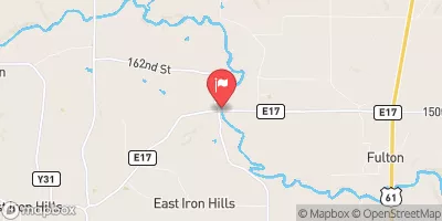
Taplin Dam, located on the Wapsipinicon River in Clinton, Iowa, is a privately owned structure designed by the USDA NRCS.
°F
°F
mph
Wind
%
Humidity
Summary
Completed in 1999, this earth dam serves multiple purposes, including fire protection and creating a small fish pond. With a height of 28 feet and a length of 315 feet, Taplin Dam has a storage capacity of 46 acre-feet and covers a surface area of 4.2 acres.
Managed by the Iowa Department of Natural Resources, Taplin Dam is regulated, inspected, and enforced by state authorities. Despite its low hazard potential, the dam is considered to have a moderate risk level, with no official condition assessment rating. Although no emergency action plan is currently in place, the dam meets state permitting and inspection requirements, ensuring its safety and functionality for the surrounding area.
Overall, Taplin Dam represents a vital water resource structure in Iowa, providing essential services for fire protection and wildlife habitat. With its strategic location on the Wapsipinicon River, the dam plays a key role in managing water resources and supporting environmental conservation efforts in the region.
Year Completed |
1999 |
Dam Length |
315 |
Dam Height |
28 |
River Or Stream |
TR- BROPHYS CREEK |
Primary Dam Type |
Earth |
Surface Area |
4.2 |
Drainage Area |
0.13 |
Nid Storage |
46 |
Hazard Potential |
Low |
Foundations |
Soil |
Nid Height |
28 |
Seasonal Comparison
Weather Forecast
Nearby Streamflow Levels
 Mississippi River At Clinton
|
32700cfs |
 Wapsipinicon River Near De Witt
|
559cfs |
 Maquoketa River Near Maquoketa
|
569cfs |
 Apple River Near Hanover
|
110cfs |
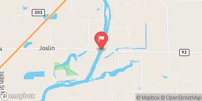 Rock River Near Joslin
|
5310cfs |
 North Fork Maquoketa River Near Fulton
|
245cfs |
Dam Data Reference
Condition Assessment
SatisfactoryNo existing or potential dam safety deficiencies are recognized. Acceptable performance is expected under all loading conditions (static, hydrologic, seismic) in accordance with the minimum applicable state or federal regulatory criteria or tolerable risk guidelines.
Fair
No existing dam safety deficiencies are recognized for normal operating conditions. Rare or extreme hydrologic and/or seismic events may result in a dam safety deficiency. Risk may be in the range to take further action. Note: Rare or extreme event is defined by the regulatory agency based on their minimum
Poor A dam safety deficiency is recognized for normal operating conditions which may realistically occur. Remedial action is necessary. POOR may also be used when uncertainties exist as to critical analysis parameters which identify a potential dam safety deficiency. Investigations and studies are necessary.
Unsatisfactory
A dam safety deficiency is recognized that requires immediate or emergency remedial action for problem resolution.
Not Rated
The dam has not been inspected, is not under state or federal jurisdiction, or has been inspected but, for whatever reason, has not been rated.
Not Available
Dams for which the condition assessment is restricted to approved government users.
Hazard Potential Classification
HighDams assigned the high hazard potential classification are those where failure or mis-operation will probably cause loss of human life.
Significant
Dams assigned the significant hazard potential classification are those dams where failure or mis-operation results in no probable loss of human life but can cause economic loss, environment damage, disruption of lifeline facilities, or impact other concerns. Significant hazard potential classification dams are often located in predominantly rural or agricultural areas but could be in areas with population and significant infrastructure.
Low
Dams assigned the low hazard potential classification are those where failure or mis-operation results in no probable loss of human life and low economic and/or environmental losses. Losses are principally limited to the owner's property.
Undetermined
Dams for which a downstream hazard potential has not been designated or is not provided.
Not Available
Dams for which the downstream hazard potential is restricted to approved government users.
Area Campgrounds
| Location | Reservations | Toilets |
|---|---|---|
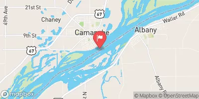
 Army Corps of Engineers' Causeway
|
||
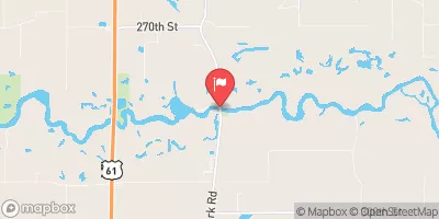
 South Sabula Lakes County Park
|
||
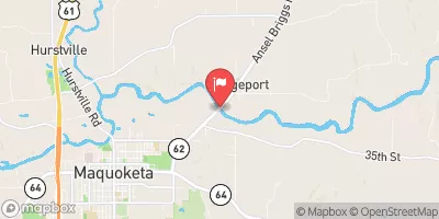
 Rock Creek County Campground
|
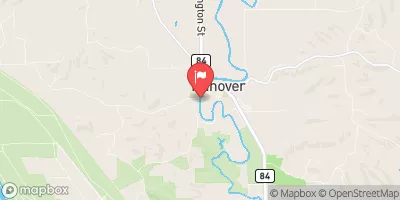
 Taplin Dam
 30th Avenue North Clinton