


Peavy Falls Reservoir Report
Last Updated: April 23, 2026
Nearby: Michigamme Falls Brule
°F
°F
mph
Wind
%
Humidity
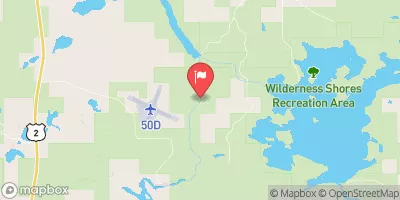
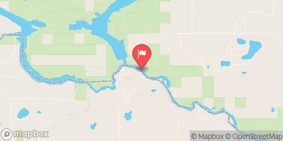
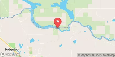
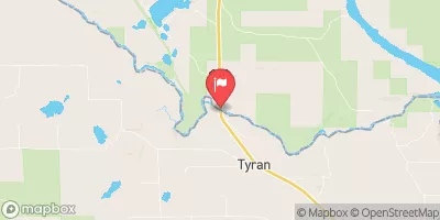
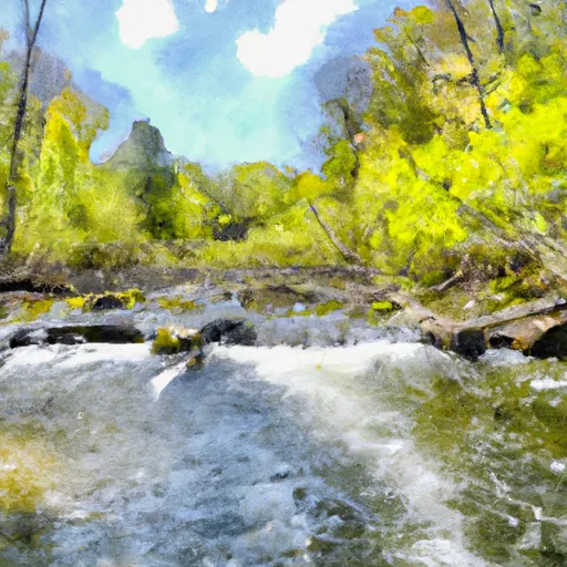
Peavy Falls, also known as Peavy Pond, is a captivating hydroelectric structure located in Iron Mountain, Michigan.
Summary
Built in 1943 by Holland Ackerman Holland, this concrete dam stands at a towering 78 feet in height with a hydraulic height of 96 feet, making it a remarkable feat of engineering. With a normal storage capacity of 34,250 acre-feet and a surface area of 3,160 acres, Peavy Falls plays a crucial role in providing hydroelectric power and recreational opportunities to the surrounding area.
Situated on the Michigamme River and managed by the Federal Energy Regulatory Commission, Peavy Falls boasts a controlled spillway with a width of 82 feet and a maximum discharge capacity of 15,500 cubic feet per second. Despite its high hazard potential, the dam's risk assessment is rated as very high, indicating the need for vigilant monitoring and management. With its striking design and significant contribution to water resource management, Peavy Falls stands as a testament to the intersection of human innovation and environmental sustainability in the face of climate challenges.
For water resource and climate enthusiasts, Peavy Falls serves as a fascinating example of the intricate balance between harnessing renewable energy sources and protecting natural ecosystems. As a key player in the region's energy infrastructure and water management system, this hydroelectric structure represents a harmonious blend of functionality and environmental stewardship. Its rich history, impressive specifications, and critical role in both energy production and recreational activities make Peavy Falls a must-visit destination for those interested in the intersection of water resources, climate resilience, and sustainable development.
Regional Streamflow Levels
 Paint River Nr Alpha
|
2150cfs |
 Menominee River Near Florence
|
8860cfs |
 Brule River Near Commonwealth
|
3110cfs |
 Brule River At Us Highway 2 Near Florence
|
934cfs |
 Michigamme River Near Crystal Falls
|
5150cfs |
 Menominee River At Twin Falls Near Iron Mt
|
3420cfs |
15-Day Long Term Forecast
Year Completed |
1943 |
Dam Length |
770 |
Dam Height |
78 |
River Or Stream |
Michigamme River |
Primary Dam Type |
Concrete |
Surface Area |
3160 |
Hydraulic Height |
96 |
Drainage Area |
715 |
Nid Storage |
34250 |
Structural Height |
73.8 |
Outlet Gates |
Slide (sluice gate) - 2, Tainter (radial) - 3 |
Hazard Potential |
High |
Nid Height |
96 |
Seasonal Comparison
5-Day Hourly Forecast Detail
Dam Data Reference
Condition Assessment
SatisfactoryNo existing or potential dam safety deficiencies are recognized. Acceptable performance is expected under all loading conditions (static, hydrologic, seismic) in accordance with the minimum applicable state or federal regulatory criteria or tolerable risk guidelines.
Fair
No existing dam safety deficiencies are recognized for normal operating conditions. Rare or extreme hydrologic and/or seismic events may result in a dam safety deficiency. Risk may be in the range to take further action. Note: Rare or extreme event is defined by the regulatory agency based on their minimum
Poor A dam safety deficiency is recognized for normal operating conditions which may realistically occur. Remedial action is necessary. POOR may also be used when uncertainties exist as to critical analysis parameters which identify a potential dam safety deficiency. Investigations and studies are necessary.
Unsatisfactory
A dam safety deficiency is recognized that requires immediate or emergency remedial action for problem resolution.
Not Rated
The dam has not been inspected, is not under state or federal jurisdiction, or has been inspected but, for whatever reason, has not been rated.
Not Available
Dams for which the condition assessment is restricted to approved government users.
Hazard Potential Classification
HighDams assigned the high hazard potential classification are those where failure or mis-operation will probably cause loss of human life.
Significant
Dams assigned the significant hazard potential classification are those dams where failure or mis-operation results in no probable loss of human life but can cause economic loss, environment damage, disruption of lifeline facilities, or impact other concerns. Significant hazard potential classification dams are often located in predominantly rural or agricultural areas but could be in areas with population and significant infrastructure.
Low
Dams assigned the low hazard potential classification are those where failure or mis-operation results in no probable loss of human life and low economic and/or environmental losses. Losses are principally limited to the owner's property.
Undetermined
Dams for which a downstream hazard potential has not been designated or is not provided.
Not Available
Dams for which the downstream hazard potential is restricted to approved government users.
Area Campgrounds
| Location | Reservations | Toilets |
|---|---|---|
 Glidden Lake State Forest Campground
|
||
 Paint River Hills Campground
|
||
 Summer Breeze Campground
|
||
 River Bends Campground
|
 Brule River/Menominee River -- Access
 Mainstem, Easternforest Boundary In Sec 1, T44N, R35W To City Of Crystal Falls
 Brule Lake In Ne1/4 Sec 15, T41N, R13E To Forest Boundary In Se1/4 Sec 31, T41N, R17E