
Chez Pond Reservoir Report
Nearby: French River Headwaters Hartley Pond
Last Updated: January 10, 2026
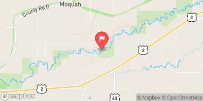
Chez Pond, located in St.
°F
°F
mph
Wind
%
Humidity
Summary
Louis County, Minnesota, is a privately owned Earth dam constructed in 1973 by the NRCS for the primary purpose of Fish and Wildlife Pond. The dam stands at 24 feet in height with a length of 450 feet, creating a reservoir with a maximum storage capacity of 34 acre-feet and a normal storage of 17 acre-feet. The pond covers an area of 3 acres and has a drainage area of 0.8 square miles, with a controlled spillway type designed to handle a maximum discharge of 400 cubic feet per second.
Despite its low hazard potential, Chez Pond is currently in poor condition as of the last assessment conducted in July 2015. The risk assessment for the dam indicates a very high risk level, with a DSAC assigned rating of "Very High (1)". The dam is regulated by the Minnesota Department of Natural Resources and undergoes regular inspections, with the last inspection taking place in July 2015. With its location on the Talmadge River, this dam is an essential feature for fish and wildlife habitat in the area, making its maintenance and upkeep crucial for the surrounding ecosystem and water resources.
Year Completed |
1973 |
Dam Length |
450 |
Dam Height |
24 |
River Or Stream |
TALMADGE RIVER-TR |
Primary Dam Type |
Earth |
Surface Area |
3 |
Drainage Area |
0.8 |
Nid Storage |
34 |
Structural Height |
26 |
Hazard Potential |
Low |
Foundations |
Unlisted/Unknown |
Nid Height |
26 |
Seasonal Comparison
Weather Forecast
Nearby Streamflow Levels
Dam Data Reference
Condition Assessment
SatisfactoryNo existing or potential dam safety deficiencies are recognized. Acceptable performance is expected under all loading conditions (static, hydrologic, seismic) in accordance with the minimum applicable state or federal regulatory criteria or tolerable risk guidelines.
Fair
No existing dam safety deficiencies are recognized for normal operating conditions. Rare or extreme hydrologic and/or seismic events may result in a dam safety deficiency. Risk may be in the range to take further action. Note: Rare or extreme event is defined by the regulatory agency based on their minimum
Poor A dam safety deficiency is recognized for normal operating conditions which may realistically occur. Remedial action is necessary. POOR may also be used when uncertainties exist as to critical analysis parameters which identify a potential dam safety deficiency. Investigations and studies are necessary.
Unsatisfactory
A dam safety deficiency is recognized that requires immediate or emergency remedial action for problem resolution.
Not Rated
The dam has not been inspected, is not under state or federal jurisdiction, or has been inspected but, for whatever reason, has not been rated.
Not Available
Dams for which the condition assessment is restricted to approved government users.
Hazard Potential Classification
HighDams assigned the high hazard potential classification are those where failure or mis-operation will probably cause loss of human life.
Significant
Dams assigned the significant hazard potential classification are those dams where failure or mis-operation results in no probable loss of human life but can cause economic loss, environment damage, disruption of lifeline facilities, or impact other concerns. Significant hazard potential classification dams are often located in predominantly rural or agricultural areas but could be in areas with population and significant infrastructure.
Low
Dams assigned the low hazard potential classification are those where failure or mis-operation results in no probable loss of human life and low economic and/or environmental losses. Losses are principally limited to the owner's property.
Undetermined
Dams for which a downstream hazard potential has not been designated or is not provided.
Not Available
Dams for which the downstream hazard potential is restricted to approved government users.
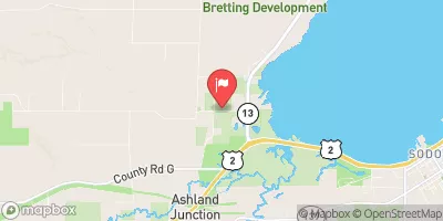
Area Campgrounds
| Location | Reservations | Toilets |
|---|---|---|
 Lone Tree
|
||
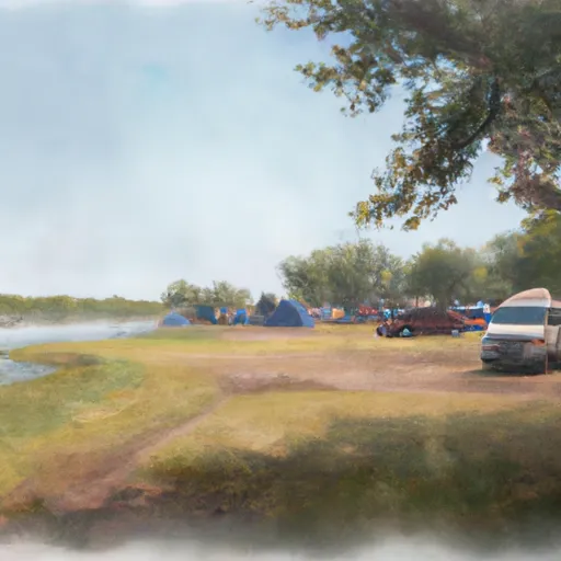 Heron Pond
|
||
 Bald Eagle Camp site
|
||
 White Pines Camp Stie
|
||
 Sucker River Campsite
|
||
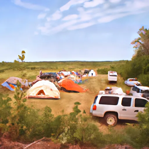 Fox Farm Beaver Pound Campsite
|
 Chez Pond