
Warrington Reservoir Report
Nearby: Franklin Pond Voth Detention No. 2
Last Updated: December 6, 2025
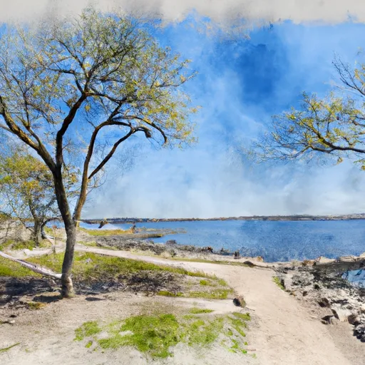
Located in Red Wing, Minnesota, the Warrington dam stands as a crucial asset in flood risk reduction along the Spring Creek-TR river system.
°F
°F
mph
Wind
%
Humidity
Summary
Completed in 1983, this private earth dam boasts a height of 36 feet and a storage capacity of 92.2 acre-feet, serving as a vital component in the state's water resource management strategy. Despite its low hazard potential, the dam is subject to regular inspections by the Minnesota Department of Natural Resources to ensure its fair condition and operational effectiveness.
Managed by private owners, Warrington dam plays a pivotal role in safeguarding the surrounding communities from potential flooding events, showcasing the collaborative efforts between governmental agencies and private entities in maintaining water infrastructure. With a drainage area of 752 square miles and a maximum discharge capacity of 50.6 cubic feet per second, this structure exemplifies the importance of integrated water resource management practices in mitigating flood risks and ensuring the sustainable utilization of water resources in the region. As a regulated and permitted facility, Warrington dam stands as a testament to the proactive approach towards climate resilience and water security in Minnesota.
As a vital piece of infrastructure in Goodhue County, Warrington dam not only serves as a flood risk reduction asset but also highlights the importance of effective dam management practices in ensuring public safety and environmental protection. With its buttress core design and state-regulated status, this dam represents a tangible commitment to water resource stewardship and climate adaptation in the face of changing environmental conditions. By adhering to rigorous inspection and regulatory protocols, the Warrington dam exemplifies the intersection of water resource management and climate resilience, setting a precedent for sustainable water infrastructure development in Minnesota.
Year Completed |
1983 |
Dam Height |
36 |
River Or Stream |
SPRING CREEK-TR |
Primary Dam Type |
Earth |
Drainage Area |
752 |
Nid Storage |
92.2 |
Hazard Potential |
Low |
Foundations |
Unlisted/Unknown |
Nid Height |
36 |
Seasonal Comparison
Weather Forecast
Nearby Streamflow Levels
 Cannon River At Welch
|
384cfs |
 Mississippi River At Red Wing
|
12400cfs |
 Mississippi River At Prescott
|
12900cfs |
 Mississippi River Below L&D #2 At Hastings
|
8020cfs |
 Kinnickinnic River Near River Falls
|
115cfs |
 Vermillion River Near Empire
|
40cfs |
Dam Data Reference
Condition Assessment
SatisfactoryNo existing or potential dam safety deficiencies are recognized. Acceptable performance is expected under all loading conditions (static, hydrologic, seismic) in accordance with the minimum applicable state or federal regulatory criteria or tolerable risk guidelines.
Fair
No existing dam safety deficiencies are recognized for normal operating conditions. Rare or extreme hydrologic and/or seismic events may result in a dam safety deficiency. Risk may be in the range to take further action. Note: Rare or extreme event is defined by the regulatory agency based on their minimum
Poor A dam safety deficiency is recognized for normal operating conditions which may realistically occur. Remedial action is necessary. POOR may also be used when uncertainties exist as to critical analysis parameters which identify a potential dam safety deficiency. Investigations and studies are necessary.
Unsatisfactory
A dam safety deficiency is recognized that requires immediate or emergency remedial action for problem resolution.
Not Rated
The dam has not been inspected, is not under state or federal jurisdiction, or has been inspected but, for whatever reason, has not been rated.
Not Available
Dams for which the condition assessment is restricted to approved government users.
Hazard Potential Classification
HighDams assigned the high hazard potential classification are those where failure or mis-operation will probably cause loss of human life.
Significant
Dams assigned the significant hazard potential classification are those dams where failure or mis-operation results in no probable loss of human life but can cause economic loss, environment damage, disruption of lifeline facilities, or impact other concerns. Significant hazard potential classification dams are often located in predominantly rural or agricultural areas but could be in areas with population and significant infrastructure.
Low
Dams assigned the low hazard potential classification are those where failure or mis-operation results in no probable loss of human life and low economic and/or environmental losses. Losses are principally limited to the owner's property.
Undetermined
Dams for which a downstream hazard potential has not been designated or is not provided.
Not Available
Dams for which the downstream hazard potential is restricted to approved government users.
 Warrington
 Mississippi River -- Hager City
 Featherstone Park
 Pottery Pond
 Bay Point Park
 Barn Bluff Park
 Soliders Memorial Park