
Goddard Ranch No.1 Reservoir Report
Last Updated: January 11, 2026
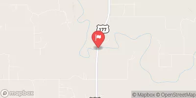
Located in Carter, Oklahoma, the Goddard Ranch No.1 is a privately owned earth dam constructed in 1934 with a primary purpose of "Other." Standing at a height of 25 feet and spanning 250 feet in length, this dam holds a maximum storage capacity of 100 acre-feet with a normal storage of 80 acre-feet.
°F
°F
mph
Wind
%
Humidity
Summary
The dam is regulated by the Oklahoma Water Resources Board and undergoes regular state inspections, enforcement, and permitting.
Sitting along the TR-Washita River, the Goddard Ranch No.1 dam has a controlled spillway with a width of 1 foot and is equipped with a single valve outlet gate. Despite its low hazard potential, the dam is classified as having a very high risk level, indicating the need for thorough risk management measures. The dam's condition remains unrated as of the last inspection in July 1997, with an inspection frequency of 5 years. While an emergency action plan and inundation maps are not specified, the dam is designed to mitigate potential risks effectively.
In the midst of the beautiful Oklahoma landscape, the Goddard Ranch No.1 serves as a key water resource structure in the region, ensuring water supply and flood control. With its historical significance and vital role in water management, this dam stands as a testament to human ingenuity and the ongoing efforts to balance water resource utilization with environmental conservation in the face of changing climatic conditions.
Year Completed |
1934 |
Dam Length |
250 |
Dam Height |
25 |
River Or Stream |
TR-WASHITA RIVER |
Primary Dam Type |
Earth |
Surface Area |
8 |
Hydraulic Height |
24 |
Nid Storage |
100 |
Structural Height |
25 |
Outlet Gates |
Valve - 1 |
Hazard Potential |
Low |
Foundations |
Soil |
Nid Height |
25 |
Seasonal Comparison
Weather Forecast
Nearby Streamflow Levels
 Washita River Near Dickson
|
322cfs |
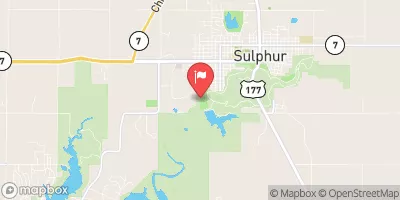 Rock Creek At Sulphur
|
7cfs |
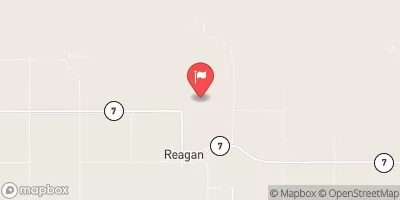 Pennington Creek Near Reagan
|
8cfs |
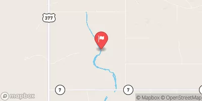 Blue River Near Connerville
|
40cfs |
 Washita River Near Pauls Valley
|
350cfs |
 Mud Creek Near Courtney
|
0cfs |
Dam Data Reference
Condition Assessment
SatisfactoryNo existing or potential dam safety deficiencies are recognized. Acceptable performance is expected under all loading conditions (static, hydrologic, seismic) in accordance with the minimum applicable state or federal regulatory criteria or tolerable risk guidelines.
Fair
No existing dam safety deficiencies are recognized for normal operating conditions. Rare or extreme hydrologic and/or seismic events may result in a dam safety deficiency. Risk may be in the range to take further action. Note: Rare or extreme event is defined by the regulatory agency based on their minimum
Poor A dam safety deficiency is recognized for normal operating conditions which may realistically occur. Remedial action is necessary. POOR may also be used when uncertainties exist as to critical analysis parameters which identify a potential dam safety deficiency. Investigations and studies are necessary.
Unsatisfactory
A dam safety deficiency is recognized that requires immediate or emergency remedial action for problem resolution.
Not Rated
The dam has not been inspected, is not under state or federal jurisdiction, or has been inspected but, for whatever reason, has not been rated.
Not Available
Dams for which the condition assessment is restricted to approved government users.
Hazard Potential Classification
HighDams assigned the high hazard potential classification are those where failure or mis-operation will probably cause loss of human life.
Significant
Dams assigned the significant hazard potential classification are those dams where failure or mis-operation results in no probable loss of human life but can cause economic loss, environment damage, disruption of lifeline facilities, or impact other concerns. Significant hazard potential classification dams are often located in predominantly rural or agricultural areas but could be in areas with population and significant infrastructure.
Low
Dams assigned the low hazard potential classification are those where failure or mis-operation results in no probable loss of human life and low economic and/or environmental losses. Losses are principally limited to the owner's property.
Undetermined
Dams for which a downstream hazard potential has not been designated or is not provided.
Not Available
Dams for which the downstream hazard potential is restricted to approved government users.
 Goddard Youth Camp
 Buckhorn Campground Loop B
 Bukhorn Campground Loop A
 Buckhorn - Chickasaw National Rec Area
 Buckhorn Campground Loop D
 Buckhorn Campground Loop C
 Goddard Ranch No.1