Amacoy Reservoir Report
Last Updated: February 23, 2026
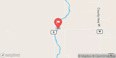
Amacoy is a flood risk reduction structure located in Rusk, Wisconsin, on the TR CHIPPEWA river.
Summary
Built in 1967 by the USDA NRCS, this earth dam stands at a height of 20 feet and has a storage capacity of 5400 acre-feet. With a maximum discharge of 740 cubic feet per second, Amacoy serves the primary purpose of flood risk reduction while also providing recreational opportunities in the area.
Managed by the Wisconsin Department of Natural Resources, Amacoy is regulated, inspected, and enforced by state agencies to ensure its safety and functionality. Despite being classified as having a low hazard potential, the dam is considered to have moderate risk factors that are continuously monitored and managed. Although its condition assessment is currently not rated, the structure undergoes regular inspections every 10 years to maintain its integrity.
Located within the Detroit District of the US Army Corps of Engineers, Amacoy has not been modified since its completion and does not have associated structures or outlet gates. With its uncontrolled spillway type and moderate risk assessment, Amacoy stands as a vital water resource management tool in the region, embodying a balance between flood protection and recreational use.
°F
°F
mph
Wind
%
Humidity
15-Day Weather Outlook
Year Completed |
1967 |
Dam Length |
300 |
Dam Height |
20 |
River Or Stream |
TR CHIPPEWA |
Primary Dam Type |
Earth |
Surface Area |
278 |
Hydraulic Height |
3 |
Drainage Area |
5.3 |
Nid Storage |
5400 |
Structural Height |
20 |
Hazard Potential |
Low |
Nid Height |
20 |
Seasonal Comparison
5-Day Hourly Forecast Detail
Nearby Streamflow Levels
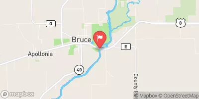 Chippewa River Near Bruce
|
668cfs |
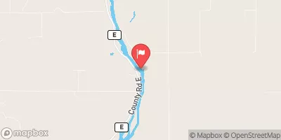 Flambeau River Near Bruce
|
1120cfs |
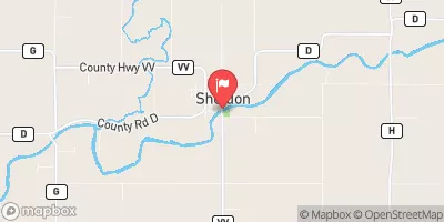 Jump River At Sheldon
|
155cfs |
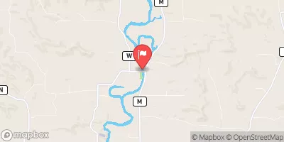 Red Cedar River Near Colfax
|
593cfs |
 Chippewa River At Bishops Bridge Near Winter
|
176cfs |
 Chippewa River At Chippewa Falls
|
3910cfs |
Dam Data Reference
Condition Assessment
SatisfactoryNo existing or potential dam safety deficiencies are recognized. Acceptable performance is expected under all loading conditions (static, hydrologic, seismic) in accordance with the minimum applicable state or federal regulatory criteria or tolerable risk guidelines.
Fair
No existing dam safety deficiencies are recognized for normal operating conditions. Rare or extreme hydrologic and/or seismic events may result in a dam safety deficiency. Risk may be in the range to take further action. Note: Rare or extreme event is defined by the regulatory agency based on their minimum
Poor A dam safety deficiency is recognized for normal operating conditions which may realistically occur. Remedial action is necessary. POOR may also be used when uncertainties exist as to critical analysis parameters which identify a potential dam safety deficiency. Investigations and studies are necessary.
Unsatisfactory
A dam safety deficiency is recognized that requires immediate or emergency remedial action for problem resolution.
Not Rated
The dam has not been inspected, is not under state or federal jurisdiction, or has been inspected but, for whatever reason, has not been rated.
Not Available
Dams for which the condition assessment is restricted to approved government users.
Hazard Potential Classification
HighDams assigned the high hazard potential classification are those where failure or mis-operation will probably cause loss of human life.
Significant
Dams assigned the significant hazard potential classification are those dams where failure or mis-operation results in no probable loss of human life but can cause economic loss, environment damage, disruption of lifeline facilities, or impact other concerns. Significant hazard potential classification dams are often located in predominantly rural or agricultural areas but could be in areas with population and significant infrastructure.
Low
Dams assigned the low hazard potential classification are those where failure or mis-operation results in no probable loss of human life and low economic and/or environmental losses. Losses are principally limited to the owner's property.
Undetermined
Dams for which a downstream hazard potential has not been designated or is not provided.
Not Available
Dams for which the downstream hazard potential is restricted to approved government users.
Area Campgrounds
| Location | Reservations | Toilets |
|---|---|---|
 Bruce Village Park
|
||
 Audie Lake County Park
|
||
 Morris-Erickson Campground
|

 Amacoy
 Chippewa River -- Access at Fletcher Road Town Of Thornapple