Summary
The earth dam stands at a height of 11 feet and has a normal storage capacity of 35 acre-feet, offering ample space for outdoor activities such as fishing, boating, and wildlife viewing. Situated at S4, T36N, R9W, the flowage is a tributary to Pigeon Creek, contributing to the natural beauty and ecological diversity of the area.
With a low hazard potential and a moderate risk assessment, Pigeon Creek Flowage is a well-maintained water resource that prioritizes safety and environmental conservation. Although last inspected in 2011, the flowage continues to be regulated and monitored by the Wisconsin Department of Natural Resources (WIDNR) to ensure compliance with state guidelines and standards. Despite not being rated for condition assessment, the flowage remains a popular destination for outdoor enthusiasts seeking a serene and picturesque setting to enjoy nature and engage in outdoor activities.
Water resource and climate enthusiasts will appreciate Pigeon Creek Flowage for its tranquil ambiance and recreational offerings amidst the natural beauty of Wisconsin. As a locally managed reservoir with a focus on conservation and public enjoyment, the flowage serves as a valuable asset for the community, providing a sanctuary for wildlife and a haven for outdoor recreation. With its controlled spillway and low hazard potential, Pigeon Creek Flowage stands as a testament to responsible water management practices and sustainable use of natural resources in a changing climate.
°F
°F
mph
Wind
%
Humidity
15-Day Weather Outlook
Year Completed |
1967 |
Dam Length |
200 |
Dam Height |
11 |
River Or Stream |
Tributary to Pigeon Creek |
Primary Dam Type |
Earth |
Surface Area |
15 |
Hydraulic Height |
7 |
Nid Storage |
100 |
Structural Height |
11 |
Hazard Potential |
Low |
Nid Height |
11 |
Seasonal Comparison
5-Day Hourly Forecast Detail
Nearby Streamflow Levels
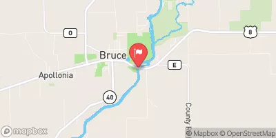 Chippewa River Near Bruce
|
668cfs |
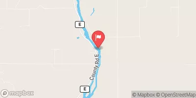 Flambeau River Near Bruce
|
1120cfs |
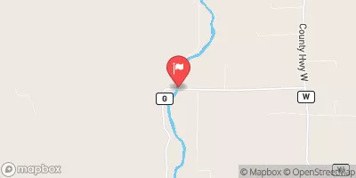 Chippewa River At Bishops Bridge Near Winter
|
176cfs |
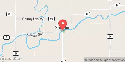 Jump River At Sheldon
|
155cfs |
 Namekagon River At Leonards
|
66cfs |
 Red Cedar River Near Colfax
|
593cfs |
Dam Data Reference
Condition Assessment
SatisfactoryNo existing or potential dam safety deficiencies are recognized. Acceptable performance is expected under all loading conditions (static, hydrologic, seismic) in accordance with the minimum applicable state or federal regulatory criteria or tolerable risk guidelines.
Fair
No existing dam safety deficiencies are recognized for normal operating conditions. Rare or extreme hydrologic and/or seismic events may result in a dam safety deficiency. Risk may be in the range to take further action. Note: Rare or extreme event is defined by the regulatory agency based on their minimum
Poor A dam safety deficiency is recognized for normal operating conditions which may realistically occur. Remedial action is necessary. POOR may also be used when uncertainties exist as to critical analysis parameters which identify a potential dam safety deficiency. Investigations and studies are necessary.
Unsatisfactory
A dam safety deficiency is recognized that requires immediate or emergency remedial action for problem resolution.
Not Rated
The dam has not been inspected, is not under state or federal jurisdiction, or has been inspected but, for whatever reason, has not been rated.
Not Available
Dams for which the condition assessment is restricted to approved government users.
Hazard Potential Classification
HighDams assigned the high hazard potential classification are those where failure or mis-operation will probably cause loss of human life.
Significant
Dams assigned the significant hazard potential classification are those dams where failure or mis-operation results in no probable loss of human life but can cause economic loss, environment damage, disruption of lifeline facilities, or impact other concerns. Significant hazard potential classification dams are often located in predominantly rural or agricultural areas but could be in areas with population and significant infrastructure.
Low
Dams assigned the low hazard potential classification are those where failure or mis-operation results in no probable loss of human life and low economic and/or environmental losses. Losses are principally limited to the owner's property.
Undetermined
Dams for which a downstream hazard potential has not been designated or is not provided.
Not Available
Dams for which the downstream hazard potential is restricted to approved government users.
Area Campgrounds
| Location | Reservations | Toilets |
|---|---|---|
 Doolittle Park
|
||
 Doolittle Park Campground
|
||
 Murphy Flowage Park
|
||
 Waldo Carlson Park
|
||
 Audie Lake County Park
|
||
 Sawmill Lake Campground
|

 Pigeon Creek Flowage
 Birch Lake -- Access Nr Doolittle Rd