Sugar Camp Reservoir Report
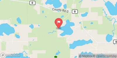
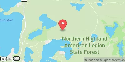
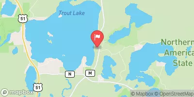
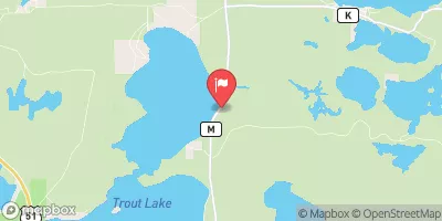
Nearby: Little St Germain Otter Rapids
Last Updated: February 22, 2026
Sugar Camp is a hydroelectric dam located in Rhinelander, Wisconsin, on the picturesque Sugar Camp Creek.
Summary
Built in 1908, the dam serves the primary purposes of flood risk reduction and hydroelectric power generation. Standing at 9.5 feet tall with a length of 292 feet, Sugar Camp has a storage capacity of 24,793 acre-feet and a maximum discharge rate of 398 cubic feet per second.
Managed by the Federal Energy Regulatory Commission, Sugar Camp has a controlled spillway with a width of 8 feet and a low hazard potential. Despite its age, the dam's risk assessment indicates a very high risk level, requiring careful monitoring and management measures. The dam's emergency action plan was last revised in 2018, ensuring readiness in case of unforeseen events. For water resource and climate enthusiasts, Sugar Camp offers a fascinating glimpse into the intersection of historic infrastructure and sustainable energy production.
°F
°F
mph
Wind
%
Humidity
15-Day Weather Outlook
Year Completed |
1908 |
Dam Length |
292 |
Dam Height |
9.5 |
River Or Stream |
Sugar Camp Creek |
Primary Dam Type |
Gravity |
Hydraulic Height |
6.1 |
Drainage Area |
48.4 |
Nid Storage |
24793 |
Outlet Gates |
Tainter (radial) - 1 |
Hazard Potential |
Low |
Foundations |
Soil |
Nid Height |
10 |
Seasonal Comparison
5-Day Hourly Forecast Detail
Nearby Streamflow Levels
Dam Data Reference
Condition Assessment
SatisfactoryNo existing or potential dam safety deficiencies are recognized. Acceptable performance is expected under all loading conditions (static, hydrologic, seismic) in accordance with the minimum applicable state or federal regulatory criteria or tolerable risk guidelines.
Fair
No existing dam safety deficiencies are recognized for normal operating conditions. Rare or extreme hydrologic and/or seismic events may result in a dam safety deficiency. Risk may be in the range to take further action. Note: Rare or extreme event is defined by the regulatory agency based on their minimum
Poor A dam safety deficiency is recognized for normal operating conditions which may realistically occur. Remedial action is necessary. POOR may also be used when uncertainties exist as to critical analysis parameters which identify a potential dam safety deficiency. Investigations and studies are necessary.
Unsatisfactory
A dam safety deficiency is recognized that requires immediate or emergency remedial action for problem resolution.
Not Rated
The dam has not been inspected, is not under state or federal jurisdiction, or has been inspected but, for whatever reason, has not been rated.
Not Available
Dams for which the condition assessment is restricted to approved government users.
Hazard Potential Classification
HighDams assigned the high hazard potential classification are those where failure or mis-operation will probably cause loss of human life.
Significant
Dams assigned the significant hazard potential classification are those dams where failure or mis-operation results in no probable loss of human life but can cause economic loss, environment damage, disruption of lifeline facilities, or impact other concerns. Significant hazard potential classification dams are often located in predominantly rural or agricultural areas but could be in areas with population and significant infrastructure.
Low
Dams assigned the low hazard potential classification are those where failure or mis-operation results in no probable loss of human life and low economic and/or environmental losses. Losses are principally limited to the owner's property.
Undetermined
Dams for which a downstream hazard potential has not been designated or is not provided.
Not Available
Dams for which the downstream hazard potential is restricted to approved government users.
Area Campgrounds
| Location | Reservations | Toilets |
|---|---|---|
 East Star Lake Campground
|
||
 West Star Lake Campground
|
||
 Razorback Lake Campground
|



 Sugar Camp
 Sand Lake -- Access at Cth D