Detzman Reservoir Report
Last Updated: February 23, 2026
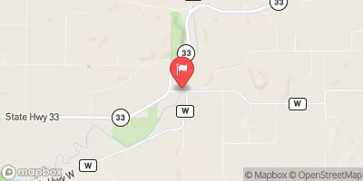
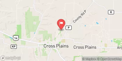
Detzman is a privately owned earth dam located in Lavalle, Wisconsin, along the Tr North Branch Honey Creek.
Summary
Designed by USDA NRCS and completed in 1975, the dam stands at a height of 25 feet and has a length of 400 feet, providing flood risk reduction for the area. With a storage capacity of 68 acre-feet, the dam serves multiple purposes including fish and wildlife pond creation, flood risk reduction, and recreation.
Managed by the Natural Resources Conservation Service, Detzman has a low hazard potential and a moderate risk assessment rating. The dam features an uncontrolled spillway and outlet gates, with a maximum discharge of 160 cubic feet per second. Its surface area covers 4 acres, serving a drainage area of 0.48 square miles. While the dam's condition assessment is currently unavailable, it undergoes inspections every 10 years to ensure its integrity and safety.
With Congressman Mark Pocan representing the area, Detzman plays a crucial role in managing water resources and mitigating flood risks in Sauk County, Wisconsin. As a key structure in the St. Paul District, the dam contributes to the overall conservation efforts in the region. Despite its low hazard potential, Detzman remains a vital asset for the community, highlighting the importance of proper dam maintenance and risk management in the face of changing climate conditions.
°F
°F
mph
Wind
%
Humidity
15-Day Weather Outlook
Year Completed |
1975 |
Dam Length |
400 |
Dam Height |
25 |
River Or Stream |
Tr North Branch Honey Creek |
Primary Dam Type |
Earth |
Surface Area |
4 |
Drainage Area |
0.48 |
Nid Storage |
68 |
Outlet Gates |
Uncontrolled |
Hazard Potential |
Low |
Nid Height |
25 |
Seasonal Comparison
5-Day Hourly Forecast Detail
Nearby Streamflow Levels
Dam Data Reference
Condition Assessment
SatisfactoryNo existing or potential dam safety deficiencies are recognized. Acceptable performance is expected under all loading conditions (static, hydrologic, seismic) in accordance with the minimum applicable state or federal regulatory criteria or tolerable risk guidelines.
Fair
No existing dam safety deficiencies are recognized for normal operating conditions. Rare or extreme hydrologic and/or seismic events may result in a dam safety deficiency. Risk may be in the range to take further action. Note: Rare or extreme event is defined by the regulatory agency based on their minimum
Poor A dam safety deficiency is recognized for normal operating conditions which may realistically occur. Remedial action is necessary. POOR may also be used when uncertainties exist as to critical analysis parameters which identify a potential dam safety deficiency. Investigations and studies are necessary.
Unsatisfactory
A dam safety deficiency is recognized that requires immediate or emergency remedial action for problem resolution.
Not Rated
The dam has not been inspected, is not under state or federal jurisdiction, or has been inspected but, for whatever reason, has not been rated.
Not Available
Dams for which the condition assessment is restricted to approved government users.
Hazard Potential Classification
HighDams assigned the high hazard potential classification are those where failure or mis-operation will probably cause loss of human life.
Significant
Dams assigned the significant hazard potential classification are those dams where failure or mis-operation results in no probable loss of human life but can cause economic loss, environment damage, disruption of lifeline facilities, or impact other concerns. Significant hazard potential classification dams are often located in predominantly rural or agricultural areas but could be in areas with population and significant infrastructure.
Low
Dams assigned the low hazard potential classification are those where failure or mis-operation results in no probable loss of human life and low economic and/or environmental losses. Losses are principally limited to the owner's property.
Undetermined
Dams for which a downstream hazard potential has not been designated or is not provided.
Not Available
Dams for which the downstream hazard potential is restricted to approved government users.


 Detzman