Summary
Completed in 1971, the dam stands at a height of 29 feet and has a length of 370 feet, with a primary purpose of fire protection, stock, or small fish pond. It also serves additional purposes such as flood risk reduction and recreation, with a storage capacity of 20 acre-feet and a drainage area of 0.2 square miles.
Although Mott has a low hazard potential, its condition assessment is rated as poor, indicating a need for maintenance and repairs. The last inspection was conducted in August 2010, with an inspection frequency of 10 years. The dam's risk assessment is moderate, with a DSAC assigned date yet to be determined. It is regulated by the Wisconsin Department of Natural Resources and is subject to state permitting, inspection, and enforcement.
Given its location and purpose, Mott plays a crucial role in water resource management and climate resilience in the region. With its strategic position along the TR-Wheat Hollow Creek, the dam not only provides essential fire protection and water storage but also contributes to flood risk reduction and recreational opportunities. However, the dam's poor condition assessment highlights the importance of regular maintenance and risk management to ensure its continued functionality and safety for the community and surrounding ecosystems.
°F
°F
mph
Wind
%
Humidity
15-Day Weather Outlook
Year Completed |
1971 |
Dam Length |
370 |
Dam Height |
29 |
River Or Stream |
TR-WHEAT HOLLOW CREEK |
Primary Dam Type |
Earth |
Surface Area |
2 |
Hydraulic Height |
29 |
Drainage Area |
0.2 |
Nid Storage |
20 |
Structural Height |
29 |
Hazard Potential |
Low |
Nid Height |
29 |
Seasonal Comparison
5-Day Hourly Forecast Detail
Nearby Streamflow Levels
 Wisconsin River At Muscoda
|
11400cfs |
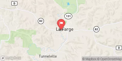
 Kickapoo River At La Farge
|
272cfs |
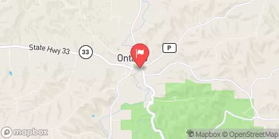
 Kickapoo River At State Highway 33 At Ontario
|
149cfs |
 Wisconsin River Near Wisconsin Dells
|
6300cfs |
 Baraboo River Near Baraboo
|
304cfs |
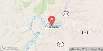
 Kickapoo River At Steuben
|
437cfs |
Dam Data Reference
Condition Assessment
SatisfactoryNo existing or potential dam safety deficiencies are recognized. Acceptable performance is expected under all loading conditions (static, hydrologic, seismic) in accordance with the minimum applicable state or federal regulatory criteria or tolerable risk guidelines.
Fair
No existing dam safety deficiencies are recognized for normal operating conditions. Rare or extreme hydrologic and/or seismic events may result in a dam safety deficiency. Risk may be in the range to take further action. Note: Rare or extreme event is defined by the regulatory agency based on their minimum
Poor A dam safety deficiency is recognized for normal operating conditions which may realistically occur. Remedial action is necessary. POOR may also be used when uncertainties exist as to critical analysis parameters which identify a potential dam safety deficiency. Investigations and studies are necessary.
Unsatisfactory
A dam safety deficiency is recognized that requires immediate or emergency remedial action for problem resolution.
Not Rated
The dam has not been inspected, is not under state or federal jurisdiction, or has been inspected but, for whatever reason, has not been rated.
Not Available
Dams for which the condition assessment is restricted to approved government users.
Hazard Potential Classification
HighDams assigned the high hazard potential classification are those where failure or mis-operation will probably cause loss of human life.
Significant
Dams assigned the significant hazard potential classification are those dams where failure or mis-operation results in no probable loss of human life but can cause economic loss, environment damage, disruption of lifeline facilities, or impact other concerns. Significant hazard potential classification dams are often located in predominantly rural or agricultural areas but could be in areas with population and significant infrastructure.
Low
Dams assigned the low hazard potential classification are those where failure or mis-operation results in no probable loss of human life and low economic and/or environmental losses. Losses are principally limited to the owner's property.
Undetermined
Dams for which a downstream hazard potential has not been designated or is not provided.
Not Available
Dams for which the downstream hazard potential is restricted to approved government users.

 Davis C